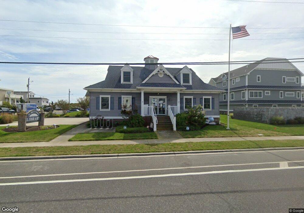
605 S Commonwealth Ave Strathmere, NJ 08248
Estimated Value: $1,415,861 - $2,470,000
--
Bed
--
Bath
2,289
Sq Ft
$919/Sq Ft
Est. Value
About This Home
This home is located at 605 S Commonwealth Ave, Strathmere, NJ 08248 and is currently estimated at $2,102,715, approximately $918 per square foot. 605 S Commonwealth Ave is a home with nearby schools including Ocean City Primary School, Ocean City Intermediate School, and Ocean City High School.
Ownership History
Date
Name
Owned For
Owner Type
Purchase Details
Closed on
Aug 22, 2022
Sold by
Rossi Thomas M
Bought by
Rossi Thomas M and Rossi Marian R
Current Estimated Value
Purchase Details
Closed on
Sep 29, 2008
Sold by
Paarz Karen L
Bought by
Rossi Thomas
Create a Home Valuation Report for This Property
The Home Valuation Report is an in-depth analysis detailing your home's value as well as a comparison with similar homes in the area
Home Values in the Area
Average Home Value in this Area
Purchase History
| Date | Buyer | Sale Price | Title Company |
|---|---|---|---|
| Rossi Thomas M | -- | Rossi Thomas | |
| Rossi Thomas M | -- | Rossi Thomas | |
| Rossi Thomas | -- | None Available |
Source: Public Records
Tax History Compared to Growth
Tax History
| Year | Tax Paid | Tax Assessment Tax Assessment Total Assessment is a certain percentage of the fair market value that is determined by local assessors to be the total taxable value of land and additions on the property. | Land | Improvement |
|---|---|---|---|---|
| 2025 | $11,949 | $538,000 | $388,000 | $150,000 |
| 2024 | $11,949 | $538,000 | $388,000 | $150,000 |
| 2023 | $11,346 | $538,000 | $388,000 | $150,000 |
| 2022 | $10,964 | $538,000 | $388,000 | $150,000 |
| 2021 | $10,553 | $538,000 | $388,000 | $150,000 |
| 2020 | $10,163 | $538,000 | $388,000 | $150,000 |
| 2019 | $9,915 | $538,000 | $388,000 | $150,000 |
| 2018 | $9,657 | $538,000 | $388,000 | $150,000 |
| 2017 | $9,550 | $538,000 | $388,000 | $150,000 |
| 2016 | $9,695 | $538,000 | $388,000 | $150,000 |
| 2015 | $9,750 | $555,900 | $388,000 | $167,900 |
| 2014 | $9,458 | $660,000 | $550,000 | $110,000 |
Source: Public Records
Map
Nearby Homes
- 18 E Randolph Ave
- 5 E Sumner Ave
- 901 S Commonwealth Ave Unit SOUTH UNIT
- 901 S Commonwealth Ave Unit South
- 104 Prescott Ave
- 10 E Winthrop Ave
- 18 E Winthrop Ave
- 117 Taylor Ave
- 5647 Asbury Ave Unit 2nd Floor
- 5645 -47 Asbury Ave
- 1731 Route 9 Unit 28
- 157 Flinders Reef Unit First floor
- 400 E 55th St Unit E
- 400 E 55th St Unit D
- 5441 Central Ave
- 4 W Katherine Ave
- 104 54th St Unit 6
- 209 Bark Dr
- 5315 West Ave
- 2058 Shore Rd
- 5 E Randolph Ave
- 701 S Commonwealth Ave
- 14 E Randolph Ave
- 2 E Sherman Ave
- 6 E Randolph Ave
- 14 E Sherman Ave
- 10 E Randolph Ave
- 6 W Randolph Ave
- 10 W Randolph Ave
- 1 W Randolph Ave
- 700 S Commonwealth Ave
- 14 W Randolph Ave
- 22 E Sherman Ave
- 30 E Sherman Ave
- 18 Randolph Ave
- 4 W Sherman Ave
- 26 E Sherman Ave
- 101 Randolph Ave
- 5 Putnam Ave
- 7 E Putnam Ave