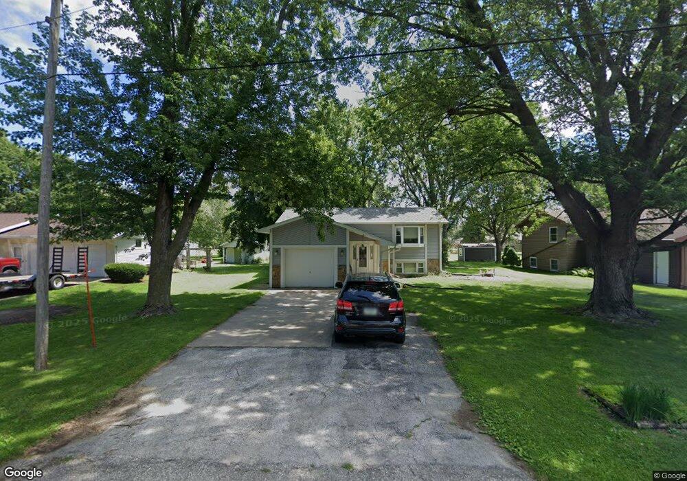
605 S Oswego St Pomeroy, IA 50575
Estimated Value: $79,000 - $125,000
2
Beds
2
Baths
989
Sq Ft
$103/Sq Ft
Est. Value
About This Home
This home is located at 605 S Oswego St, Pomeroy, IA 50575 and is currently estimated at $101,881, approximately $103 per square foot. 605 S Oswego St is a home located in Calhoun County with nearby schools including Pocahontas Area Elementary School and Pocahontas Area Middle School / High School.
Ownership History
Date
Name
Owned For
Owner Type
Purchase Details
Closed on
Sep 30, 2005
Sold by
Gray Marlene K
Bought by
Pedersen Amelia M
Current Estimated Value
Home Financials for this Owner
Home Financials are based on the most recent Mortgage that was taken out on this home.
Original Mortgage
$6,800
Outstanding Balance
$3,679
Interest Rate
5.93%
Mortgage Type
Credit Line Revolving
Estimated Equity
$98,202
Create a Home Valuation Report for This Property
The Home Valuation Report is an in-depth analysis detailing your home's value as well as a comparison with similar homes in the area
Home Values in the Area
Average Home Value in this Area
Purchase History
| Date | Buyer | Sale Price | Title Company |
|---|---|---|---|
| Pedersen Amelia M | $68,000 | -- |
Source: Public Records
Mortgage History
| Date | Status | Borrower | Loan Amount |
|---|---|---|---|
| Open | Pedersen Amelia M | $6,800 |
Source: Public Records
Tax History Compared to Growth
Tax History
| Year | Tax Paid | Tax Assessment Tax Assessment Total Assessment is a certain percentage of the fair market value that is determined by local assessors to be the total taxable value of land and additions on the property. | Land | Improvement |
|---|---|---|---|---|
| 2024 | $1,366 | $91,040 | $6,300 | $84,740 |
| 2023 | $910 | $91,040 | $6,300 | $84,740 |
| 2022 | $970 | $55,540 | $5,250 | $50,290 |
| 2021 | $1,146 | $55,540 | $5,250 | $50,290 |
| 2020 | $1,095 | $59,510 | $5,250 | $54,260 |
| 2019 | $1,039 | $54,310 | $5,250 | $49,060 |
| 2018 | $1,022 | $54,310 | $5,250 | $49,060 |
| 2017 | $998 | $54,310 | $5,250 | $49,060 |
| 2016 | $978 | $52,240 | $0 | $0 |
| 2015 | $978 | $47,750 | $0 | $0 |
| 2014 | $784 | $47,750 | $0 | $0 |
Source: Public Records
Map
Nearby Homes
- 211 S Ontario St
- 7863 Twin Lakes Rd
- 5151 Lakeside Ln
- 1969 Quartz Ave
- 7467 Twin Lakes Rd
- 7493 Twin Lakes Rd
- 7342 Twin Lakes Rd
- 00 Harbors
- 00 County Highway D26 Hwy
- 16128 620th St
- 14884 620th St
- 416 Richart St
- 311 Hansen Ave
- 58406 250th Ave
- 29-89-31 ALL NE 200th Ave
- 1710 10th St
- 1329 10th St
- TBD 210th St
- 1321 Main St
- 1235 Main St