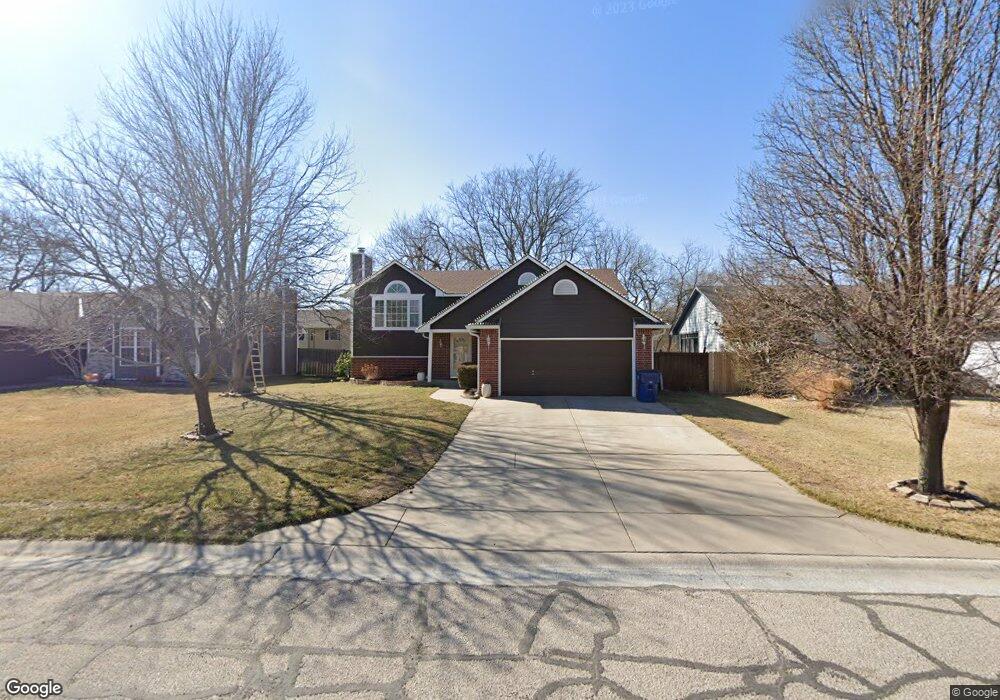
605 S Wheatland Cir Wichita, KS 67235
Far West Wichita NeighborhoodEstimated Value: $304,908 - $314,000
4
Beds
3
Baths
1,289
Sq Ft
$240/Sq Ft
Est. Value
About This Home
This home is located at 605 S Wheatland Cir, Wichita, KS 67235 and is currently estimated at $309,454, approximately $240 per square foot. 605 S Wheatland Cir is a home located in Sedgwick County with nearby schools including Apollo Elementary School, Discovery Intermediate School, and Dwight D. Eisenhower Middle School.
Ownership History
Date
Name
Owned For
Owner Type
Purchase Details
Closed on
Sep 27, 2023
Sold by
Bernall Marielena Guadalupe
Bought by
Bernal-Flores Martin
Current Estimated Value
Purchase Details
Closed on
Jun 13, 2016
Sold by
Todd Brian Keith and Todd Janice Sue
Bought by
Bernal Flores Martin and Guadalupe Bernal Marielena
Home Financials for this Owner
Home Financials are based on the most recent Mortgage that was taken out on this home.
Original Mortgage
$158,083
Interest Rate
3.37%
Mortgage Type
FHA
Create a Home Valuation Report for This Property
The Home Valuation Report is an in-depth analysis detailing your home's value as well as a comparison with similar homes in the area
Home Values in the Area
Average Home Value in this Area
Purchase History
| Date | Buyer | Sale Price | Title Company |
|---|---|---|---|
| Bernal-Flores Martin | -- | Security 1St Title | |
| Bernal Flores Martin | -- | Security 1St Title |
Source: Public Records
Mortgage History
| Date | Status | Borrower | Loan Amount |
|---|---|---|---|
| Previous Owner | Bernal Flores Martin | $158,083 |
Source: Public Records
Tax History Compared to Growth
Tax History
| Year | Tax Paid | Tax Assessment Tax Assessment Total Assessment is a certain percentage of the fair market value that is determined by local assessors to be the total taxable value of land and additions on the property. | Land | Improvement |
|---|---|---|---|---|
| 2025 | $3,328 | $31,200 | $6,475 | $24,725 |
| 2023 | $3,328 | $26,634 | $4,761 | $21,873 |
| 2022 | $2,735 | $23,771 | $4,497 | $19,274 |
| 2021 | $2,563 | $22,012 | $3,117 | $18,895 |
| 2020 | $2,427 | $20,574 | $3,117 | $17,457 |
| 2019 | $2,393 | $20,160 | $3,117 | $17,043 |
| 2018 | $2,268 | $18,838 | $2,427 | $16,411 |
| 2017 | $1,948 | $0 | $0 | $0 |
| 2016 | $1,916 | $0 | $0 | $0 |
| 2015 | $1,939 | $0 | $0 | $0 |
| 2014 | $1,965 | $0 | $0 | $0 |
Source: Public Records
Map
Nearby Homes
- 12841 W Hendryx Ct
- 621 S Limuel Cir
- 12706 W Taft St
- 13119 W Naples St
- 13404 W Links St
- 1222 S Forestview St
- 1425 S Canyon St
- 13501 W Links St
- 1219 S Forestview St
- 1433 S Canyon St
- 214 S Breezy Pointe Cir
- 13501 W Naples Cir
- 438 S Nineiron Ct
- 342 S Nineiron St
- 12998 U S 54
- 12854 W Wheatland Ct
- 12836 W Wheatland Ct
- 12830 W Wheatland Ct
- 236 S Parkridge St
- 373 S Covington St
- 601 S Wheatland Cir
- 609 S Wheatland Cir
- 613 S Wheatland Cir
- 12805 W Hendryx Ct
- 12801 W Hendryx Ct
- 12809 W Hendryx Ct
- 606 S Wheatland Cir
- 602 S Wheatland Cir
- 533 S Wheatland St
- 610 S Wheatland Cir
- 12813 W Hendryx Ct
- 617 S Wheatland Cir
- 614 S Wheatland Cir
- 529 S Wheatland St
- 532 S Wheatland St
- 621 S Wheatland Cir
- 12817 W Hendryx Ct
- 618 S Wheatland Cir
- 12709 W Hendryx Ct
- 12845 W Hendryx Ct