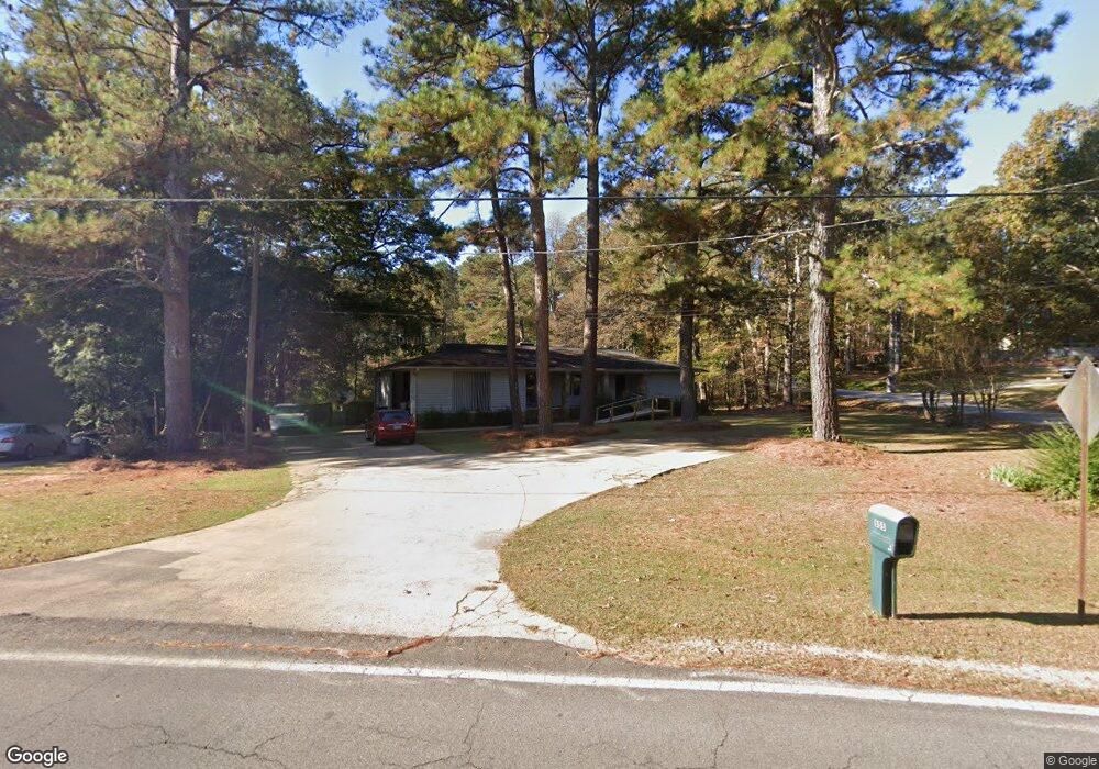
605 Seminole Rd Lagrange, GA 30240
Estimated Value: $297,114 - $342,000
3
Beds
3
Baths
2,060
Sq Ft
$150/Sq Ft
Est. Value
About This Home
This home is located at 605 Seminole Rd, Lagrange, GA 30240 and is currently estimated at $309,529, approximately $150 per square foot. 605 Seminole Rd is a home located in Troup County with nearby schools including Ethel W. Kight Elementary School, Hollis Hand Elementary School, and Franklin Forest Elementary School.
Ownership History
Date
Name
Owned For
Owner Type
Purchase Details
Closed on
Dec 31, 1997
Sold by
James R Horne
Bought by
Horne James R and Horne Janice W
Current Estimated Value
Purchase Details
Closed on
Jul 1, 1980
Sold by
Frankie M Horne
Bought by
James R Horne
Purchase Details
Closed on
Dec 28, 1979
Sold by
Jan John and Jan Mcconnell
Bought by
Frankie M Horne
Purchase Details
Closed on
Aug 15, 1977
Sold by
Charlie R Whitaker
Bought by
Jan John and Jan Mcconnell
Create a Home Valuation Report for This Property
The Home Valuation Report is an in-depth analysis detailing your home's value as well as a comparison with similar homes in the area
Home Values in the Area
Average Home Value in this Area
Purchase History
| Date | Buyer | Sale Price | Title Company |
|---|---|---|---|
| Horne James R | -- | -- | |
| James R Horne | -- | -- | |
| Frankie M Horne | $85,000 | -- | |
| Jan John | $5,500 | -- |
Source: Public Records
Tax History Compared to Growth
Tax History
| Year | Tax Paid | Tax Assessment Tax Assessment Total Assessment is a certain percentage of the fair market value that is determined by local assessors to be the total taxable value of land and additions on the property. | Land | Improvement |
|---|---|---|---|---|
| 2024 | $2,785 | $104,120 | $14,000 | $90,120 |
| 2023 | $2,599 | $97,300 | $10,000 | $87,300 |
| 2022 | $2,493 | $91,300 | $10,000 | $81,300 |
| 2021 | $2,301 | $78,272 | $10,000 | $68,272 |
| 2020 | $2,180 | $74,272 | $6,000 | $68,272 |
| 2019 | $1,912 | $65,393 | $4,393 | $61,000 |
| 2018 | $1,743 | $59,793 | $4,393 | $55,400 |
| 2017 | $1,743 | $59,793 | $4,393 | $55,400 |
| 2016 | $1,695 | $58,178 | $4,393 | $53,785 |
| 2015 | $1,726 | $59,101 | $5,316 | $53,785 |
| 2014 | $1,643 | $56,270 | $5,316 | $50,954 |
| 2013 | -- | $57,713 | $5,316 | $52,397 |
Source: Public Records
Map
Nearby Homes
- 108 Spring Valley Dr
- 104 Spring Valley Dr
- 200 Cheyenne Dr
- 641 Whitaker Rd
- 208 Highland Trail
- 117 Brookwood Dr
- 223 Pinehaven Dr
- 146 Whitaker Rd
- E Angela Dr
- LOT 4 Angela Dr
- 102 Willowcrest Way
- 0 Cameron Mill Rd Unit 10640133
- 654 Cameron Mill Rd
- 114 Morgan Dr
- 243 Oak Dr
- 116 Morgan Dr
- 114-116 Morgan Dr
- 101 Deal Dr
- 3 Reed Dr
- 509 Connie Dr
- 603 Seminole Rd
- 607 Seminole Rd
- 101 Shawnee Dr
- 100 Cheyenne Dr
- 601 Seminole Rd
- 100 Shawnee Dr
- 609 Seminole Rd
- 604 Seminole Rd
- 541 Whitaker Rd
- 103 Shawnee Dr
- 102 Iroquois Dr
- 495 Whitaker Rd
- 611 Seminole Rd
- 102 Cheyenne Dr
- 102 Cheyenne Dr Unit 6
- 553 Whitaker Rd
- 606 Seminole Rd
- 532 Whitaker Rd
- 104 Iroquois Dr
- 141 Shoshoni Dr