605 Teeside Ct Unit 4 Saint Augustine, FL 32080
Marsh Creek NeighborhoodEstimated Value: $568,000 - $717,000
2
Beds
3
Baths
2,066
Sq Ft
$296/Sq Ft
Est. Value
About This Home
This home is located at 605 Teeside Ct Unit 4, Saint Augustine, FL 32080 and is currently estimated at $612,123, approximately $296 per square foot. 605 Teeside Ct Unit 4 is a home located in St. Johns County with nearby schools including R.B. Hunt Elementary School, Sebastian Middle School, and St. Augustine High School.
Ownership History
Date
Name
Owned For
Owner Type
Purchase Details
Closed on
Dec 18, 2013
Sold by
Hull Kay and Hull Richard C
Bought by
Hull Kay I and Kay I Hull Revocable Living Tr
Current Estimated Value
Purchase Details
Closed on
Nov 19, 2004
Sold by
Roberts Margaret Reynolds
Bought by
Hull Kay
Home Financials for this Owner
Home Financials are based on the most recent Mortgage that was taken out on this home.
Original Mortgage
$240,000
Outstanding Balance
$115,517
Interest Rate
5.25%
Mortgage Type
Purchase Money Mortgage
Estimated Equity
$496,606
Purchase Details
Closed on
Nov 16, 2000
Sold by
Roberts William Clyde
Bought by
Roberts Margaret Reynolds
Create a Home Valuation Report for This Property
The Home Valuation Report is an in-depth analysis detailing your home's value as well as a comparison with similar homes in the area
Home Values in the Area
Average Home Value in this Area
Purchase History
| Date | Buyer | Sale Price | Title Company |
|---|---|---|---|
| Hull Kay I | -- | Attorney | |
| Hull Kay | $300,000 | First American | |
| Roberts Margaret Reynolds | -- | -- |
Source: Public Records
Mortgage History
| Date | Status | Borrower | Loan Amount |
|---|---|---|---|
| Open | Hull Kay | $240,000 |
Source: Public Records
Tax History
| Year | Tax Paid | Tax Assessment Tax Assessment Total Assessment is a certain percentage of the fair market value that is determined by local assessors to be the total taxable value of land and additions on the property. | Land | Improvement |
|---|---|---|---|---|
| 2025 | $3,092 | $282,927 | -- | -- |
| 2024 | $3,092 | $274,953 | -- | -- |
| 2023 | $3,092 | $266,945 | $0 | $0 |
| 2022 | $3,056 | $259,170 | $0 | $0 |
| 2021 | $3,034 | $251,621 | $0 | $0 |
| 2020 | $3,022 | $248,147 | $0 | $0 |
| 2019 | $3,076 | $242,568 | $0 | $0 |
| 2018 | $3,040 | $238,045 | $0 | $0 |
| 2017 | $3,027 | $233,149 | $0 | $0 |
| 2016 | $3,027 | $235,205 | $0 | $0 |
| 2015 | $3,071 | $233,570 | $0 | $0 |
| 2014 | $3,089 | $231,716 | $0 | $0 |
Source: Public Records
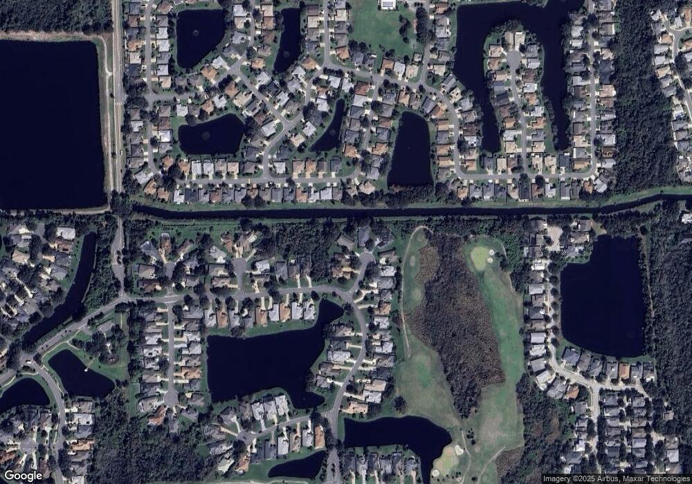
Map
Nearby Homes
- 606 Teeside Ct
- 507 Lakeway Dr
- 701 Captains Dr
- 2329 Commodores Club Blvd
- 520 Peninsula Ct
- 649 Nautical Way
- 249 Marshside Dr
- 612 Nautical Way
- 144 Cedar Ridge Cir
- 2502 Oleander St
- 432 High Tide Dr
- 146 Ocean Cay Blvd
- 2457 A1a S
- 996 Saltwater Cir
- 1121 Overdale Rd
- 497 Pyrus St
- 633 W Pope Rd
- 383 High Tide Dr
- 249 Fiddlers Point Dr
- 207 Marshside Dr
- 603 Teeside Ct
- 607 Teeside Ct
- 601 Teeside Ct
- 522 Lakeway Dr
- 736 Captains Dr
- 608 Teeside Ct
- 732 Captains Dr
- 740 Captains Dr
- 604 Teeside Ct
- 744 Captains Dr
- 524 Lakeway Dr
- 602 Teeside Ct
- 728 Captains Dr
- 748 Captains Dr
- 518 Lakeway Dr
- 752 Captains Dr
- 724 Captains Dr
- 733 Captains Dr
- 741 Captains Dr
- 756 Captains Dr
Your Personal Tour Guide
Ask me questions while you tour the home.