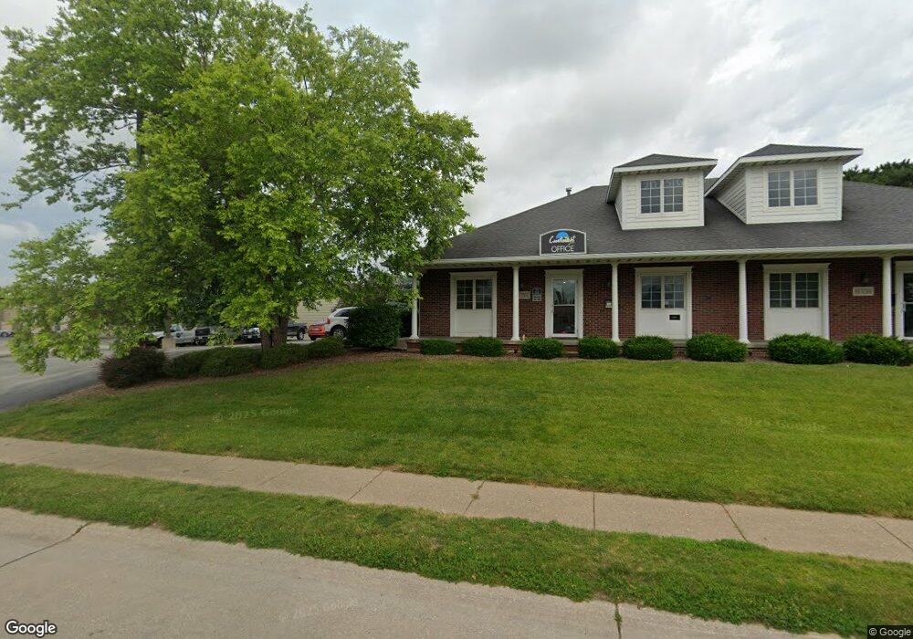
605 W 53rd St Unit B Davenport, IA 52806
North Side Neighborhood
--
Bed
--
Bath
3,536
Sq Ft
0.39
Acres
About This Home
This home is located at 605 W 53rd St Unit B, Davenport, IA 52806. 605 W 53rd St Unit B is a home located in Scott County with nearby schools including Cumberland Hall School, Harrison Elementary School, and Academy Of Continuing Education.
Ownership History
Date
Name
Owned For
Owner Type
Purchase Details
Closed on
Jan 1, 2021
Sold by
Mimg Lr4 Candlelight Llc
Bought by
Mimg Cliii Candlelight Llc
Home Financials for this Owner
Home Financials are based on the most recent Mortgage that was taken out on this home.
Original Mortgage
$19,040,000
Interest Rate
2.7%
Mortgage Type
New Conventional
Create a Home Valuation Report for This Property
The Home Valuation Report is an in-depth analysis detailing your home's value as well as a comparison with similar homes in the area
Home Values in the Area
Average Home Value in this Area
Purchase History
| Date | Buyer | Sale Price | Title Company |
|---|---|---|---|
| Mimg Cliii Candlelight Llc | $2,400,000 | None Listed On Document |
Source: Public Records
Mortgage History
| Date | Status | Borrower | Loan Amount |
|---|---|---|---|
| Previous Owner | Mimg Cliii Candlelight Llc | $19,040,000 |
Source: Public Records
Tax History Compared to Growth
Tax History
| Year | Tax Paid | Tax Assessment Tax Assessment Total Assessment is a certain percentage of the fair market value that is determined by local assessors to be the total taxable value of land and additions on the property. | Land | Improvement |
|---|---|---|---|---|
| 2025 | $16,768 | $555,550 | $86,880 | $468,670 |
| 2024 | $16,352 | $555,550 | $86,880 | $468,670 |
| 2023 | $15,916 | $555,550 | $86,880 | $468,670 |
| 2022 | $18,246 | $511,390 | $86,880 | $424,510 |
| 2021 | $18,246 | $511,390 | $86,880 | $424,510 |
| 2020 | $15,126 | $511,390 | $86,880 | $424,510 |
| 2019 | $13,874 | $483,620 | $86,880 | $396,740 |
| 2018 | $13,906 | $483,620 | $86,880 | $396,740 |
| 2017 | $10,478 | $483,620 | $86,880 | $396,740 |
| 2016 | $10,172 | $384,800 | $0 | $0 |
| 2015 | $10,172 | $384,800 | $0 | $0 |
| 2014 | $11,288 | $384,800 | $0 | $0 |
| 2013 | $13,698 | $0 | $0 | $0 |
| 2012 | -- | $384,800 | $60,800 | $324,000 |
Source: Public Records
Map
Nearby Homes
- 710 Northbrook Dr
- 611 Northbrook Dr
- 4942 Brown St
- 825 Northbrook Dr
- 315 Colony Dr
- 4717 N Harrison St
- 4610 N Ripley St
- 5001 Northwest Blvd
- 4804 Northwest Blvd
- 405 Westerfield Rd
- 1005 W 58th St
- 1033 W 58th St
- 7 Vista Ct
- 4757 Willow Cir
- 4743 Willow Cir
- 6205 N Ripley St
- 4730 Willow Cir
- 6112 Western Ave
- 4505 Sheridan St
- 6127 Fair Ave
- 605 W 53rd St
- 404 W 53rd St
- 418 Boston Ct
- 412 Boston Ct
- 410 Boston Ct
- 5122 Western Ave
- 607 Boston Dr
- 613 - 615 Boston
- 615 Boston Dr
- 613 Boston Dr Unit 15
- 613 Boston Dr
- 5121 Western Ave
- 619 Boston Dr
- 5136 N Ripley St
- 411 Boston Ct
- 623 Boston Dr
- 5130 N Ripley St
- 627 Boston Dr
- 419 Boston Ct
- 717 W 53rd St