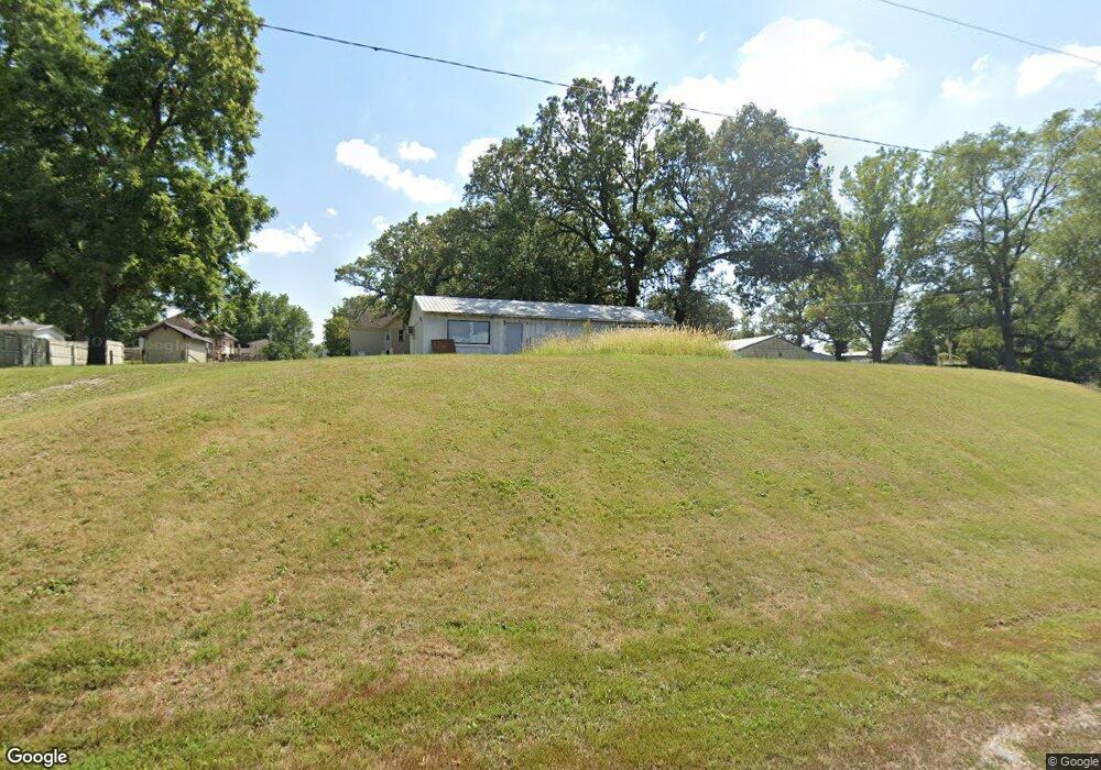
605 W 5th St Atlantic, IA 50022
Estimated Value: $79,000 - $100,443
3
Beds
1
Bath
1,152
Sq Ft
$79/Sq Ft
Est. Value
About This Home
This home is located at 605 W 5th St, Atlantic, IA 50022 and is currently estimated at $90,861, approximately $78 per square foot. 605 W 5th St is a home located in Cass County with nearby schools including Washington Elementary School, Schuler Elementary School, and Atlantic Middle School.
Ownership History
Date
Name
Owned For
Owner Type
Purchase Details
Closed on
Oct 26, 2021
Sold by
Schmitt Kent W and Schmitt Linda K
Bought by
L & K Schmitt Llc
Current Estimated Value
Purchase Details
Closed on
Jan 8, 2013
Sold by
Livingston Wayne A and Livingston Diana
Bought by
Schmitt Dustin G
Home Financials for this Owner
Home Financials are based on the most recent Mortgage that was taken out on this home.
Original Mortgage
$42,900
Interest Rate
3.3%
Mortgage Type
VA
Create a Home Valuation Report for This Property
The Home Valuation Report is an in-depth analysis detailing your home's value as well as a comparison with similar homes in the area
Home Values in the Area
Average Home Value in this Area
Purchase History
| Date | Buyer | Sale Price | Title Company |
|---|---|---|---|
| L & K Schmitt Llc | -- | None Listed On Document | |
| Schmitt Dustin G | $42,000 | None Available |
Source: Public Records
Mortgage History
| Date | Status | Borrower | Loan Amount |
|---|---|---|---|
| Previous Owner | Schmitt Dustin G | $42,900 |
Source: Public Records
Tax History Compared to Growth
Tax History
| Year | Tax Paid | Tax Assessment Tax Assessment Total Assessment is a certain percentage of the fair market value that is determined by local assessors to be the total taxable value of land and additions on the property. | Land | Improvement |
|---|---|---|---|---|
| 2024 | $1,406 | $78,180 | $4,750 | $73,430 |
| 2023 | $1,466 | $78,180 | $4,750 | $73,430 |
| 2022 | $1,442 | $68,450 | $4,750 | $63,700 |
| 2021 | $1,442 | $68,450 | $4,750 | $63,700 |
| 2020 | $1,376 | $62,080 | $4,750 | $57,330 |
| 2019 | $1,282 | $54,750 | $0 | $0 |
| 2018 | $1,266 | $54,750 | $0 | $0 |
| 2017 | $994 | $41,640 | $0 | $0 |
| 2016 | $980 | $41,640 | $0 | $0 |
| 2015 | $690 | $41,640 | $0 | $0 |
| 2014 | $692 | $41,640 | $0 | $0 |
Source: Public Records
Map
Nearby Homes