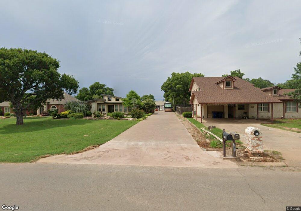
605 W Plato Rd Duncan, OK 73533
Estimated Value: $289,000 - $381,000
4
Beds
4
Baths
3,500
Sq Ft
$91/Sq Ft
Est. Value
About This Home
This home is located at 605 W Plato Rd, Duncan, OK 73533 and is currently estimated at $319,241, approximately $91 per square foot. 605 W Plato Rd is a home located in Stephens County with nearby schools including Plato Elementary School, Duncan Middle School, and Duncan High School.
Ownership History
Date
Name
Owned For
Owner Type
Purchase Details
Closed on
Oct 24, 2012
Sold by
Moriarty Sharron
Bought by
Mccormack Bryan
Current Estimated Value
Purchase Details
Closed on
Aug 3, 2009
Sold by
Mccormack Renee D Ann
Bought by
Mccormack Robert Bryan
Purchase Details
Closed on
May 30, 2002
Sold by
Steele Sanya Pat
Purchase Details
Closed on
Sep 1, 2001
Sold by
Moriarty Danny
Create a Home Valuation Report for This Property
The Home Valuation Report is an in-depth analysis detailing your home's value as well as a comparison with similar homes in the area
Home Values in the Area
Average Home Value in this Area
Purchase History
| Date | Buyer | Sale Price | Title Company |
|---|---|---|---|
| Mccormack Bryan | -- | -- | |
| Mccormack Robert Bryan | -- | None Available | |
| -- | $15,500 | -- | |
| -- | -- | -- |
Source: Public Records
Tax History Compared to Growth
Tax History
| Year | Tax Paid | Tax Assessment Tax Assessment Total Assessment is a certain percentage of the fair market value that is determined by local assessors to be the total taxable value of land and additions on the property. | Land | Improvement |
|---|---|---|---|---|
| 2025 | $1,960 | $24,226 | $388 | $23,838 |
| 2024 | $1,918 | $23,520 | $377 | $23,143 |
| 2023 | $1,918 | $23,520 | $358 | $23,162 |
| 2022 | $1,800 | $22,835 | $372 | $22,463 |
| 2021 | $1,748 | $21,524 | $241 | $21,283 |
| 2020 | $1,820 | $22,082 | $241 | $21,841 |
| 2019 | $1,768 | $21,439 | $241 | $21,198 |
| 2018 | $1,765 | $21,439 | $241 | $21,198 |
| 2017 | $1,651 | $20,815 | $347 | $20,468 |
| 2016 | $1,583 | $19,620 | $343 | $19,277 |
| 2015 | $1,530 | $19,049 | $342 | $18,707 |
| 2014 | $1,530 | $18,494 | $340 | $18,154 |
Source: Public Records
Map
Nearby Homes
- 0 Townsend St
- 1004 Ranchwood Place
- 1014 Oakview Dr
- 1108 1108 W Plato Unit 40
- 1108 1108 W Plato Unit 17
- 2106 Carolin Dr
- 1108 W Plato Rd Unit 29
- 1108 W Plato Rd Unit 1
- 2702 2702 Wildwood Place
- 2518 Wildwood Place
- 3202 Williamsburg St
- 1009 1009 Timbercreek Dr
- 3495 N 5th St
- 3203 Williamsburg St
- 1102 1102 Bent Tree
- 0 Twilight Beach Rd Unit 38527
- 3505 Spencer Rd
- 1205 1205 Timbercreek Dr
- 2901 2901 Timber Ridge
- 1209 Bent Tree St