605 Walter Scott Ln Unit 1.73 Acres - with CR West Union, SC 29696
Estimated Value: $306,647 - $456,000
3
Beds
2
Baths
2,000
Sq Ft
$189/Sq Ft
Est. Value
About This Home
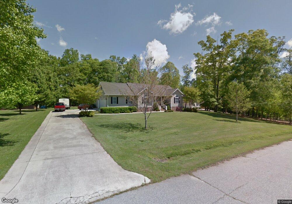
This home is located at 605 Walter Scott Ln Unit 1.73 Acres - with CR, West Union, SC 29696 and is currently estimated at $378,662, approximately $189 per square foot. 605 Walter Scott Ln Unit 1.73 Acres - with CR is a home located in Oconee County with nearby schools including Walhalla Elementary School, Walhalla Middle School, and Walhalla High School.
Ownership History
Date
Name
Owned For
Owner Type
Purchase Details
Closed on
Oct 18, 2012
Sold by
Payne Matthew Ryan and Payne Krystal Roberts
Bought by
Bright William Harold and Bright Cheryl W
Current Estimated Value
Home Financials for this Owner
Home Financials are based on the most recent Mortgage that was taken out on this home.
Original Mortgage
$125,000
Outstanding Balance
$86,022
Interest Rate
3.53%
Mortgage Type
New Conventional
Estimated Equity
$292,640
Purchase Details
Closed on
Aug 18, 2009
Sold by
Bentley William Howard
Bought by
Payne Matthew Ryan and Payne Krystal Roberts
Home Financials for this Owner
Home Financials are based on the most recent Mortgage that was taken out on this home.
Original Mortgage
$169,707
Interest Rate
5.75%
Mortgage Type
Unknown
Create a Home Valuation Report for This Property
The Home Valuation Report is an in-depth analysis detailing your home's value as well as a comparison with similar homes in the area
Home Values in the Area
Average Home Value in this Area
Purchase History
| Date | Buyer | Sale Price | Title Company |
|---|---|---|---|
| Bright William Harold | $160,000 | -- | |
| Payne Matthew Ryan | $210,000 | -- |
Source: Public Records
Mortgage History
| Date | Status | Borrower | Loan Amount |
|---|---|---|---|
| Open | Bright William Harold | $125,000 | |
| Previous Owner | Payne Matthew Ryan | $169,707 |
Source: Public Records
Tax History Compared to Growth
Tax History
| Year | Tax Paid | Tax Assessment Tax Assessment Total Assessment is a certain percentage of the fair market value that is determined by local assessors to be the total taxable value of land and additions on the property. | Land | Improvement |
|---|---|---|---|---|
| 2025 | $611 | $7,824 | $516 | $7,308 |
| 2024 | $611 | $7,824 | $516 | $7,308 |
| 2023 | $619 | $7,824 | $516 | $7,308 |
| 2022 | $619 | $7,824 | $516 | $7,308 |
| 2021 | $598 | $7,479 | $546 | $6,933 |
| 2020 | $610 | $7,479 | $546 | $6,933 |
| 2019 | $610 | $0 | $0 | $0 |
| 2018 | $1,660 | $0 | $0 | $0 |
| 2017 | $598 | $0 | $0 | $0 |
| 2016 | $598 | $0 | $0 | $0 |
| 2015 | -- | $0 | $0 | $0 |
| 2014 | -- | $7,696 | $764 | $6,933 |
| 2013 | -- | $0 | $0 | $0 |
Source: Public Records
Map
Nearby Homes
- 00 Eleanore Dr
- 621 Burns Mill Rd
- 625 Burns Mill Rd
- 130 Raleighs Ln
- 115 Burns Mill Rd
- 517 Fowler Rd
- 146 Jefferson Rd
- 173 W Waters Edge Ln
- 141 W Waters Edge Ln
- 137 W Waters Edge Ln
- Lot 57 W Waters Edge Ln
- Lot 55 W Waters Edge Ln
- Lot 7 Winstead Rd
- 825 & 833 Armada Way
- 000 Anderson St
- 204 Friendship Dr
- Lot 44 Glassy Water Way
- 98 E W Waters Edge Ln
- 147 Mcalister Rd
- 209 Moore Ave
- 605 Walter Scott Ln
- 601 Walter Scott Ln
- 611 Walter Scott Ln
- 602 Walter Scott Ln Unit 1
- 602 Walter Scott Ln
- 612 Walter Scott Ln
- 613 Walter Scott Ln
- 471 Burns Mill Rd
- 452 Burns Mill Rd
- 506 Duncan Ln
- 446 Burns Mill Rd
- 300 Wickliffe Ln
- 306 Wickliffe Ln
- 710 Saddle Creek Ln
- 441 Burns Mill Rd
- 438 Burns Mill Rd
- 437 Burns Mill Rd
- 430 Burns Mill Rd
- 308 Wickliffe Ln
- 433 Burns Mill Rd