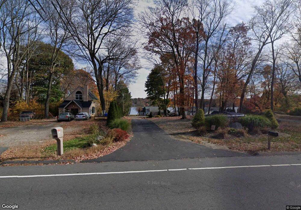
605 Witches Rock Rd Bristol, CT 06010
South Bristol NeighborhoodEstimated Value: $563,000 - $746,083
3
Beds
3
Baths
1,535
Sq Ft
$442/Sq Ft
Est. Value
About This Home
This home is located at 605 Witches Rock Rd, Bristol, CT 06010 and is currently estimated at $678,521, approximately $442 per square foot. 605 Witches Rock Rd is a home located in Hartford County with nearby schools including Chippens Hill Middle School, Bristol Central High School, and Immanuel Lutheran School.
Ownership History
Date
Name
Owned For
Owner Type
Purchase Details
Closed on
Apr 20, 2022
Sold by
Porrini Francis J
Bought by
Stevens Tyler and Stevens Julie M
Current Estimated Value
Home Financials for this Owner
Home Financials are based on the most recent Mortgage that was taken out on this home.
Original Mortgage
$522,500
Outstanding Balance
$486,912
Interest Rate
3.85%
Mortgage Type
Purchase Money Mortgage
Estimated Equity
$191,609
Purchase Details
Closed on
Oct 7, 2014
Sold by
Tardif Hilda M
Bought by
Porrini Francis J
Home Financials for this Owner
Home Financials are based on the most recent Mortgage that was taken out on this home.
Original Mortgage
$240,000
Interest Rate
4.11%
Mortgage Type
New Conventional
Create a Home Valuation Report for This Property
The Home Valuation Report is an in-depth analysis detailing your home's value as well as a comparison with similar homes in the area
Home Values in the Area
Average Home Value in this Area
Purchase History
| Date | Buyer | Sale Price | Title Company |
|---|---|---|---|
| Stevens Tyler | $550,000 | None Available | |
| Porrini Francis J | $300,000 | -- |
Source: Public Records
Mortgage History
| Date | Status | Borrower | Loan Amount |
|---|---|---|---|
| Open | Stevens Tyler | $522,500 | |
| Previous Owner | Porrini Francis J | $240,000 |
Source: Public Records
Tax History Compared to Growth
Tax History
| Year | Tax Paid | Tax Assessment Tax Assessment Total Assessment is a certain percentage of the fair market value that is determined by local assessors to be the total taxable value of land and additions on the property. | Land | Improvement |
|---|---|---|---|---|
| 2025 | $13,539 | $401,160 | $246,530 | $154,630 |
| 2024 | $12,777 | $401,160 | $246,530 | $154,630 |
| 2023 | $12,175 | $401,160 | $246,530 | $154,630 |
| 2022 | $10,067 | $262,500 | $169,710 | $92,790 |
| 2021 | $10,067 | $262,500 | $169,710 | $92,790 |
| 2020 | $10,067 | $262,500 | $169,710 | $92,790 |
| 2019 | $9,988 | $262,500 | $169,710 | $92,790 |
| 2018 | $10,529 | $285,490 | $169,710 | $115,780 |
| 2017 | $9,420 | $261,450 | $162,400 | $99,050 |
| 2016 | $8,850 | $245,630 | $162,400 | $83,230 |
| 2015 | $8,283 | $239,330 | $162,400 | $76,930 |
| 2014 | $8,283 | $239,330 | $162,400 | $76,930 |
Source: Public Records
Map
Nearby Homes
- 26 Kilmartin Ave
- 32 Cameron Dr
- 115 Kilmartin Ave
- 351 Witches Rock Rd
- 1253 Spindle Hill Rd
- 140 Corbin Ridge
- 123 Corbin Ridge
- 66 Mattatuck Rd
- 101 Corbin Ridge
- 48 Cancellaro Dr
- 156 Corbin Ridge
- 145 Corbin Ridge
- 13 Overlook Terrace
- 22 Overlook Terrace
- 93-95 Eastview Rd
- 4 Fall Mountain Terrace
- 1166 Spindle Hill Rd
- 1557 Wolcott Rd
- 121 Barclare Ln
- 41 Long Swamp Rd
- 611 Witches Rock Rd
- 613 Witches Rock Rd
- 595 Witches Rock Rd
- 615 Witches Rock Rd
- 585 Witches Rock Rd
- 597 Witches Rock Rd
- 621 Witches Rock Rd
- 575 Witches Rock Rd
- 637 Witches Rock Rd
- 580 Witches Rock Rd
- 545 Witches Rock Rd
- 637 Witches Rock Rd
- 570 Witches Rock Rd
- 25 Tracy Ct
- 1424 Spindle Hill Rd
- 10 Kilmartin Ave
- 17 Tracy Ct
- 22 Longview Ave
- 49 Tracy Ct
- 25 Longview Ave