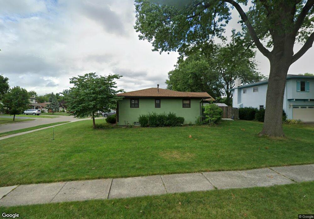
6050 Darby Ln Columbus, OH 43229
Northgate NeighborhoodEstimated Value: $306,000 - $332,000
4
Beds
3
Baths
2,136
Sq Ft
$150/Sq Ft
Est. Value
About This Home
This home is located at 6050 Darby Ln, Columbus, OH 43229 and is currently estimated at $321,260, approximately $150 per square foot. 6050 Darby Ln is a home located in Franklin County with nearby schools including Alpine Elementary School, Northgate Intermediate, and Woodward Park Middle School.
Ownership History
Date
Name
Owned For
Owner Type
Purchase Details
Closed on
May 7, 2010
Sold by
Wadkins Lise B and Wadkins Kenneth
Bought by
Sullivan Dennis E and Sullivan Jessica L
Current Estimated Value
Home Financials for this Owner
Home Financials are based on the most recent Mortgage that was taken out on this home.
Original Mortgage
$113,600
Outstanding Balance
$76,551
Interest Rate
5.16%
Mortgage Type
New Conventional
Estimated Equity
$244,709
Purchase Details
Closed on
Mar 17, 1983
Bought by
Melancon Lise B
Purchase Details
Closed on
Sep 1, 1980
Create a Home Valuation Report for This Property
The Home Valuation Report is an in-depth analysis detailing your home's value as well as a comparison with similar homes in the area
Home Values in the Area
Average Home Value in this Area
Purchase History
| Date | Buyer | Sale Price | Title Company |
|---|---|---|---|
| Sullivan Dennis E | $142,000 | Gahanna | |
| Melancon Lise B | -- | -- | |
| -- | $59,800 | -- |
Source: Public Records
Mortgage History
| Date | Status | Borrower | Loan Amount |
|---|---|---|---|
| Open | Sullivan Dennis E | $113,600 |
Source: Public Records
Tax History Compared to Growth
Tax History
| Year | Tax Paid | Tax Assessment Tax Assessment Total Assessment is a certain percentage of the fair market value that is determined by local assessors to be the total taxable value of land and additions on the property. | Land | Improvement |
|---|---|---|---|---|
| 2024 | $4,343 | $96,780 | $22,610 | $74,170 |
| 2023 | $4,288 | $96,775 | $22,610 | $74,165 |
| 2022 | $3,260 | $62,860 | $17,850 | $45,010 |
| 2021 | $3,266 | $62,860 | $17,850 | $45,010 |
| 2020 | $3,170 | $60,940 | $17,850 | $43,090 |
| 2019 | $2,916 | $48,060 | $14,280 | $33,780 |
| 2018 | $2,679 | $47,990 | $14,280 | $33,710 |
| 2017 | $2,909 | $47,990 | $14,280 | $33,710 |
| 2016 | $2,701 | $40,780 | $9,630 | $31,150 |
| 2015 | $2,452 | $40,780 | $9,630 | $31,150 |
| 2014 | $2,458 | $40,780 | $9,630 | $31,150 |
| 2013 | $1,348 | $45,325 | $10,710 | $34,615 |
Source: Public Records
Map
Nearby Homes
- 6035 Karl Rd
- 1549 Alpine Dr
- 5990 Ambleside Dr
- 1390 E Dublin Granville Rd
- 6342 Bellmeadow Dr
- 1752 Pine Tree St S Unit H
- 1743 Pine Tree St N Unit A
- 1288 Oakfield Dr N
- 6019 Beechcroft Rd
- 6407 Faircrest Rd
- 1687 Brookfield Square S
- 6245 Sharon Woods Blvd
- 6189 Northgap Dr
- 6458 Faircrest Rd
- 6407 Skywae Dr
- 1171 Newbury Dr
- 1492 Cottonwood Dr
- 6211 Parkdale Dr
- 1268 Kildale Ct
- 5732 Beechcroft Rd Unit B
- 1650 Lynnhurst Rd
- 6062 Darby Ln
- 6047 Darby Ln
- 6055 Darby Ln
- 6070 Darby Ln
- 6028 Darby Ln
- 6039 Darby Ln
- 1649 Lynnhurst Rd
- 6065 Darby Ln
- 1666 Lynnhurst Rd
- 1659 Lynnhurst Rd
- 6029 Darby Ln
- 6075 Darby Ln
- 6080 Darby Ln
- 1674 Lynnhurst Rd
- 1667 Lynnhurst Rd
- 6058 Karl Rd
- 6021 Darby Ln
- 6050 Karl Rd
- 6068 Karl Rd