6054 Lipp Hwy Blissfield, MI 49228
Estimated Value: $175,000 - $210,000
4
Beds
1
Bath
1,338
Sq Ft
$140/Sq Ft
Est. Value
About This Home
This home is located at 6054 Lipp Hwy, Blissfield, MI 49228 and is currently estimated at $187,327, approximately $140 per square foot. 6054 Lipp Hwy is a home located in Lenawee County with nearby schools including Blissfield Elementary School, Blissfield Middle School, and Blissfield High School.
Ownership History
Date
Name
Owned For
Owner Type
Purchase Details
Closed on
Jan 20, 2012
Sold by
Fannie Mae
Bought by
Denniss Brad
Current Estimated Value
Home Financials for this Owner
Home Financials are based on the most recent Mortgage that was taken out on this home.
Original Mortgage
$14,320
Outstanding Balance
$9,780
Interest Rate
3.9%
Mortgage Type
Future Advance Clause Open End Mortgage
Estimated Equity
$177,547
Purchase Details
Closed on
Jun 2, 2011
Sold by
Geer Thomas A and Geer Kay L
Bought by
Bac Home Loans Servicing L P
Purchase Details
Closed on
Jan 31, 2011
Sold by
Geer Kay L
Bought by
Geer Thomas
Purchase Details
Closed on
Aug 28, 2003
Bought by
Denniss Brad
Create a Home Valuation Report for This Property
The Home Valuation Report is an in-depth analysis detailing your home's value as well as a comparison with similar homes in the area
Home Values in the Area
Average Home Value in this Area
Purchase History
| Date | Buyer | Sale Price | Title Company |
|---|---|---|---|
| Denniss Brad | $17,900 | Parks Title | |
| Bac Home Loans Servicing L P | $117,875 | None Available | |
| Geer Thomas | -- | None Available | |
| Denniss Brad | $124,000 | -- |
Source: Public Records
Mortgage History
| Date | Status | Borrower | Loan Amount |
|---|---|---|---|
| Open | Denniss Brad | $14,320 |
Source: Public Records
Tax History Compared to Growth
Tax History
| Year | Tax Paid | Tax Assessment Tax Assessment Total Assessment is a certain percentage of the fair market value that is determined by local assessors to be the total taxable value of land and additions on the property. | Land | Improvement |
|---|---|---|---|---|
| 2025 | $2,148 | $65,700 | $0 | $0 |
| 2024 | $2,097 | $65,900 | $0 | $0 |
| 2022 | $1,668 | $51,300 | $0 | $0 |
| 2021 | $1,770 | $48,200 | $0 | $0 |
| 2020 | $1,749 | $44,600 | $0 | $0 |
| 2019 | $106,434 | $39,500 | $0 | $0 |
| 2018 | $1,684 | $44,565 | $0 | $0 |
| 2017 | $972 | $40,209 | $0 | $0 |
| 2016 | $883 | $38,838 | $0 | $0 |
| 2014 | -- | $35,323 | $0 | $0 |
Source: Public Records
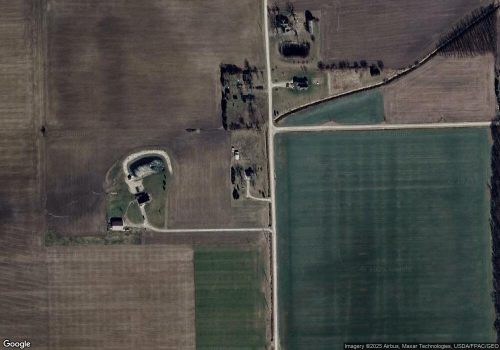
Map
Nearby Homes
- 12214 Us Highway 223
- 13000 Blk E Horton Rd
- 200 BLK Railroad
- 7303 Robinson Rd
- 414 Jipson St
- 100 Railroad St
- 0000 Riga Hwy
- 6626 Robinson Rd
- 219 Cherry St
- 212 White St
- 3473 S Piotter Hwy
- 710 Parkwood Ave
- 405 N Monroe St
- 105 S Monroe St
- 108 S Monroe St
- 6654 Alcott Rd
- 401 W Adrian St
- Integrity 2280 Plan at Kingsberry Court - Integrity
- 209 Kingsberry
- 202 Kingsberry
- 6054 Lipp Hwy Unit LIPP
- 5913 Lipp Hwy Unit BLK
- 5401 Lipp Hwy
- 5975 Lipp Hwy
- 6000 Lipp Hwy Unit BLK
- 6000 Lipp Hwy Unit BLK
- 6070 Lipp Hwy
- 13250 Simpson Rd
- 13456 Simpson Rd
- 6408 Lipp Hwy
- 12851 Lamley Hwy
- 5753 Riga Hwy
- 13090 Carroll Rd
- 12902 Carroll Rd
- 6405 Riga Hwy
- 13910 Simpson Rd
- 12850 Carroll Rd
- 13405 Carroll Rd
- 12803 Carroll Rd
- 12644 Carroll Rd