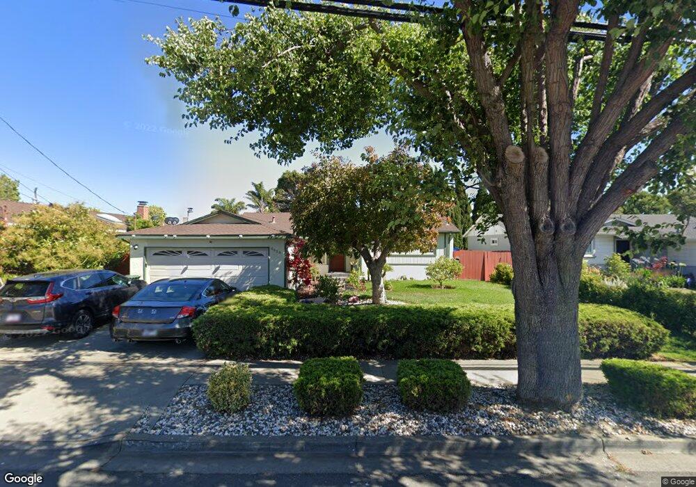
6058 Brittany Ave Newark, CA 94560
Estimated Value: $1,097,242 - $1,499,000
5
Beds
2
Baths
1,508
Sq Ft
$837/Sq Ft
Est. Value
About This Home
This home is located at 6058 Brittany Ave, Newark, CA 94560 and is currently estimated at $1,262,561, approximately $837 per square foot. 6058 Brittany Ave is a home located in Alameda County with nearby schools including Newark Junior High School, Newark Memorial High School, and Montessori School of Newark.
Ownership History
Date
Name
Owned For
Owner Type
Purchase Details
Closed on
Jun 9, 2017
Sold by
Cichocki Zbigniew
Bought by
Cichocki Zbigniew Jerzy and The Zbigniew Jerzy Cichocki Re
Current Estimated Value
Purchase Details
Closed on
Mar 14, 1996
Sold by
Cichocki Ewa
Bought by
Cichocki Zbigniew
Home Financials for this Owner
Home Financials are based on the most recent Mortgage that was taken out on this home.
Original Mortgage
$15,000
Interest Rate
7.05%
Create a Home Valuation Report for This Property
The Home Valuation Report is an in-depth analysis detailing your home's value as well as a comparison with similar homes in the area
Home Values in the Area
Average Home Value in this Area
Purchase History
| Date | Buyer | Sale Price | Title Company |
|---|---|---|---|
| Cichocki Zbigniew Jerzy | -- | None Available | |
| Cichocki Zbigniew | -- | North American Title Co |
Source: Public Records
Mortgage History
| Date | Status | Borrower | Loan Amount |
|---|---|---|---|
| Closed | Cichocki Zbigniew | $15,000 |
Source: Public Records
Tax History Compared to Growth
Tax History
| Year | Tax Paid | Tax Assessment Tax Assessment Total Assessment is a certain percentage of the fair market value that is determined by local assessors to be the total taxable value of land and additions on the property. | Land | Improvement |
|---|---|---|---|---|
| 2025 | $3,796 | $268,952 | $130,219 | $145,733 |
| 2024 | $3,796 | $263,542 | $127,666 | $142,876 |
| 2023 | $3,678 | $265,237 | $125,163 | $140,074 |
| 2022 | $3,610 | $253,037 | $122,709 | $137,328 |
| 2021 | $3,523 | $247,939 | $120,303 | $134,636 |
| 2020 | $3,418 | $252,326 | $119,070 | $133,256 |
| 2019 | $3,372 | $247,378 | $116,735 | $130,643 |
| 2018 | $3,316 | $242,529 | $114,447 | $128,082 |
| 2017 | $3,230 | $237,774 | $112,203 | $125,571 |
| 2016 | $3,184 | $233,112 | $110,003 | $123,109 |
| 2015 | $3,171 | $229,611 | $108,351 | $121,260 |
| 2014 | $3,080 | $225,114 | $106,229 | $118,885 |
Source: Public Records
Map
Nearby Homes
- 36109 Dalewood Dr
- 6025 Radcliffe Ave
- 5879 Caleb Ct
- 35421 Cleremont Dr
- 6831 Cabernet Ave
- 6220 Jarvis Ave
- 6740 Normandy Dr
- 6875 Normandy Dr
- 36184 Toulouse St
- 6234 Zulmida Ave
- 36523 Cherry St
- 6784 Montcalm Ave
- 36593 Leone St
- 5148 Ipswich Ct
- 36466 Haley St
- 5912 Mayhews Landing Rd
- 36535 Mulberry St
- 5139 Dryden Ct
- 36383 Colbert St
- 35605 Scarborough Dr
- 6040 Brittany Ave
- 6074 Brittany Ave
- 6089 Madelaine Dr
- 6095 Madelaine Dr
- 6083 Madelaine Dr
- 6092 Brittany Ave
- 6025 Madelaine Dr
- 6105 Madelaine Dr
- 6037 Brittany Ave
- 6035 Madelaine Dr
- 6065 Brittany Ave
- 6102 Brittany Ave
- 6121 Madelaine Dr
- 6105 Castillon Dr
- 6030 Tourraine Dr
- 6116 Brittany Ave
- 6137 Madelaine Dr
- 6036 Tourraine Dr
- 6090 Madelaine Dr
- 6096 Madelaine Dr