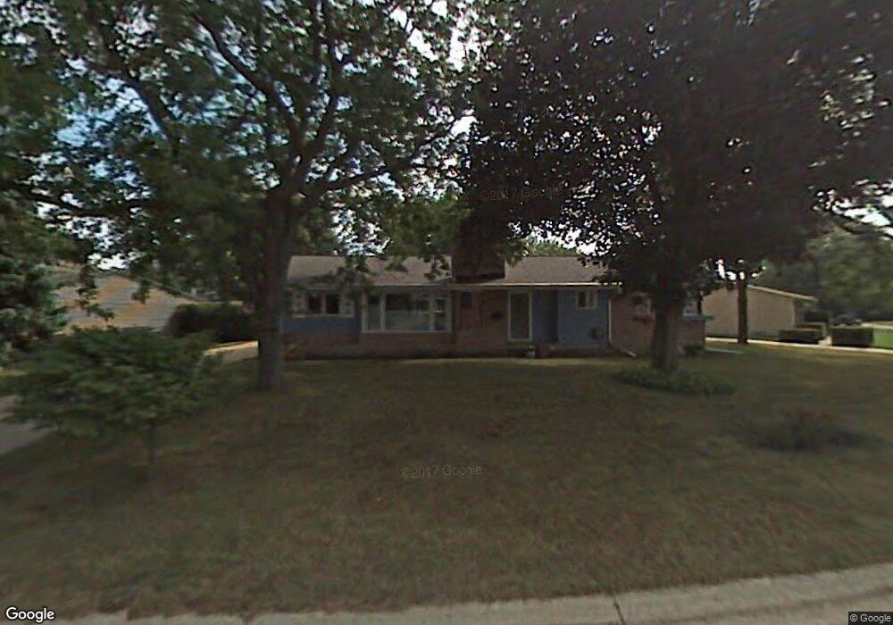
6059 Oriole Ln Greendale, WI 53129
Estimated Value: $355,066 - $399,000
3
Beds
2
Baths
1,644
Sq Ft
$224/Sq Ft
Est. Value
About This Home
This home is located at 6059 Oriole Ln, Greendale, WI 53129 and is currently estimated at $369,017, approximately $224 per square foot. 6059 Oriole Ln is a home located in Milwaukee County with nearby schools including College Park Elementary School, Greendale Middle School, and Greendale High School.
Ownership History
Date
Name
Owned For
Owner Type
Purchase Details
Closed on
Nov 1, 1999
Sold by
Lewandowski Stanley A
Bought by
Lewandowski Ronald and Lewandowski Kathleen M
Current Estimated Value
Home Financials for this Owner
Home Financials are based on the most recent Mortgage that was taken out on this home.
Original Mortgage
$80,000
Outstanding Balance
$24,367
Interest Rate
7.72%
Estimated Equity
$344,650
Purchase Details
Closed on
Aug 6, 1999
Sold by
Lewandowski Geraldine M
Bought by
Lewandowski Stanley A
Create a Home Valuation Report for This Property
The Home Valuation Report is an in-depth analysis detailing your home's value as well as a comparison with similar homes in the area
Home Values in the Area
Average Home Value in this Area
Purchase History
| Date | Buyer | Sale Price | Title Company |
|---|---|---|---|
| Lewandowski Ronald | $100,000 | -- | |
| Lewandowski Stanley A | -- | -- |
Source: Public Records
Mortgage History
| Date | Status | Borrower | Loan Amount |
|---|---|---|---|
| Open | Lewandowski Ronald | $80,000 |
Source: Public Records
Tax History
| Year | Tax Paid | Tax Assessment Tax Assessment Total Assessment is a certain percentage of the fair market value that is determined by local assessors to be the total taxable value of land and additions on the property. | Land | Improvement |
|---|---|---|---|---|
| 2024 | $5,613 | $322,900 | $63,700 | $259,200 |
| 2023 | $5,047 | $272,600 | $63,700 | $208,900 |
| 2022 | $5,093 | $272,600 | $63,700 | $208,900 |
| 2021 | $5,259 | $215,200 | $56,900 | $158,300 |
| 2020 | $5,273 | $215,200 | $56,900 | $158,300 |
| 2019 | $5,246 | $215,200 | $56,900 | $158,300 |
| 2018 | $5,615 | $215,200 | $56,900 | $158,300 |
| 2017 | $4,852 | $197,100 | $54,700 | $142,400 |
| 2016 | $4,814 | $197,100 | $54,700 | $142,400 |
| 2015 | $4,481 | $175,500 | $54,700 | $120,800 |
| 2014 | $4,452 | $175,500 | $54,700 | $120,800 |
| 2013 | $4,524 | $175,500 | $54,700 | $120,800 |
Source: Public Records
Map
Nearby Homes
- 6240 W College Ave
- 6609 Radburn Ln Unit 6609
- 6190 W Loomis Rd
- 5596 Arrowwood St
- 6748 S Yale Dr
- 6125 Middleton Ct S
- 4704 W Xavier Dr
- 4289 W College Ave Unit 4289
- 5732 W Rawson Ave
- 4260 Tumblewood Ln Unit 72
- 5215 Morningside Dr
- 4540 W Melissa Ct
- 4547 W Maplewood Dr Unit 49
- 6958 S Craig Ct
- 7260 S Hillside Dr
- 4300 W Grange Ave Unit 8
- 6100 W Stonehedge Dr Unit 306
- 6100 W Stonehedge Dr Unit 304
- 4007 W Cypress Ln
- 7170 S Countryside Dr
Your Personal Tour Guide
Ask me questions while you tour the home.