Estimated Value: $219,000 - $296,000
--
Bed
--
Bath
--
Sq Ft
56
Acres
About This Home
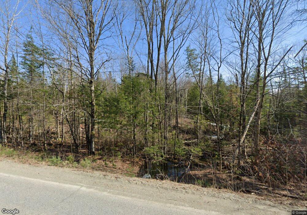
This home is located at 605A S Solon Rd, Solon, ME 04979 and is currently estimated at $260,999. 605A S Solon Rd is a home.
Ownership History
Date
Name
Owned For
Owner Type
Purchase Details
Closed on
Sep 18, 2024
Sold by
Demerchant Logan P and Bristow Amanda
Bought by
Demerchant Logan P
Current Estimated Value
Home Financials for this Owner
Home Financials are based on the most recent Mortgage that was taken out on this home.
Original Mortgage
$343,770
Interest Rate
6.12%
Mortgage Type
Purchase Money Mortgage
Purchase Details
Closed on
Jul 11, 2023
Sold by
Pare Angelea M
Bought by
Demerchant Logan P and Bristow Amanda
Home Financials for this Owner
Home Financials are based on the most recent Mortgage that was taken out on this home.
Original Mortgage
$335,900
Interest Rate
6.79%
Mortgage Type
Purchase Money Mortgage
Create a Home Valuation Report for This Property
The Home Valuation Report is an in-depth analysis detailing your home's value as well as a comparison with similar homes in the area
Home Values in the Area
Average Home Value in this Area
Purchase History
| Date | Buyer | Sale Price | Title Company |
|---|---|---|---|
| Demerchant Logan P | -- | None Available | |
| Demerchant Logan P | -- | None Available | |
| Demerchant Logan P | -- | None Available | |
| Demerchant Logan P | -- | None Available |
Source: Public Records
Mortgage History
| Date | Status | Borrower | Loan Amount |
|---|---|---|---|
| Previous Owner | Demerchant Logan P | $343,770 | |
| Previous Owner | Demerchant Logan P | $335,900 |
Source: Public Records
Tax History Compared to Growth
Tax History
| Year | Tax Paid | Tax Assessment Tax Assessment Total Assessment is a certain percentage of the fair market value that is determined by local assessors to be the total taxable value of land and additions on the property. | Land | Improvement |
|---|---|---|---|---|
| 2024 | $2,919 | $169,720 | $44,720 | $125,000 |
| 2023 | $2,557 | $145,300 | $36,400 | $108,900 |
| 2022 | $2,384 | $143,640 | $34,740 | $108,900 |
| 2021 | $2,546 | $143,030 | $34,130 | $108,900 |
| 2020 | $2,653 | $144,210 | $35,310 | $108,900 |
| 2019 | $2,494 | $129,220 | $30,220 | $99,000 |
| 2018 | $2,430 | $129,970 | $30,970 | $99,000 |
| 2017 | $2,383 | $130,230 | $31,230 | $99,000 |
| 2016 | $2,307 | $129,600 | $30,600 | $99,000 |
Source: Public Records
Map
Nearby Homes
- 395 S Solon Rd
- 914 S South Main St
- 121 Parkman Hill Rd
- 1631 Lakewood Rd
- 24 Fickett Ln
- 1497 B River Rd
- 1397 Lakewood Rd
- 22 Deer Hill Estates
- 327 Kennebec River Rd
- 1313 Beckwith Rd
- M40 L13-6 Mallard Rd
- M40 L13-7 Mallard Rd
- 14 Lower Mills Rd
- 314 S Main St
- 67 Pleasant St
- 12B York St Unit B
- 151 Lower Mills Rd
- 980 E Madison Rd
- 82 E Shore Rd
- M4 L7-4 Lakewood Rd
- 605 S Solon Rd
- 605 S Solon Rd
- 605 S Solon Rd
- 616 S Solon Rd
- Lot 2 S Solon Rd
- 1407 S Solon Rd
- M12 L32-1 S Solon Rd
- 25 Meetinghouse Rd
- 25 Meeting House Rd
- 652 S Solon Rd
- 84 Meeting House Rd
- 99 Meetinghouse Rd
- 141 Meeting House Rd
- 673 Parkman Hill Rd
- 734 S Solon Rd
- 23 Merrill Ln
- 69 Padham Rd
- 643 Parkman Hill Rd
- 51 Padham Rd
- 117 Padham Rd
