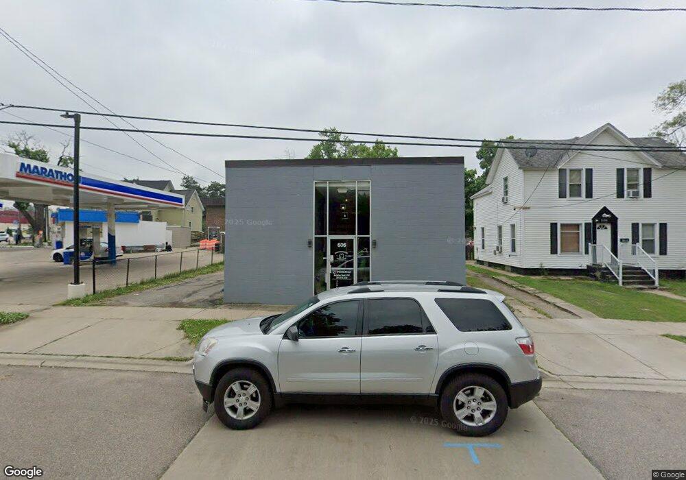
606 Bryant St Kalamazoo, MI 49001
Edison NeighborhoodEstimated Value: $64,814
--
Bed
--
Bath
2,288
Sq Ft
$28/Sq Ft
Est. Value
About This Home
This home is located at 606 Bryant St, Kalamazoo, MI 49001 and is currently estimated at $64,814, approximately $28 per square foot. 606 Bryant St is a home located in Kalamazoo County with nearby schools including Washington Writers' Academy, Milwood Magnet School, and Loy Norrix High School.
Ownership History
Date
Name
Owned For
Owner Type
Purchase Details
Closed on
Feb 24, 2022
Sold by
Neighborhood Realty Group Llc
Bought by
State Wide Rentals Llc
Current Estimated Value
Purchase Details
Closed on
Jun 12, 2020
Sold by
Neighborhood Builders Llc
Bought by
Neighborhood Realty Group Llc
Purchase Details
Closed on
Jun 27, 2019
Sold by
Multhauf Nicholas and Multhauf Katie
Bought by
Neighberhood Builders Llc
Purchase Details
Closed on
Feb 7, 2017
Sold by
Utility Workers Union Of America Local 1
Bought by
Multhauf Nicholas and Multhauf Katie
Purchase Details
Closed on
Feb 7, 2014
Sold by
Utility Workers Union Of America
Bought by
Multhauf Nicholas
Create a Home Valuation Report for This Property
The Home Valuation Report is an in-depth analysis detailing your home's value as well as a comparison with similar homes in the area
Home Values in the Area
Average Home Value in this Area
Purchase History
| Date | Buyer | Sale Price | Title Company |
|---|---|---|---|
| State Wide Rentals Llc | -- | None Listed On Document | |
| Neighborhood Realty Group Llc | -- | None Available | |
| Neighberhood Builders Llc | $35,000 | Devon Title Company | |
| Multhauf Nicholas | $26,000 | Attorney | |
| Multhauf Nicholas | -- | Chicago Title |
Source: Public Records
Tax History Compared to Growth
Tax History
| Year | Tax Paid | Tax Assessment Tax Assessment Total Assessment is a certain percentage of the fair market value that is determined by local assessors to be the total taxable value of land and additions on the property. | Land | Improvement |
|---|---|---|---|---|
| 2025 | $2,861 | $45,600 | $0 | $0 |
| 2024 | $1,186 | $42,700 | $0 | $0 |
| 2023 | $1,130 | $43,700 | $0 | $0 |
| 2022 | $2,595 | $46,400 | $0 | $0 |
| 2021 | $2,510 | $39,600 | $0 | $0 |
| 2020 | $2,462 | $35,800 | $0 | $0 |
| 2019 | $1,935 | $32,400 | $0 | $0 |
| 2018 | $1,891 | $31,600 | $0 | $0 |
| 2017 | $1,729 | $29,500 | $0 | $0 |
| 2016 | $1,729 | $27,400 | $0 | $0 |
| 2015 | $1,729 | $27,100 | $0 | $0 |
| 2014 | $1,729 | $27,100 | $0 | $0 |
Source: Public Records
Map
Nearby Homes
- 1820 Elgin St
- 615 Lay Blvd
- 607 Reed Ave
- 839 Lay Blvd
- 855 Lay Blvd
- 913 Bryant St
- 826 Fulton St
- 739 Egleston Ave
- 2303 Portage St
- 10000 State St Unit Bus & ALL RE
- 1114 Lane Blvd
- 816 E Stockbridge Ave
- 141 Reed Ave
- 117 E Stockbridge Ave
- 1028 Clinton Ave
- 1118 E Alcott St
- 1336 Portage St
- 2120 S Burdick St
- 923 E Stockbridge Ave
- 1850 S Burdick St