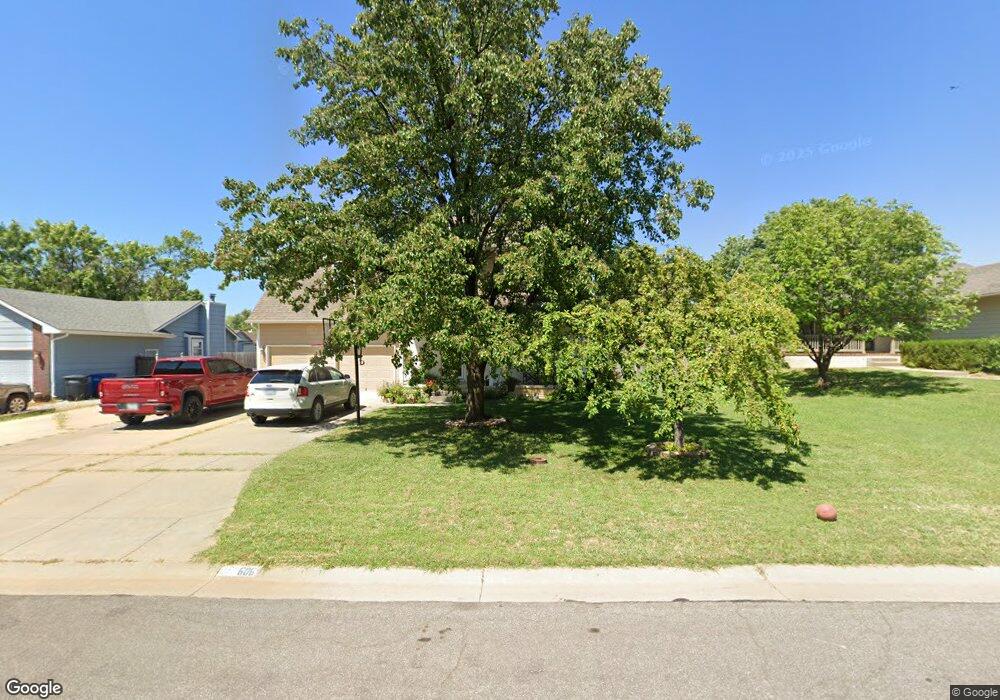
606 Colleen Ave Augusta, KS 67010
Estimated Value: $270,000 - $300,000
4
Beds
4
Baths
2,477
Sq Ft
$114/Sq Ft
Est. Value
About This Home
This home is located at 606 Colleen Ave, Augusta, KS 67010 and is currently estimated at $283,521, approximately $114 per square foot. 606 Colleen Ave is a home located in Butler County with nearby schools including Augusta Senior High School and St. James Catholic School.
Ownership History
Date
Name
Owned For
Owner Type
Purchase Details
Closed on
Nov 6, 2020
Sold by
Bradley Philip O and Bradley Allison N
Bought by
Akers Nathaniel Ray and Akers Shellie Renae
Current Estimated Value
Home Financials for this Owner
Home Financials are based on the most recent Mortgage that was taken out on this home.
Original Mortgage
$171,568
Outstanding Balance
$151,271
Interest Rate
2.8%
Mortgage Type
Balloon
Estimated Equity
$132,250
Create a Home Valuation Report for This Property
The Home Valuation Report is an in-depth analysis detailing your home's value as well as a comparison with similar homes in the area
Home Values in the Area
Average Home Value in this Area
Purchase History
| Date | Buyer | Sale Price | Title Company |
|---|---|---|---|
| Akers Nathaniel Ray | -- | Security 1St Title Llc | |
| Akers Nathaniel Ray | $168,137 | Security First Title | |
| Akers Nathaniel Ray | -- | Security 1St Title |
Source: Public Records
Mortgage History
| Date | Status | Borrower | Loan Amount |
|---|---|---|---|
| Open | Akers Nathaniel Ray | $171,568 | |
| Closed | Akers Nathaniel Ray | $171,568 |
Source: Public Records
Map
Nearby Homes
- 48 Arnold Dr
- 3120 Steven St
- 3100 Country Lane Dr
- 14 Woodland Dr
- 3005 Stone Lake Dr
- 9 Flanigan Ct
- 5 Taylor Ct
- 2825 N Rutland Ln
- 2822 N Rutland Ln
- 2813 N Rutland Ln
- 0 N Ohio Unit SCK649107
- 2823 N Rutland Ln
- 2814 N Rutland Ln
- 2809 N Rutland Ln
- 1032 E Stafford Ct
- 2701 N Mainsgate Dr
- 2512 Mainsgate Dr
- 1027 Pembroke Rd
- 0 Ohio St
- 2203 Moyle St
Your Personal Tour Guide
Ask me questions while you tour the home.