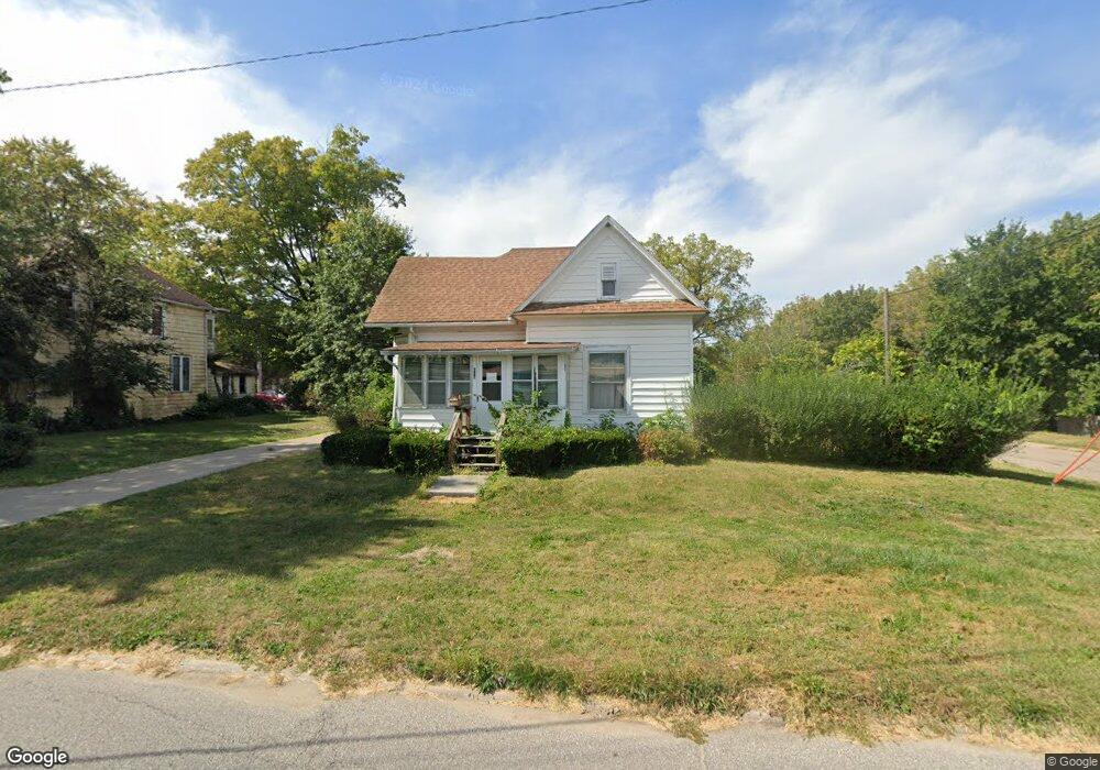
606 N B St Fairfield, IA 52556
Estimated Value: $113,000 - $139,000
--
Bed
--
Bath
1,152
Sq Ft
$110/Sq Ft
Est. Value
About This Home
This home is located at 606 N B St, Fairfield, IA 52556 and is currently estimated at $127,137, approximately $110 per square foot. 606 N B St is a home located in Jefferson County with nearby schools including Fairfield High School, Maharishi School, and Cornerstone Primary School.
Ownership History
Date
Name
Owned For
Owner Type
Purchase Details
Closed on
Dec 22, 2021
Sold by
Myrna B Owens Revocable Trust
Bought by
Thacker Mitchell W
Current Estimated Value
Home Financials for this Owner
Home Financials are based on the most recent Mortgage that was taken out on this home.
Original Mortgage
$85,500
Outstanding Balance
$78,659
Interest Rate
3.13%
Mortgage Type
New Conventional
Estimated Equity
$48,478
Create a Home Valuation Report for This Property
The Home Valuation Report is an in-depth analysis detailing your home's value as well as a comparison with similar homes in the area
Home Values in the Area
Average Home Value in this Area
Purchase History
| Date | Buyer | Sale Price | Title Company |
|---|---|---|---|
| Thacker Mitchell W | $95,000 | None Listed On Document |
Source: Public Records
Mortgage History
| Date | Status | Borrower | Loan Amount |
|---|---|---|---|
| Open | Thacker Mitchell W | $85,500 | |
| Closed | Thacker Mitchell W | $9,500 |
Source: Public Records
Tax History Compared to Growth
Tax History
| Year | Tax Paid | Tax Assessment Tax Assessment Total Assessment is a certain percentage of the fair market value that is determined by local assessors to be the total taxable value of land and additions on the property. | Land | Improvement |
|---|---|---|---|---|
| 2025 | $1,606 | $108,100 | $13,500 | $94,600 |
| 2024 | $1,606 | $93,400 | $13,500 | $79,900 |
| 2023 | $1,528 | $93,400 | $13,500 | $79,900 |
| 2022 | $1,408 | $78,400 | $13,500 | $64,900 |
| 2021 | $1,408 | $78,400 | $13,500 | $64,900 |
| 2020 | $1,396 | $75,300 | $13,500 | $61,800 |
| 2019 | $1,582 | $78,500 | $0 | $0 |
| 2018 | $1,512 | $78,500 | $0 | $0 |
| 2017 | $1,512 | $90,100 | $0 | $0 |
| 2016 | $1,790 | $90,100 | $0 | $0 |
| 2015 | $1,424 | $71,600 | $0 | $0 |
| 2014 | $1,424 | $71,600 | $0 | $0 |
| 2013 | $1,420 | $0 | $0 | $0 |
Source: Public Records
Map
Nearby Homes
- 201 E Kirkwood Ave
- 702 N B St
- 304 E Kirkwood Ave
- 309 E Kirkwood Ave
- 605 N 2nd St
- 408 N D St
- 701 E Lowe Ave Unit 211
- 302 W Stone Ave
- 303 & 305 W Kirkwood Ave
- 51 E Broadway Ave Unit 302
- 51 E Broadway Ave Unit 205
- 51 E Broadway Ave Unit 303
- 51 E Broadway Ave Unit 204
- 51 E Broadway Ave Unit 203
- 51 E Broadway Ave Unit 202
- 51 E Broadway Ave Unit 201
- 51 E Broadway Ave Unit 102
- 51 E Broadway Ave Unit 101
- 401 E Broadway Ave
- 503 W Carpenter Ave
- 604 N B St
- 607 N Court St
- 605 N Court St
- 103 E Stone Ave
- 107 E Kirkwood Ave
- 700 N B St
- 109 E Kirkwood Ave
- 204 E Stone Ave
- 105 E Kirkwood Ave
- 701 N Court St
- 603 N Court St
- 605 N B St
- 601 N Court St
- 700 N Court St
- 703 N Court St
- 203 E Kirkwood Ave
- 606 N Court St
- 602 N Court St
- 106B E Kirkwood Ave
- 608 N Court St