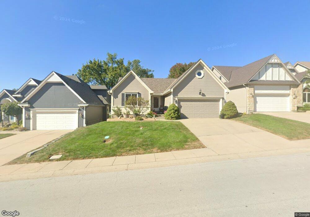
606 NE Saint Andrews Cir Lees Summit, MO 64064
Chapel Ridge NeighborhoodEstimated Value: $377,492 - $489,000
3
Beds
3
Baths
1,506
Sq Ft
$280/Sq Ft
Est. Value
About This Home
This home is located at 606 NE Saint Andrews Cir, Lees Summit, MO 64064 and is currently estimated at $421,373, approximately $279 per square foot. 606 NE Saint Andrews Cir is a home located in Jackson County with nearby schools including Chapel Lakes Elementary School, Delta Woods Middle School, and Blue Springs South High School.
Ownership History
Date
Name
Owned For
Owner Type
Purchase Details
Closed on
Jul 14, 2000
Sold by
Bunyar Marjorie A and Mcclain Mitchell
Bought by
Wand Marilyn S
Current Estimated Value
Purchase Details
Closed on
Oct 29, 1998
Sold by
Denton Joyce A and Denton Joyce A
Bought by
Bunyar Marjorie A and Mcclain Mitchell
Home Financials for this Owner
Home Financials are based on the most recent Mortgage that was taken out on this home.
Original Mortgage
$151,500
Interest Rate
6.61%
Mortgage Type
Purchase Money Mortgage
Create a Home Valuation Report for This Property
The Home Valuation Report is an in-depth analysis detailing your home's value as well as a comparison with similar homes in the area
Home Values in the Area
Average Home Value in this Area
Purchase History
| Date | Buyer | Sale Price | Title Company |
|---|---|---|---|
| Wand Marilyn S | -- | Stewart Title | |
| Bunyar Marjorie A | -- | -- |
Source: Public Records
Mortgage History
| Date | Status | Borrower | Loan Amount |
|---|---|---|---|
| Previous Owner | Bunyar Marjorie A | $151,500 |
Source: Public Records
Tax History Compared to Growth
Tax History
| Year | Tax Paid | Tax Assessment Tax Assessment Total Assessment is a certain percentage of the fair market value that is determined by local assessors to be the total taxable value of land and additions on the property. | Land | Improvement |
|---|---|---|---|---|
| 2025 | $4,307 | $60,101 | $9,793 | $50,308 |
| 2024 | $4,230 | $56,240 | $7,104 | $49,136 |
| 2023 | $4,230 | $56,241 | $8,560 | $47,681 |
| 2022 | $4,566 | $53,770 | $6,681 | $47,089 |
| 2021 | $4,562 | $53,770 | $6,681 | $47,089 |
| 2020 | $4,199 | $48,949 | $6,681 | $42,268 |
| 2019 | $4,070 | $48,949 | $6,681 | $42,268 |
| 2018 | $3,652 | $42,602 | $5,815 | $36,787 |
| 2017 | $3,652 | $42,602 | $5,815 | $36,787 |
| 2016 | $3,549 | $41,534 | $5,548 | $35,986 |
| 2014 | $3,619 | $42,091 | $5,189 | $36,902 |
Source: Public Records
Map
Nearby Homes
- 622 NE Fairington Ct
- 633 NE St Andrews Cir
- 425 NE Saint Andrews Cir
- 801 NE Fairway Homes Ct
- 5136 NE Ash Grove Dr
- 5416 NE Northgate Crossing
- 708 NE Lake Pointe Dr
- 5420 NE Rainbow Ct
- 637 NE Shoreline Dr
- 4517 NE Fairway Homes Dr
- 1108 NE Goshen Ct
- 5605 NE Coral Dr
- 5704 NE Pearl Ct
- 4605 NE Dick Howser Cir
- 917 NE Kenwood Dr
- 5816 NE Diamond Ct
- 4600 NE Kingston Dr
- 4524 NE Kingston Dr
- 5605 NE Misty Meadow Place
- 5808 NE Coral Dr
- 608 NE Saint Andrews Cir
- 604 NE Saint Andrews Cir
- 608 NE St Andrews Cir
- 602 NE St Andrews Cir
- 610 NE Saint Andrews Cir
- 602 NE Saint Andrews Cir
- 610 NE St Andrews Cir
- 600 NE Saint Andrews Cir
- 607 NE Saint Andrews Cir
- 605 NE Saint Andrews Cir
- 616 NE Fairington Ct
- 609 NE Saint Andrews Cir
- 603 NE Saint Andrews Cir
- 614 NE Fairington Ct
- 611 NE Saint Andrews Cir
- 601 NE St Andrews Cir
- 601 NE Saint Andrews Cir
- 613 NE Saint Andrews Cir
- 618 NE Fairington Ct
- 613 NE St Andrews Cir