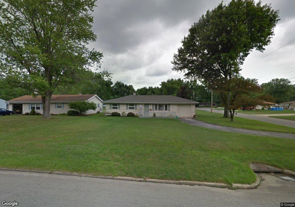
606 Pierce Dr Youngstown, OH 44511
Estimated Value: $132,669 - $171,000
3
Beds
1
Bath
1,164
Sq Ft
$134/Sq Ft
Est. Value
About This Home
This home is located at 606 Pierce Dr, Youngstown, OH 44511 and is currently estimated at $156,167, approximately $134 per square foot. 606 Pierce Dr is a home located in Mahoning County with nearby schools including West Boulevard Elementary School, Boardman Center Middle School, and Boardman High School.
Ownership History
Date
Name
Owned For
Owner Type
Purchase Details
Closed on
Aug 1, 1994
Sold by
Palmer Rose
Bought by
Barko Elizabeth J
Current Estimated Value
Home Financials for this Owner
Home Financials are based on the most recent Mortgage that was taken out on this home.
Original Mortgage
$43,600
Interest Rate
6.87%
Mortgage Type
New Conventional
Purchase Details
Closed on
Aug 31, 1992
Bought by
Palmer Rose
Create a Home Valuation Report for This Property
The Home Valuation Report is an in-depth analysis detailing your home's value as well as a comparison with similar homes in the area
Home Values in the Area
Average Home Value in this Area
Purchase History
| Date | Buyer | Sale Price | Title Company |
|---|---|---|---|
| Barko Elizabeth J | $54,500 | -- | |
| Palmer Rose | $47,500 | -- |
Source: Public Records
Mortgage History
| Date | Status | Borrower | Loan Amount |
|---|---|---|---|
| Closed | Barko Elizabeth J | $43,600 |
Source: Public Records
Tax History Compared to Growth
Tax History
| Year | Tax Paid | Tax Assessment Tax Assessment Total Assessment is a certain percentage of the fair market value that is determined by local assessors to be the total taxable value of land and additions on the property. | Land | Improvement |
|---|---|---|---|---|
| 2024 | $1,321 | $34,250 | $5,900 | $28,350 |
| 2023 | $1,336 | $34,250 | $5,900 | $28,350 |
| 2022 | $1,055 | $23,590 | $6,140 | $17,450 |
| 2021 | $1,620 | $23,590 | $6,140 | $17,450 |
| 2020 | $1,628 | $23,590 | $6,140 | $17,450 |
| 2019 | $1,497 | $18,150 | $4,720 | $13,430 |
| 2018 | $1,285 | $18,150 | $4,720 | $13,430 |
| 2017 | $882 | $18,150 | $4,720 | $13,430 |
| 2016 | $1,313 | $19,570 | $4,720 | $14,850 |
| 2015 | $1,288 | $19,570 | $4,720 | $14,850 |
| 2014 | $1,291 | $19,570 | $4,720 | $14,850 |
| 2013 | $1,275 | $19,570 | $4,720 | $14,850 |
Source: Public Records
Map
Nearby Homes
- 950 Donmar Ln
- 990 Westport Dr
- 3927 Hopkins Rd
- 29 Gillian Ln
- 4042 Baymar Dr
- 3504 Stratmore Ave
- 2981 Louise Rita Ct
- 2002 Canfield Rd
- 4096 Bob o Link Dr
- 2127 Hermosa Dr
- 2866 Peacock Dr
- 3873 Whippoorwill Ln
- 537 W Glen Dr
- 1272 Valley View Dr
- 138 Robinhood Way
- 3296 Cricket Dr
- 4478 Devonshire Dr Unit 1B
- 3282 Bears Den Rd
- 5200 West Blvd Unit 505
- 1342 Shields Rd