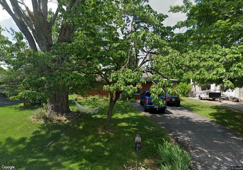
606 Riverside Dr Unit 606 Manchester, TN 37355
Estimated Value: $170,000 - $224,000
--
Bed
1
Bath
1,292
Sq Ft
$147/Sq Ft
Est. Value
About This Home
This home is located at 606 Riverside Dr Unit 606, Manchester, TN 37355 and is currently estimated at $189,491, approximately $146 per square foot. 606 Riverside Dr Unit 606 is a home located in Coffee County with nearby schools including Westwood Middle School and Temple Baptist Christian School.
Ownership History
Date
Name
Owned For
Owner Type
Purchase Details
Closed on
Aug 11, 2021
Sold by
Reed Joyce
Bought by
Mullins David and Mullins Tracy
Current Estimated Value
Purchase Details
Closed on
Aug 26, 1999
Sold by
Long Kari Lee
Bought by
Reed Bobby and Reed Joyce
Purchase Details
Closed on
Sep 2, 1998
Sold by
Long James Albert
Bought by
Long Kari Lee
Purchase Details
Closed on
Jan 31, 1992
Bought by
Long James Albert and Long Kari Lee
Create a Home Valuation Report for This Property
The Home Valuation Report is an in-depth analysis detailing your home's value as well as a comparison with similar homes in the area
Home Values in the Area
Average Home Value in this Area
Purchase History
| Date | Buyer | Sale Price | Title Company |
|---|---|---|---|
| Mullins David | $110,000 | None Available | |
| Reed Bobby | $50,500 | -- | |
| Long Kari Lee | -- | -- | |
| Long James Albert | $30,000 | -- |
Source: Public Records
Tax History Compared to Growth
Tax History
| Year | Tax Paid | Tax Assessment Tax Assessment Total Assessment is a certain percentage of the fair market value that is determined by local assessors to be the total taxable value of land and additions on the property. | Land | Improvement |
|---|---|---|---|---|
| 2024 | $870 | $20,625 | $2,700 | $17,925 |
| 2023 | $870 | $20,625 | $0 | $0 |
| 2022 | $749 | $20,625 | $2,700 | $17,925 |
| 2021 | $732 | $16,225 | $2,250 | $13,975 |
| 2020 | $732 | $16,225 | $2,250 | $13,975 |
| 2019 | $732 | $16,225 | $2,250 | $13,975 |
| 2018 | $732 | $16,225 | $2,250 | $13,975 |
| 2017 | $769 | $15,200 | $2,250 | $12,950 |
| 2016 | $769 | $15,200 | $2,250 | $12,950 |
| 2015 | $797 | $15,200 | $2,250 | $12,950 |
| 2014 | $785 | $14,969 | $0 | $0 |
Source: Public Records
Map
Nearby Homes
- 440 Woodrow St
- 608 Oakdale St
- 800 Wood St
- 612 Maple St
- 512 W High St
- 711 S Spring St
- 434 S Ramsey St
- 400 S Ramsey St
- 309 Westwood Dr
- 709 Mill St
- 902 Mcarthur St
- 116 Ingram St
- 1980 Cat Creek Rd
- 210 Rigney Dr
- 475 Country Club Dr
- 550 Laurel Crown Rd
- 0 Lowry St
- 461 Hendrixson Dr
- 1005 Thoma St
- 1005 Keylon St
- 608 Riverside Dr
- 277 Stone Hollow Dr
- 600 Riverside Dr
- 607 Riverside Dr
- 609 Riverside Dr
- 612 Riverside Dr
- 291 Stone Hollow Dr
- 508 Riverside Dr
- 502 Casey St
- 611 Riverside Dr
- 131 Stone Hollow Dr
- 614 Riverside Dr
- 506 Riverside Dr
- 613 Riverside Dr
- 504 Casey St
- 301 Stone Hollow Dr
- 111 Stone Hollow Dr
- 280 280 Stone Hollow Dr
- 616 Riverside Dr
- 504 Riverside Dr