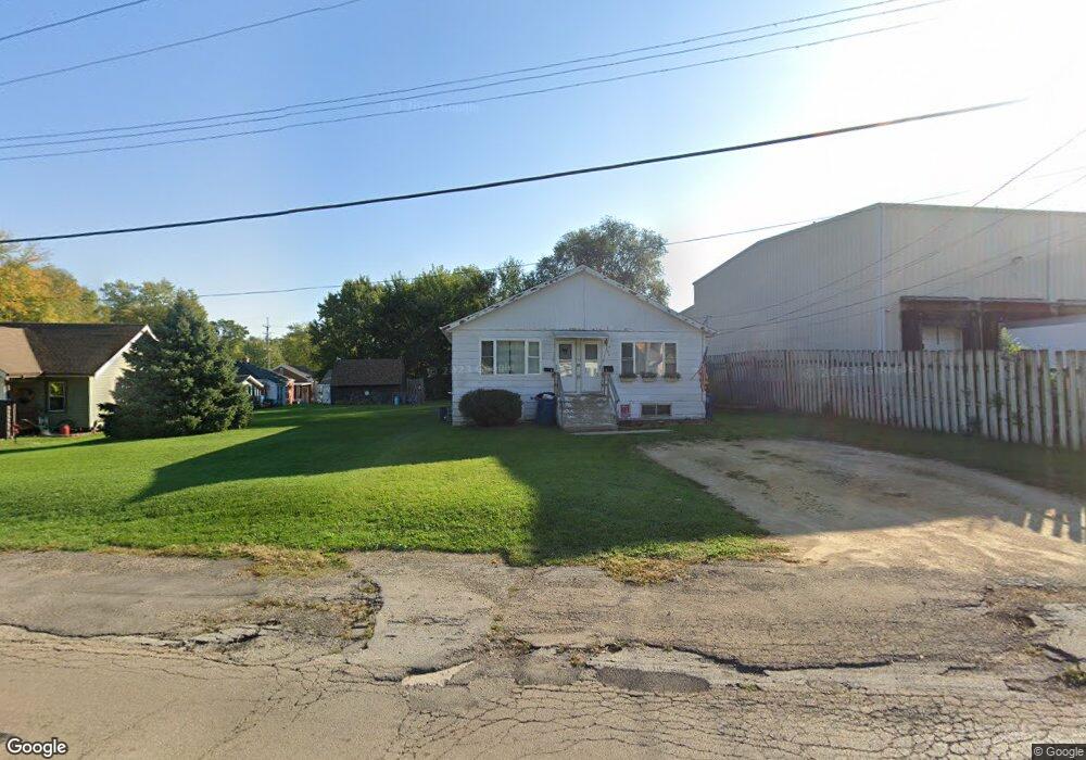
606 S Lincoln Ave Dixon, IL 61021
South Dixon NeighborhoodEstimated Value: $74,000 - $79,575
--
Bed
--
Bath
1,453
Sq Ft
$53/Sq Ft
Est. Value
About This Home
This home is located at 606 S Lincoln Ave, Dixon, IL 61021 and is currently estimated at $76,394, approximately $52 per square foot. 606 S Lincoln Ave is a home located in Lee County with nearby schools including Washington Elementary School, Madison Elementary School, and Jefferson Elementary School.
Ownership History
Date
Name
Owned For
Owner Type
Purchase Details
Closed on
Nov 17, 2022
Sold by
Murphy Trust
Bought by
Kuster Nathan and Kuster Amber
Current Estimated Value
Home Financials for this Owner
Home Financials are based on the most recent Mortgage that was taken out on this home.
Original Mortgage
$41,250
Outstanding Balance
$39,969
Interest Rate
6.94%
Mortgage Type
New Conventional
Estimated Equity
$36,425
Purchase Details
Closed on
Jun 26, 2018
Sold by
Connors Maggie and Connors Martin
Bought by
Murphy Trust
Create a Home Valuation Report for This Property
The Home Valuation Report is an in-depth analysis detailing your home's value as well as a comparison with similar homes in the area
Home Values in the Area
Average Home Value in this Area
Purchase History
| Date | Buyer | Sale Price | Title Company |
|---|---|---|---|
| Kuster Nathan | $55,000 | Kl | |
| Murphy Trust | $44,000 | None Available |
Source: Public Records
Mortgage History
| Date | Status | Borrower | Loan Amount |
|---|---|---|---|
| Open | Kuster Nathan | $41,250 |
Source: Public Records
Tax History Compared to Growth
Tax History
| Year | Tax Paid | Tax Assessment Tax Assessment Total Assessment is a certain percentage of the fair market value that is determined by local assessors to be the total taxable value of land and additions on the property. | Land | Improvement |
|---|---|---|---|---|
| 2024 | $1,825 | $19,919 | $2,934 | $16,985 |
| 2023 | $1,698 | $18,275 | $2,692 | $15,583 |
| 2022 | $1,574 | $16,464 | $2,425 | $14,039 |
| 2021 | $1,472 | $15,244 | $2,245 | $12,999 |
| 2020 | $1,417 | $14,518 | $2,138 | $12,380 |
| 2019 | $1,384 | $14,095 | $2,076 | $12,019 |
| 2018 | $1,331 | $13,818 | $2,035 | $11,783 |
| 2017 | $1,278 | $13,287 | $1,957 | $11,330 |
| 2016 | $1,247 | $12,900 | $1,900 | $11,000 |
| 2015 | $1,196 | $12,900 | $1,900 | $11,000 |
| 2014 | $1,647 | $18,079 | $1,919 | $16,160 |
| 2013 | $1,783 | $20,000 | $2,000 | $18,000 |
Source: Public Records
Map
Nearby Homes
- 1213 W 4th St
- 1510 W 2nd St
- 1611 W 3rd St
- 913 W 4th St
- 1603 Riverside Cir
- 1613 Riverside Cir
- 719 W 2nd St
- 1902 W 1st St
- 506 Eells Ave
- 802 S Peoria Ave
- 522 S Hennepin Ave
- Lot 7 Straw Ln
- Lot 8 Creek Ridge Dr
- tbd E Corporate Dr and Bloody Gulch Rd
- Lot 9 Creek Ridge Dr
- Lot 13 Creek Ridge Dr
- 321 S Ottawa Ave
- 69 S Ottawa Ave
- 080940015 Bloody Gulch Rd
- 712 S Ottawa Ave
- 602 S Lincoln Ave
- 607 S Lincoln Ave
- 601 S Lincoln Ave
- 1320 W 6th St
- 615 S Lincoln Ave
- 619 S Lincoln Ave
- 1316 W 6th St
- 611 S Lincoln Ave
- 532 S Lincoln Ave
- 623 S Lincoln Ave
- 1312 W 6th St
- 528 S Lincoln Ave
- 1317 W 6th St
- 1308 W 6th St
- 1314 W 7th St
- 606 Douglas Ave
- 627 S Lincoln Ave
- 610 Douglas Ave
- 1315 W 6th St
- 1318 W 7th St