Estimated Value: $162,000 - $237,000
3
Beds
2
Baths
1,689
Sq Ft
$123/Sq Ft
Est. Value
About This Home
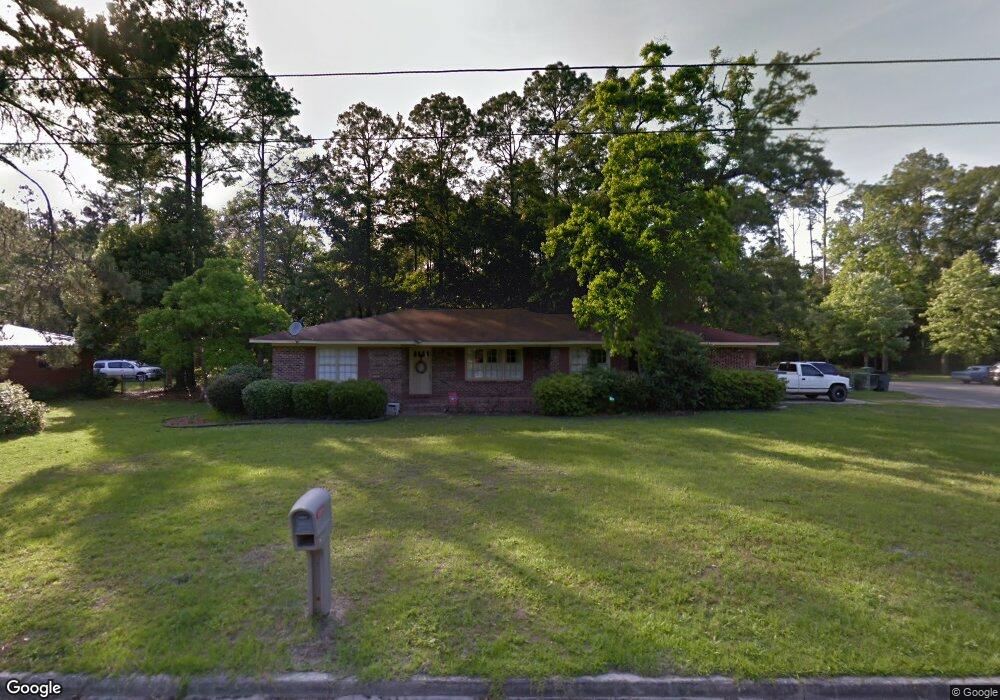
This home is located at 606 S Wayne St, Jesup, GA 31546 and is currently estimated at $207,415, approximately $122 per square foot. 606 S Wayne St is a home located in Wayne County with nearby schools including Martha Rawls Smith Elementary School, Arthur Williams Middle School, and Wayne County High School.
Ownership History
Date
Name
Owned For
Owner Type
Purchase Details
Closed on
May 6, 2016
Sold by
Federal National Mortgage Association
Bought by
Landon Mary Ann
Current Estimated Value
Purchase Details
Closed on
Jan 5, 2016
Sold by
Community Trust Bank
Bought by
Federal National Mtg Associati
Purchase Details
Closed on
Sep 26, 2007
Sold by
Chan Peter
Bought by
Powell Jeffrey L and Powell Cynthia R
Home Financials for this Owner
Home Financials are based on the most recent Mortgage that was taken out on this home.
Original Mortgage
$104,500
Interest Rate
6.41%
Mortgage Type
New Conventional
Purchase Details
Closed on
May 1, 2004
Bought by
Powell Cynthia R and Powell Jeffrey L
Create a Home Valuation Report for This Property
The Home Valuation Report is an in-depth analysis detailing your home's value as well as a comparison with similar homes in the area
Purchase History
| Date | Buyer | Sale Price | Title Company |
|---|---|---|---|
| Landon Mary Ann | $75,000 | -- | |
| Federal National Mtg Associati | -- | -- | |
| Community Trust Bank | $64,800 | -- | |
| Powell Jeffrey L | $110,000 | -- | |
| Powell Cynthia R | $91,000 | -- |
Source: Public Records
Mortgage History
| Date | Status | Borrower | Loan Amount |
|---|---|---|---|
| Previous Owner | Powell Jeffrey L | $104,500 |
Source: Public Records
Tax History
| Year | Tax Paid | Tax Assessment Tax Assessment Total Assessment is a certain percentage of the fair market value that is determined by local assessors to be the total taxable value of land and additions on the property. | Land | Improvement |
|---|---|---|---|---|
| 2025 | $2,202 | $74,369 | $4,125 | $70,244 |
| 2024 | $2,202 | $72,016 | $4,125 | $67,891 |
| 2023 | $1,866 | $63,554 | $4,066 | $59,488 |
| 2022 | $1,630 | $51,789 | $4,066 | $47,723 |
| 2021 | $1,293 | $38,343 | $4,066 | $34,277 |
| 2020 | $1,338 | $38,343 | $4,066 | $34,277 |
| 2019 | $1,377 | $38,343 | $4,066 | $34,277 |
| 2018 | $1,377 | $38,343 | $4,066 | $34,277 |
| 2017 | $928 | $38,343 | $4,066 | $34,277 |
| 2016 | $998 | $38,343 | $4,066 | $34,277 |
| 2014 | $1,149 | $43,284 | $4,066 | $39,218 |
| 2013 | -- | $43,283 | $4,066 | $39,217 |
Source: Public Records
Map
Nearby Homes
- 618 S Wayne St
- 586 S Wayne St
- 611 S Wayne St
- 556 S Wayne St
- 624 S Wayne St
- 561 S Wayne St
- 621 S Wayne St
- 551 S Brunswick St
- 632 S Wayne St
- S S Brunswick St
- 545 S Brunswick St
- 612 S Elm St
- 612 S Elm St
- 286 E Magnolia St
- 637 S Wayne St
- 312 E Magnolia St
- 624 S Elm St
- 596 S Elm St
- 224 E Magnolia St
- 224 E Magnolia St
Your Personal Tour Guide
Ask me questions while you tour the home.