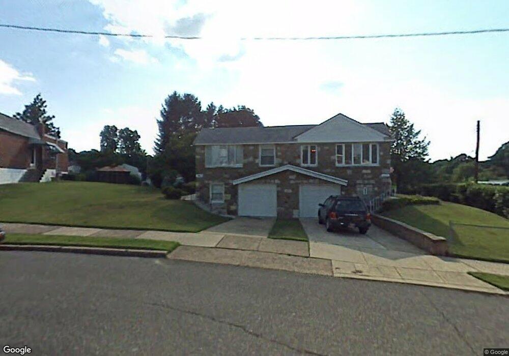
606 Sherrie Rd Philadelphia, PA 19115
Bustleton NeighborhoodEstimated Value: $278,000 - $315,184
2
Beds
1
Bath
840
Sq Ft
$346/Sq Ft
Est. Value
About This Home
This home is located at 606 Sherrie Rd, Philadelphia, PA 19115 and is currently estimated at $290,546, approximately $345 per square foot. 606 Sherrie Rd is a home located in Philadelphia County with nearby schools including Greenberg Joseph School, George Washington High School, and Maternity Bvm School.
Ownership History
Date
Name
Owned For
Owner Type
Purchase Details
Closed on
Apr 25, 2025
Sold by
Kilgannon Mabel and Kilgannon Joan
Bought by
Olah Sean Michael
Current Estimated Value
Home Financials for this Owner
Home Financials are based on the most recent Mortgage that was taken out on this home.
Original Mortgage
$285,000
Outstanding Balance
$283,478
Interest Rate
6.65%
Mortgage Type
VA
Estimated Equity
$7,068
Create a Home Valuation Report for This Property
The Home Valuation Report is an in-depth analysis detailing your home's value as well as a comparison with similar homes in the area
Home Values in the Area
Average Home Value in this Area
Purchase History
| Date | Buyer | Sale Price | Title Company |
|---|---|---|---|
| Olah Sean Michael | $285,000 | None Listed On Document |
Source: Public Records
Mortgage History
| Date | Status | Borrower | Loan Amount |
|---|---|---|---|
| Open | Olah Sean Michael | $285,000 |
Source: Public Records
Tax History Compared to Growth
Tax History
| Year | Tax Paid | Tax Assessment Tax Assessment Total Assessment is a certain percentage of the fair market value that is determined by local assessors to be the total taxable value of land and additions on the property. | Land | Improvement |
|---|---|---|---|---|
| 2026 | $3,273 | $303,900 | $60,780 | $243,120 |
| 2025 | $3,273 | $303,900 | $60,780 | $243,120 |
| 2024 | $3,273 | $303,900 | $60,780 | $243,120 |
| 2023 | $3,273 | $233,800 | $46,760 | $187,040 |
| 2022 | $1,499 | $188,800 | $46,760 | $142,040 |
| 2021 | $3,148 | $0 | $0 | $0 |
| 2020 | $3,148 | $0 | $0 | $0 |
| 2019 | $2,965 | $0 | $0 | $0 |
| 2018 | $2,699 | $0 | $0 | $0 |
| 2017 | $2,699 | $0 | $0 | $0 |
| 2016 | $1,499 | $0 | $0 | $0 |
| 2015 | $18,838 | $0 | $0 | $0 |
| 2014 | -- | $192,800 | $70,452 | $122,348 |
| 2012 | -- | $22,720 | $5,357 | $17,363 |
Source: Public Records
Map
Nearby Homes
- 727 Sherrie Rd
- 637 Charette Rd
- 9124 Springview Rd
- 8912 Springview Rd
- 8905 Springview Rd
- 9231 Grace Ln
- 134 Alburger Ave
- 717 Stelwood Rd
- 1060 Welsh Rd
- 123 Pocasset Rd
- 132 Greycourt Rd
- 116 Delia Ln
- 1029 Grant Ave
- 730 Millwood Rd
- 1020 Grant Ave
- 9314 Trout Rd
- 9346 Rising Sun Ave
- 9810 Bridle Rd
- 9812 Ferndale St
- 1861 Lippincott Rd
- 608 Sherrie Rd
- 604 Sherrie Rd
- 610 Sherrie Rd
- 608 Alburger Ave
- 610 Alburger Ave
- 9065 Springview Rd
- 9067 Springview Rd
- 606 Alburger Ave
- 605 Sherrie Rd
- 612 Sherrie Rd
- 713 Charette Rd
- 604 Alburger Ave
- 711 Charette Rd
- 715 Charette Rd
- 607 Sherrie Rd
- 602 Alburger Ave
- 612 Alburger Ave
- 614 Sherrie Rd
- 609 Sherrie Rd
- 600 Alburger Ave