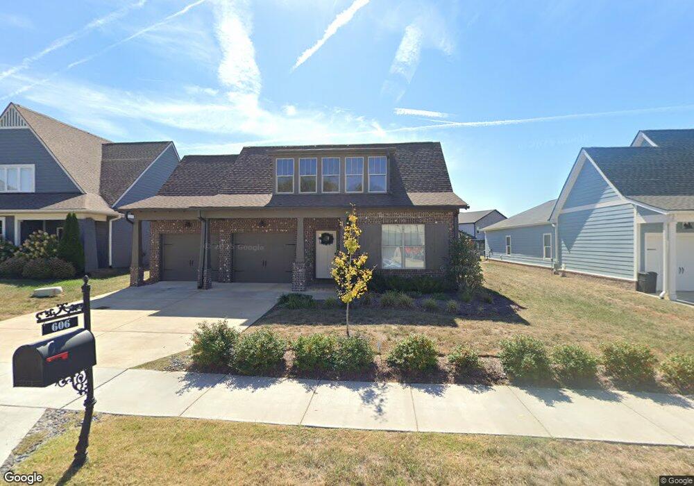
606 Sire Ave Unit 125 Mount Juliet, TN 37122
Estimated Value: $590,477 - $605,000
3
Beds
2
Baths
2,123
Sq Ft
$281/Sq Ft
Est. Value
About This Home
This home is located at 606 Sire Ave Unit 125, Mount Juliet, TN 37122 and is currently estimated at $596,619, approximately $281 per square foot. 606 Sire Ave Unit 125 is a home located in Wilson County with nearby schools including Stoner Creek Elementary School, West Wilson Middle School, and Mt. Juliet High School.
Ownership History
Date
Name
Owned For
Owner Type
Purchase Details
Closed on
Aug 10, 2017
Sold by
Jackson Hills Partners Llc
Bought by
Hunnicutt Kirk E
Current Estimated Value
Home Financials for this Owner
Home Financials are based on the most recent Mortgage that was taken out on this home.
Original Mortgage
$280,191
Outstanding Balance
$233,291
Interest Rate
3.88%
Mortgage Type
New Conventional
Estimated Equity
$363,328
Purchase Details
Closed on
Jan 24, 2017
Sold by
Propst Realty Nashville Llc
Bought by
Jackson Hills Partners Llc
Purchase Details
Closed on
Feb 12, 2015
Sold by
Propst Realty Nashville Llc
Bought by
Propst Realty Nashville Llc
Create a Home Valuation Report for This Property
The Home Valuation Report is an in-depth analysis detailing your home's value as well as a comparison with similar homes in the area
Home Values in the Area
Average Home Value in this Area
Purchase History
| Date | Buyer | Sale Price | Title Company |
|---|---|---|---|
| Hunnicutt Kirk E | $311,504 | Four Star Title Llc | |
| Jackson Hills Partners Llc | $463,000 | -- | |
| Propst Realty Nashville Llc | $7,100,000 | -- |
Source: Public Records
Mortgage History
| Date | Status | Borrower | Loan Amount |
|---|---|---|---|
| Open | Hunnicutt Kirk E | $280,191 |
Source: Public Records
Tax History Compared to Growth
Tax History
| Year | Tax Paid | Tax Assessment Tax Assessment Total Assessment is a certain percentage of the fair market value that is determined by local assessors to be the total taxable value of land and additions on the property. | Land | Improvement |
|---|---|---|---|---|
| 2024 | $1,814 | $95,025 | $20,000 | $75,025 |
| 2022 | $1,814 | $95,025 | $20,000 | $75,025 |
| 2021 | $1,918 | $95,025 | $20,000 | $75,025 |
| 2020 | $2,082 | $95,025 | $20,000 | $75,025 |
| 2019 | $256 | $77,550 | $16,250 | $61,300 |
| 2018 | $2,051 | $77,075 | $16,250 | $60,825 |
| 2017 | $1,201 | $76,375 | $16,250 | $60,125 |
| 2016 | $508 | $16,250 | $16,250 | $0 |
Source: Public Records
Map
Nearby Homes
- 27 Yearling Way
- 243 Croft Way
- 247 Croft Way
- 701 Plowson Rd
- 270 Croft Way
- 2011 Stonebrook Cir
- 1050 Stonehollow Way
- 4015 Sleepyhollow Way
- 3016 Clyde Cir
- 300 Tararack Ct
- 1422 Trailridge Cir
- 5187 Giardino Dr
- 3140 Hidden Creek Dr
- 1012 Zane Dr
- 1010 Zane Dr
- 1019 Zane Dr
- Weston Plan at Bradshaw Farms - Estates
- Ansley Plan at Bradshaw Farms - Estates
- Buchanan Plan at Bradshaw Farms - Estates
- Kingston Plan at Bradshaw Farms - Estates
- 608 Sire Ave Unit 124
- 608 Sire Ave
- 604 Sire Ave
- 610 Sire Ave
- 610 Sire Ave Unit 123
- 605 Sire Ave Unit 129
- 605 Sire Ave
- 602 Sire Ave Unit 127
- 602 Sire Ave
- 603 Sire Ave Unit 128
- 603 Sire Ave
- 311 Colt Ave Unit 106
- 311 Colt Ave
- 609 Sire Ave Unit 131
- 609 Sire Ave
- 313 Colt Ave Unit 107
- 313 Colt Ave
- 611 Sire Ave Unit 132
- 612 Sire Ave
- 612 Sire Ave Unit 122