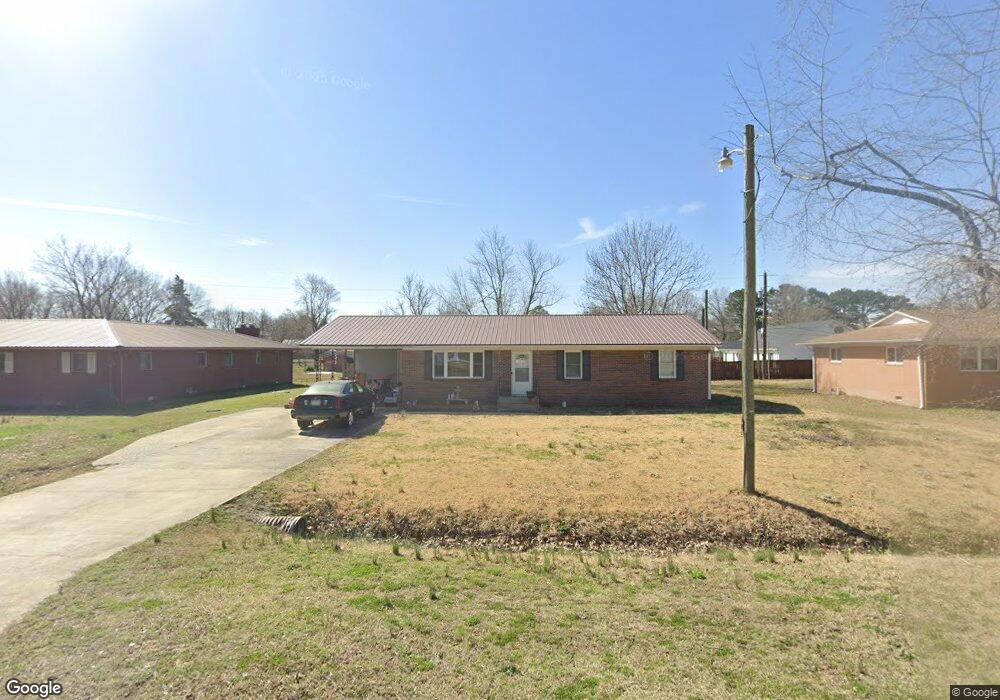
606 W Benton St Advance, MO 63730
Estimated Value: $145,000 - $176,000
3
Beds
1
Bath
1,460
Sq Ft
$112/Sq Ft
Est. Value
About This Home
This home is located at 606 W Benton St, Advance, MO 63730 and is currently estimated at $164,209, approximately $112 per square foot. 606 W Benton St is a home located in Stoddard County with nearby schools including Advance Elementary School, Advance High School, and Crowley Ridge Mennonite School.
Ownership History
Date
Name
Owned For
Owner Type
Purchase Details
Closed on
Jul 29, 2016
Sold by
Tim Middleton and Tim Elizabeth
Bought by
Wach Charles William and Wach Vicky Joyce
Current Estimated Value
Home Financials for this Owner
Home Financials are based on the most recent Mortgage that was taken out on this home.
Original Mortgage
$49,144
Interest Rate
3.43%
Mortgage Type
New Conventional
Create a Home Valuation Report for This Property
The Home Valuation Report is an in-depth analysis detailing your home's value as well as a comparison with similar homes in the area
Home Values in the Area
Average Home Value in this Area
Purchase History
| Date | Buyer | Sale Price | Title Company |
|---|---|---|---|
| Wach Charles William | $61,530 | -- |
Source: Public Records
Mortgage History
| Date | Status | Borrower | Loan Amount |
|---|---|---|---|
| Previous Owner | Wach Charles William | $49,144 | |
| Closed | Wach Charles William | $49,144 |
Source: Public Records
Tax History Compared to Growth
Tax History
| Year | Tax Paid | Tax Assessment Tax Assessment Total Assessment is a certain percentage of the fair market value that is determined by local assessors to be the total taxable value of land and additions on the property. | Land | Improvement |
|---|---|---|---|---|
| 2025 | $575 | $13,737 | $0 | $0 |
| 2024 | $575 | $12,825 | $0 | $0 |
| 2023 | $572 | $12,825 | $0 | $0 |
| 2022 | $538 | $12,065 | $0 | $0 |
| 2021 | $537 | $12,065 | $0 | $0 |
| 2020 | $520 | $11,571 | $0 | $0 |
| 2019 | $517 | $11,514 | $0 | $0 |
| 2018 | $518 | $11,571 | $0 | $0 |
| 2016 | $490 | $11,248 | $0 | $0 |
| 2015 | -- | $11,248 | $0 | $0 |
| 2014 | -- | $11,134 | $0 | $0 |
| 2013 | -- | $0 | $0 | $0 |
Source: Public Records
Map
Nearby Homes
- 105 Tupelo St
- 611 W 2nd St
- 712 W Duckett St
- 709 W Sand Rd
- 19085 State Highway C
- 34182 State Highway 25
- 21212 State Highway O
- 30913 State Highway 25
- 31197 County Road 219
- 17708 State Highway K
- 27859 State Highway K
- 000 State Highway K
- 16313 State Highway K
- 0 County Road 261
- 117 Thompson St
- 0 Tract 5 County Road 260 262
- 0 Tract 3 County Road 260 262
- 0 Tract 2 County Road 260 262
- 0 Tract 4 County Road 260 262
- 11309 County Road 234
- 604 W Benton St
- 608 W Benton St
- 308 N Grissom St
- 306 N Grissom St
- 605 W Benton St
- 607 W Maple St
- 609 W Benton St
- 601 W Maple St
- 603 W Maple St
- 605 W Maple St
- 609 W Maple St
- 313 N Poplar St
- 600 W Benton St
- 307 N Grissom St
- 305 N Grissom St
- 403 N Grissom St
- 309 N Grissom St
- 305 N Poplar St
- 406 Grissom St
- 406 N Vine St