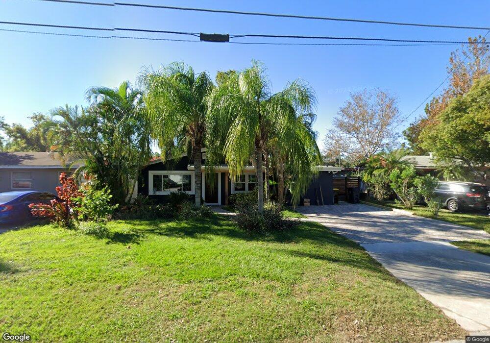
606 Walnut St Auburndale, FL 33823
Estimated Value: $198,000 - $224,197
3
Beds
1
Bath
1,170
Sq Ft
$183/Sq Ft
Est. Value
About This Home
This home is located at 606 Walnut St, Auburndale, FL 33823 and is currently estimated at $213,549, approximately $182 per square foot. 606 Walnut St is a home located in Polk County with nearby schools including Auburndale Central Elementary School, Auburndale Senior High School, and Jewett School of the Arts.
Ownership History
Date
Name
Owned For
Owner Type
Purchase Details
Closed on
Jun 20, 2005
Sold by
Hartman Darrell R and Hartman Deborah J
Bought by
Bias Timothy R
Current Estimated Value
Home Financials for this Owner
Home Financials are based on the most recent Mortgage that was taken out on this home.
Original Mortgage
$97,500
Outstanding Balance
$53,077
Interest Rate
6.43%
Mortgage Type
Fannie Mae Freddie Mac
Estimated Equity
$160,472
Purchase Details
Closed on
Apr 8, 1996
Sold by
Carson John W and Carson Janie W
Bought by
Hartman Darrell R and Hartman Deborah J
Create a Home Valuation Report for This Property
The Home Valuation Report is an in-depth analysis detailing your home's value as well as a comparison with similar homes in the area
Home Values in the Area
Average Home Value in this Area
Purchase History
| Date | Buyer | Sale Price | Title Company |
|---|---|---|---|
| Bias Timothy R | $97,500 | Polk Professional Title Insu | |
| Hartman Darrell R | $46,500 | -- |
Source: Public Records
Mortgage History
| Date | Status | Borrower | Loan Amount |
|---|---|---|---|
| Open | Bias Timothy R | $97,500 |
Source: Public Records
Tax History
| Year | Tax Paid | Tax Assessment Tax Assessment Total Assessment is a certain percentage of the fair market value that is determined by local assessors to be the total taxable value of land and additions on the property. | Land | Improvement |
|---|---|---|---|---|
| 2025 | $455 | $60,318 | -- | -- |
| 2024 | $451 | $58,618 | -- | -- |
| 2023 | $451 | $56,911 | -- | -- |
| 2022 | $446 | $55,253 | $0 | $0 |
| 2021 | $452 | $53,644 | $0 | $0 |
| 2020 | $451 | $52,903 | $0 | $0 |
| 2018 | $97 | $30,377 | $0 | $0 |
| 2017 | $85 | $29,752 | $0 | $0 |
| 2016 | $75 | $29,140 | $0 | $0 |
| 2015 | $73 | $28,937 | $0 | $0 |
| 2014 | $67 | $28,707 | $0 | $0 |
Source: Public Records
Map
Nearby Homes
- 620 Oak St
- 516 Walnut St
- 515 Walnut St
- 518 Bennett St
- 513 Lemon St
- 616 Lime St
- 402 Bennett St
- 318 Bennett St
- 518 Orange St
- 319 Leta St
- 208 Center St
- 520 Poinsettia Rd
- 0 Havendale Blvd NW
- 0 Howard St
- 309 Center St
- 0 E Bridgers Ave
- 713 Rose St Unit 69
- 713 Rose St Unit 33
- 713 Rose St Unit Lot 95
- 713 Rose St Unit 83
Your Personal Tour Guide
Ask me questions while you tour the home.