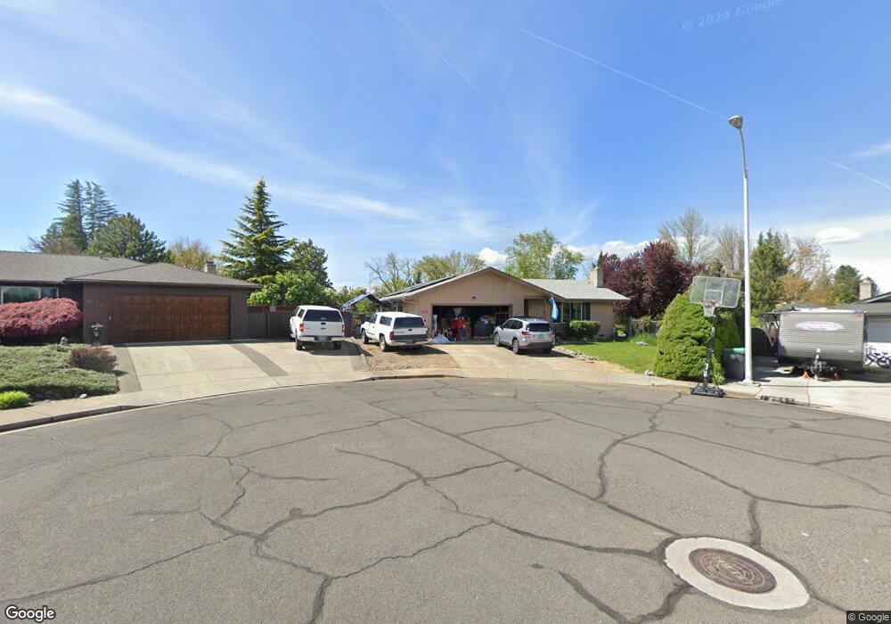
6060 Rock Way Central Point, OR 97502
Estimated Value: $368,005 - $383,000
3
Beds
3
Baths
1,333
Sq Ft
$282/Sq Ft
Est. Value
About This Home
This home is located at 6060 Rock Way, Central Point, OR 97502 and is currently estimated at $375,751, approximately $281 per square foot. 6060 Rock Way is a home located in Jackson County with nearby schools including Jewett Elementary School, Scenic Middle School, and Crater High School.
Ownership History
Date
Name
Owned For
Owner Type
Purchase Details
Closed on
Mar 5, 2018
Sold by
Riggs Ladonna V
Bought by
Daniels Blake K
Current Estimated Value
Home Financials for this Owner
Home Financials are based on the most recent Mortgage that was taken out on this home.
Original Mortgage
$211,460
Outstanding Balance
$179,312
Interest Rate
4.04%
Mortgage Type
New Conventional
Estimated Equity
$196,439
Create a Home Valuation Report for This Property
The Home Valuation Report is an in-depth analysis detailing your home's value as well as a comparison with similar homes in the area
Home Values in the Area
Average Home Value in this Area
Purchase History
| Date | Buyer | Sale Price | Title Company |
|---|---|---|---|
| Daniels Blake K | $218,000 | First American Title |
Source: Public Records
Mortgage History
| Date | Status | Borrower | Loan Amount |
|---|---|---|---|
| Open | Daniels Blake K | $211,460 |
Source: Public Records
Tax History Compared to Growth
Tax History
| Year | Tax Paid | Tax Assessment Tax Assessment Total Assessment is a certain percentage of the fair market value that is determined by local assessors to be the total taxable value of land and additions on the property. | Land | Improvement |
|---|---|---|---|---|
| 2025 | $2,960 | $178,040 | $65,580 | $112,460 |
| 2024 | $2,960 | $172,860 | $63,670 | $109,190 |
| 2023 | $2,865 | $167,830 | $61,810 | $106,020 |
| 2022 | $2,798 | $167,830 | $61,810 | $106,020 |
| 2021 | $2,718 | $162,950 | $60,010 | $102,940 |
| 2020 | $2,639 | $158,210 | $58,260 | $99,950 |
| 2019 | $2,574 | $149,140 | $54,920 | $94,220 |
| 2018 | $2,496 | $144,800 | $53,320 | $91,480 |
| 2017 | $2,074 | $144,800 | $53,320 | $91,480 |
| 2016 | $2,013 | $136,500 | $50,260 | $86,240 |
| 2015 | $1,929 | $136,500 | $50,260 | $86,240 |
| 2014 | $1,880 | $128,670 | $47,380 | $81,290 |
Source: Public Records
Map
Nearby Homes
- 4035 Rock Way
- 335 Applewood Dr
- 356 Marian Ave Unit 40
- 327 Brookhaven Dr
- 4626 N Pacific Hwy
- 413 Sand Pointe Dr
- 426 Bridge Creek Dr
- 422 Castle Rock Dr
- 1010 N 3rd St
- 905 Comet Ave
- 920 N 10th St
- 1167 Boulder Ridge St
- 526 Stone Pointe Dr
- 0 Peninger Rd
- 629 Bridge Creek Dr
- 1317 River Run St
- 55 Crater Ln
- 1159 Rustler Peak St
- 741 Hazel St
- 833 Hazel St
- 5212 Dobrot Way
- 6050 Rock Way
- 6070 Rock Way
- 5204 Dobrot Way
- 6040 Rock Way
- 6090 Rock Way
- 5236 Dobrot Way
- 5242 Dobrot Way
- 6030 Rock Way
- 5085 Del Mar Dr
- 5168 Dobrot Way
- 6020 Rock Way
- 6035 Rock Way
- 5075 Del Mar Dr
- 5080 Del Mar Dr
- 6010 Rock Way
- 5175 Dobrot Way
- 5140 Dobrot Way
- 6025 Rock Way
- 5233 Dobrot Way