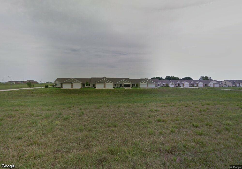
6063 Manchester Ln Johnston, IA 50131
Southwest Johnston NeighborhoodEstimated Value: $309,000 - $378,000
2
Beds
3
Baths
1,350
Sq Ft
$247/Sq Ft
Est. Value
About This Home
This home is located at 6063 Manchester Ln, Johnston, IA 50131 and is currently estimated at $333,009, approximately $246 per square foot. 6063 Manchester Ln is a home located in Polk County with nearby schools including Horizon Elementary School, Summit Middle School, and Johnston Middle School.
Ownership History
Date
Name
Owned For
Owner Type
Purchase Details
Closed on
May 30, 2024
Sold by
Allen J Myklestad J and Allen Mary M
Bought by
Allen J Myklestad Revocable Trust and Myklestad
Current Estimated Value
Purchase Details
Closed on
Jun 14, 2023
Sold by
Myklestad Allen J and Myklestad Mary
Bought by
Allen J Myklestad And Mary M Myklestad Joint
Purchase Details
Closed on
Sep 10, 2015
Sold by
Jerry S Homes Inc
Bought by
Myklestad Allen J and Myklestad Mary
Create a Home Valuation Report for This Property
The Home Valuation Report is an in-depth analysis detailing your home's value as well as a comparison with similar homes in the area
Home Values in the Area
Average Home Value in this Area
Purchase History
| Date | Buyer | Sale Price | Title Company |
|---|---|---|---|
| Allen J Myklestad Revocable Trust | -- | None Listed On Document | |
| Allen J Myklestad And Mary M Myklestad Joint | -- | None Listed On Document | |
| Allen J Myklestad And Mary M Myklestad Joint | -- | None Listed On Document | |
| Myklestad Allen J | $235,000 | Attorney |
Source: Public Records
Tax History Compared to Growth
Tax History
| Year | Tax Paid | Tax Assessment Tax Assessment Total Assessment is a certain percentage of the fair market value that is determined by local assessors to be the total taxable value of land and additions on the property. | Land | Improvement |
|---|---|---|---|---|
| 2025 | $4,726 | $333,900 | $54,400 | $279,500 |
| 2024 | $4,726 | $299,200 | $48,300 | $250,900 |
| 2023 | $4,692 | $299,200 | $48,300 | $250,900 |
| 2022 | $5,240 | $254,900 | $42,500 | $212,400 |
| 2021 | $5,174 | $254,900 | $42,500 | $212,400 |
| 2020 | $5,174 | $244,000 | $40,700 | $203,300 |
| 2019 | $5,416 | $244,000 | $40,700 | $203,300 |
| 2018 | $5,274 | $236,800 | $38,700 | $198,100 |
| 2017 | $5,142 | $236,800 | $38,700 | $198,100 |
| 2016 | $1,574 | $226,600 | $23,100 | $203,500 |
| 2015 | $1,574 | $68,200 | $18,500 | $49,700 |
Source: Public Records
Map
Nearby Homes
- 6054 Bradford Ln
- 6101 Manchester Ln
- 10335 Norfolk Dr Unit 16
- 10520 Stonecrest Dr
- 10418 Stonebridge Dr
- 5920 Century Way E
- 10325 Providence Dr Unit 102
- 5827 Marble Cir
- 10100 Catalina Dr
- 2803 SE Keystone Dr
- 2908 SE Diamond Dr
- 3008 SE Weatherstone St
- 9425 Woodland Dr
- 3305 SE Glenstone Dr Unit 142
- 3305 SE Glenstone Dr Unit 172
- 3305 SE Glenstone Dr Unit 236
- 9504 NW Newgate Dr
- 2905 SE Liberty Dr
- 5920 NW 91st Ct
- 3400 SE Glenstone Dr Unit 3
- 6059 Manchester Ln
- 6067 Manchester Ln
- 6061 Manchester Ln
- 6065 Manchester Ln
- 6055 Manchester Ln
- 6071 Manchester Ln
- 6051 Manchester Ln
- 6064 Manchester Ln
- 6060 Manchester Ln
- 6056 Manchester Ln
- 6060 Bradford Ln
- 6066 Bradford Ln
- 6058 Manchester Ln
- 6062 Manchester Ln
- 6075 Manchester Ln
- 6052 Manchester Ln
- 6070 Bradford Ln
- 6062 Bradford Ln
- 6068 Manchester Ln
- 6058 Bradford Ln