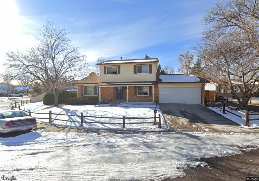
6065 W 82nd Dr Arvada, CO 80003
Lake Arbor NeighborhoodEstimated Value: $561,000 - $630,000
3
Beds
5
Baths
1,669
Sq Ft
$350/Sq Ft
Est. Value
About This Home
This home is located at 6065 W 82nd Dr, Arvada, CO 80003 and is currently estimated at $584,238, approximately $350 per square foot. 6065 W 82nd Dr is a home located in Jefferson County with nearby schools including Little Elementary School, Pomona High School, and Face School.
Ownership History
Date
Name
Owned For
Owner Type
Purchase Details
Closed on
Jul 23, 2018
Sold by
Mcguiness John J and Mcguiness Norma Jean
Bought by
Nichols Brenna Rae and Brown Gregory Lee
Current Estimated Value
Home Financials for this Owner
Home Financials are based on the most recent Mortgage that was taken out on this home.
Original Mortgage
$320,000
Outstanding Balance
$277,328
Interest Rate
4.5%
Mortgage Type
New Conventional
Estimated Equity
$306,910
Purchase Details
Closed on
Jun 25, 1997
Sold by
Boldt Wilbur J and Boldt Leona M
Bought by
Mcguiness John J and Mcguiness Norma Jean
Home Financials for this Owner
Home Financials are based on the most recent Mortgage that was taken out on this home.
Original Mortgage
$110,000
Interest Rate
7.93%
Create a Home Valuation Report for This Property
The Home Valuation Report is an in-depth analysis detailing your home's value as well as a comparison with similar homes in the area
Home Values in the Area
Average Home Value in this Area
Purchase History
| Date | Buyer | Sale Price | Title Company |
|---|---|---|---|
| Nichols Brenna Rae | $400,000 | None Available | |
| Mcguiness John J | $159,000 | -- |
Source: Public Records
Mortgage History
| Date | Status | Borrower | Loan Amount |
|---|---|---|---|
| Open | Nichols Brenna Rae | $320,000 | |
| Previous Owner | Mcguiness John J | $110,000 |
Source: Public Records
Tax History
| Year | Tax Paid | Tax Assessment Tax Assessment Total Assessment is a certain percentage of the fair market value that is determined by local assessors to be the total taxable value of land and additions on the property. | Land | Improvement |
|---|---|---|---|---|
| 2024 | $3,199 | $32,979 | $10,756 | $22,223 |
| 2023 | $3,199 | $32,979 | $10,756 | $22,223 |
| 2022 | $2,928 | $29,903 | $7,822 | $22,081 |
| 2021 | $2,977 | $30,764 | $8,047 | $22,717 |
| 2020 | $2,647 | $27,431 | $7,990 | $19,441 |
| 2019 | $2,611 | $27,431 | $7,990 | $19,441 |
| 2018 | $2,246 | $22,938 | $5,829 | $17,109 |
| 2017 | $2,056 | $22,938 | $5,829 | $17,109 |
| 2016 | $2,087 | $21,931 | $5,422 | $16,509 |
| 2015 | $1,844 | $21,931 | $5,422 | $16,509 |
| 2014 | $1,844 | $18,212 | $5,126 | $13,086 |
Source: Public Records
Map
Nearby Homes
- 8136 Gray Ct Unit 509
- 8227 Depew Way
- 8221 Marshall Ct
- 8414 Kendall Ct
- 8397 Chase Dr
- 5690 W 80th Place Unit 98
- 5690 W 80th Place Unit 91
- 5620 W 80th Place Unit 66
- 6545 W 84th Way Unit 124
- 6545 W 84th Way Unit 127
- 8512 Gray Ct
- 8478 Fenton St
- 6620 W 84th Cir Unit 111
- 6670 W 84th Cir Unit 98
- 7958 Harlan St
- 8423 Chase St
- 6615 W 84th Way Unit 101
- 6432 W 81st Ave
- 7936 Eaton St
- 8536 Eaton St
- 6075 W 82nd Dr
- 6060 W 82nd Place
- 6070 W 82nd Place
- 8280 Harlan Ct
- 6085 W 82nd Dr
- 6070 W 82nd Dr
- 6060 W 82nd Dr
- 8272 Harlan Ct
- 8288 Harlan Ct
- 6080 W 82nd Dr
- 6050 W 82nd Dr
- 8260 Jay Ct
- 8264 Harlan Ct
- 6095 W 82nd Dr
- 6090 W 82nd Dr
- 8250 Jay Ct
- 6065 W 82nd Place
- 8309 Chase Dr
- 6075 W 82nd Place
- 8305 Chase Dr