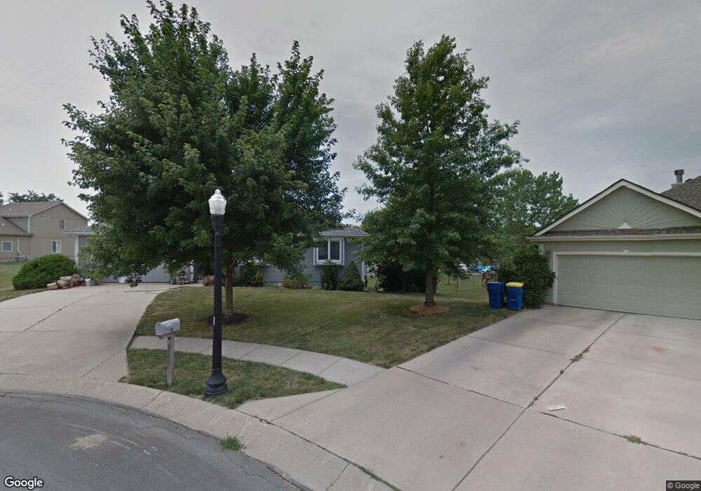
607 E 15th St Kearney, MO 64060
Estimated Value: $308,385 - $343,000
3
Beds
2
Baths
1,439
Sq Ft
$224/Sq Ft
Est. Value
About This Home
This home is located at 607 E 15th St, Kearney, MO 64060 and is currently estimated at $322,596, approximately $224 per square foot. 607 E 15th St is a home located in Clay County with nearby schools including Kearney Junior High School and Kearney High School.
Ownership History
Date
Name
Owned For
Owner Type
Purchase Details
Closed on
Dec 15, 2000
Sold by
Moor Janell Ellen
Bought by
Moor Mark Lee
Current Estimated Value
Purchase Details
Closed on
Nov 30, 1998
Sold by
Porter & Sons Building Inc
Bought by
Moor Mark L and Moor Janell E
Home Financials for this Owner
Home Financials are based on the most recent Mortgage that was taken out on this home.
Original Mortgage
$109,500
Outstanding Balance
$25,131
Interest Rate
6.9%
Estimated Equity
$297,465
Create a Home Valuation Report for This Property
The Home Valuation Report is an in-depth analysis detailing your home's value as well as a comparison with similar homes in the area
Home Values in the Area
Average Home Value in this Area
Purchase History
| Date | Buyer | Sale Price | Title Company |
|---|---|---|---|
| Moor Mark Lee | -- | -- | |
| Moor Mark L | -- | -- |
Source: Public Records
Mortgage History
| Date | Status | Borrower | Loan Amount |
|---|---|---|---|
| Open | Moor Mark L | $109,500 |
Source: Public Records
Tax History
| Year | Tax Paid | Tax Assessment Tax Assessment Total Assessment is a certain percentage of the fair market value that is determined by local assessors to be the total taxable value of land and additions on the property. | Land | Improvement |
|---|---|---|---|---|
| 2025 | $2,782 | $46,440 | -- | -- |
| 2024 | $2,782 | $40,600 | -- | -- |
| 2023 | $2,773 | $40,600 | $0 | $0 |
| 2022 | $2,565 | $36,310 | $0 | $0 |
| 2021 | $2,514 | $36,309 | $4,940 | $31,369 |
| 2020 | $2,518 | $33,080 | $0 | $0 |
| 2019 | $2,505 | $33,079 | $4,940 | $28,139 |
Source: Public Records
Map
Nearby Homes
- 1505 Emerald Cir
- 801 Southbrook Pkwy
- 1300 Robin Cir
- 1307 Stonecrest Dr
- 623 E 13th St
- 1209 Noah's Ln
- 1204 Noah's Ln
- 1202 Noah Ln
- 1300 Melissa Ct
- 1933 Meadowlane
- 1304 S Jefferson St
- 2118 Glenside Rd
- 1404 Colony Dr
- 200 E 20th Terrace
- 905 Susan St
- 901 Pine Crest Ave
- 1207 E 15th St
- 819 Susan St
- 204 E 22nd St
- 200 E 10th St
- 609 E 15th St
- 608 E 15th St
- 1510 Rockwater Ln
- 611 E 15th St
- 610 E 15th St
- 1602 Rockwater Ln
- 1508 Rockwater Ln
- 612 E 15th St
- 613 E 15th St
- 1506 Opal Rd
- 1507 Emerald Cir
- 1604 Rockwater Ln
- 1511 Rockwater Ln
- 1600 Opal Rd
- 1503 Emerald Cir
- 614 E 15th St
- 707 Southbrook Pkwy
- 1506 Rockwater Ln
- 1509 Rockwater Ln
- 1608 Stonelake Dr
Your Personal Tour Guide
Ask me questions while you tour the home.