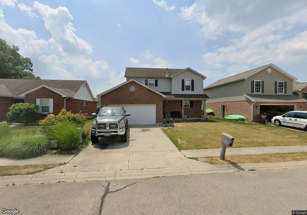
607 E High St Pleasant Hill, OH 45359
Estimated Value: $235,000 - $261,000
3
Beds
3
Baths
1,710
Sq Ft
$146/Sq Ft
Est. Value
About This Home
This home is located at 607 E High St, Pleasant Hill, OH 45359 and is currently estimated at $250,246, approximately $146 per square foot. 607 E High St is a home located in Miami County with nearby schools including Newton Elementary School and Newton High School.
Ownership History
Date
Name
Owned For
Owner Type
Purchase Details
Closed on
Mar 18, 2019
Sold by
Wellman Spencer Andrew and Wellman Julie Christie
Bought by
Wellman Julie Christie
Current Estimated Value
Purchase Details
Closed on
Nov 10, 2016
Sold by
Velkoff Michael J and Velkoff Julie R
Bought by
Wellman Spencer and Wellman Julie
Home Financials for this Owner
Home Financials are based on the most recent Mortgage that was taken out on this home.
Original Mortgage
$179,900
Outstanding Balance
$142,712
Interest Rate
3.47%
Mortgage Type
VA
Estimated Equity
$107,534
Purchase Details
Closed on
Feb 19, 2013
Sold by
Olden Jeffrey T
Bought by
Olden Kenna L and Mahlan Kenna L
Purchase Details
Closed on
Dec 29, 2005
Sold by
Keystone Homes Of Troy
Bought by
Olden Jeffrey T and Mahlan Kenna L
Home Financials for this Owner
Home Financials are based on the most recent Mortgage that was taken out on this home.
Original Mortgage
$170,676
Interest Rate
6.48%
Mortgage Type
New Conventional
Create a Home Valuation Report for This Property
The Home Valuation Report is an in-depth analysis detailing your home's value as well as a comparison with similar homes in the area
Purchase History
| Date | Buyer | Sale Price | Title Company |
|---|---|---|---|
| Wellman Julie Christie | -- | None Available | |
| Wellman Spencer | $179,900 | Attorney | |
| Olden Kenna L | -- | Attorney | |
| Olden Jeffrey T | $172,025 | -- |
Source: Public Records
Mortgage History
| Date | Status | Borrower | Loan Amount |
|---|---|---|---|
| Open | Wellman Spencer | $179,900 | |
| Closed | Olden Jeffrey T | $170,676 |
Source: Public Records
Tax History
| Year | Tax Paid | Tax Assessment Tax Assessment Total Assessment is a certain percentage of the fair market value that is determined by local assessors to be the total taxable value of land and additions on the property. | Land | Improvement |
|---|---|---|---|---|
| 2025 | $3,304 | $96,260 | $6,550 | $89,710 |
| 2024 | $3,304 | $66,370 | $6,550 | $59,820 |
| 2023 | $2,476 | $66,370 | $6,550 | $59,820 |
| 2022 | $2,515 | $66,370 | $6,550 | $59,820 |
| 2021 | $2,242 | $55,300 | $5,460 | $49,840 |
| 2020 | $2,250 | $55,300 | $5,460 | $49,840 |
| 2019 | $2,108 | $55,300 | $5,460 | $49,840 |
| 2018 | $1,891 | $49,530 | $8,750 | $40,780 |
| 2017 | $1,907 | $49,530 | $8,750 | $40,780 |
| 2016 | $1,885 | $49,530 | $8,750 | $40,780 |
| 2015 | $2,065 | $49,530 | $8,750 | $40,780 |
| 2014 | $2,065 | $49,530 | $8,750 | $40,780 |
| 2013 | $2,085 | $49,530 | $8,750 | $40,780 |
Source: Public Records
Map
Nearby Homes
- 1 N Main St
- 5845 Fenner Rd
- 5180 Fenner Rd
- 9980 Ohio 718
- 1112 Red Maple Dr
- 115 Vine St
- 1137 Red Maple Dr
- 3318 Heatherstone Dr
- 221 Henry Ct
- 219 Henry Ct
- 2765 Liette Dr
- 207 Charles Ct
- 201 Charles Ct
- 200 Charles Ct
- 203 Charles Ct
- 205 Charles Ct
- 202 Charles Ct
- 212 Charles Ct
- 208 Charles Ct
- 210 Charles Ct
Your Personal Tour Guide
Ask me questions while you tour the home.