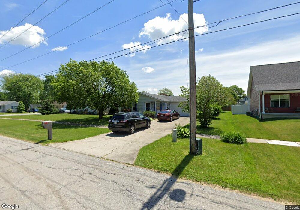
607 E Monitor St Crown Point, IN 46307
Estimated Value: $246,309 - $263,000
2
Beds
2
Baths
1,306
Sq Ft
$196/Sq Ft
Est. Value
About This Home
This home is located at 607 E Monitor St, Crown Point, IN 46307 and is currently estimated at $255,577, approximately $195 per square foot. 607 E Monitor St is a home located in Lake County with nearby schools including Timothy Ball Elementary School, Robert Taft Middle School, and Crown Point High School.
Ownership History
Date
Name
Owned For
Owner Type
Purchase Details
Closed on
Aug 3, 2006
Sold by
Kender Laurie J and Estate Of Dorothy J Clark
Bought by
Utley Shelly L
Current Estimated Value
Home Financials for this Owner
Home Financials are based on the most recent Mortgage that was taken out on this home.
Original Mortgage
$130,427
Outstanding Balance
$78,604
Interest Rate
6.83%
Mortgage Type
FHA
Estimated Equity
$176,973
Create a Home Valuation Report for This Property
The Home Valuation Report is an in-depth analysis detailing your home's value as well as a comparison with similar homes in the area
Home Values in the Area
Average Home Value in this Area
Purchase History
| Date | Buyer | Sale Price | Title Company |
|---|---|---|---|
| Utley Shelly L | -- | Ticor Scher |
Source: Public Records
Mortgage History
| Date | Status | Borrower | Loan Amount |
|---|---|---|---|
| Open | Utley Shelly L | $130,427 |
Source: Public Records
Tax History Compared to Growth
Tax History
| Year | Tax Paid | Tax Assessment Tax Assessment Total Assessment is a certain percentage of the fair market value that is determined by local assessors to be the total taxable value of land and additions on the property. | Land | Improvement |
|---|---|---|---|---|
| 2024 | $5,162 | $195,000 | $40,300 | $154,700 |
| 2023 | $2,056 | $187,800 | $40,300 | $147,500 |
| 2022 | $2,056 | $186,900 | $40,300 | $146,600 |
| 2021 | $1,585 | $155,400 | $28,900 | $126,500 |
| 2020 | $1,557 | $149,500 | $28,900 | $120,600 |
| 2019 | $1,596 | $148,200 | $28,900 | $119,300 |
| 2018 | $1,635 | $145,600 | $28,900 | $116,700 |
| 2017 | $1,599 | $142,300 | $28,900 | $113,400 |
| 2016 | $1,581 | $139,600 | $28,900 | $110,700 |
| 2014 | $1,415 | $137,200 | $28,900 | $108,300 |
| 2013 | $1,544 | $144,100 | $28,900 | $115,200 |
Source: Public Records
Map
Nearby Homes
- 380 N Indiana Ave
- 360 N Indiana Ave
- 310 N Indiana Ave
- 150 N Ridge St
- 411 Prairie St
- 407 Prairie St
- 138 N Grant St
- 511 N West St
- 808 N West St
- 221 N West St
- 1250 E North St
- 306 Holton Ridge
- 312 Summit Park Ct S
- 531 E Joliet St
- 301 Hoffman St
- 0 W Joliet St
- 206 Birch St
- 1206 Sycamore St
- 266 Maxwell St
- 269 Maxwell St
- 547 Thomas St
- 605 E Monitor St
- 545 Thomas St
- 543 Thomas St
- 603 E Monitor St
- 600 Thomas St
- 616 E Goldsborough St
- 618 E Goldsborough St
- 606 E Monitor St
- 618 E Goldsborough St
- 540 Thomas St
- 602 E Monitor St
- 621 Thomas St
- 608 Thomas St
- 544 Thomas St
- 702 E Monitor St
- 526 Sheridan St
- 702 E Goldsboro St
- 610 Thomas St
- 722 E Goldsboro St