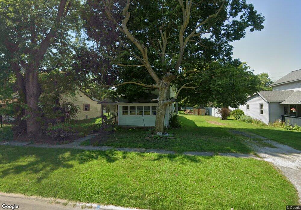
607 Lee St Marion, OH 43302
Estimated Value: $59,000 - $89,000
3
Beds
1
Bath
1,028
Sq Ft
$73/Sq Ft
Est. Value
About This Home
This home is located at 607 Lee St, Marion, OH 43302 and is currently estimated at $75,428, approximately $73 per square foot. 607 Lee St is a home located in Marion County with nearby schools including Rutherford B. Hayes Elementary School, Ulysses S. Grant Middle School, and Harding High School.
Ownership History
Date
Name
Owned For
Owner Type
Purchase Details
Closed on
Aug 16, 2024
Sold by
Hatch Cynthia L
Bought by
Hutchinson Phillip Sherman
Current Estimated Value
Purchase Details
Closed on
Feb 13, 2020
Sold by
Hatch Marilyn A and Hatch Marilyn
Bought by
Hatch Cynthia L and Hatch Cynthia
Purchase Details
Closed on
Oct 7, 2015
Sold by
Hatch Marilyn A
Bought by
Hatch Cynthia L
Purchase Details
Closed on
Feb 22, 2012
Sold by
Hatch Cynthia L
Bought by
Hatch Marilyn A
Purchase Details
Closed on
Apr 22, 2011
Sold by
Hatch Phillip S and Hatch Marilyn A
Bought by
Hatch Cynthia L
Create a Home Valuation Report for This Property
The Home Valuation Report is an in-depth analysis detailing your home's value as well as a comparison with similar homes in the area
Home Values in the Area
Average Home Value in this Area
Purchase History
| Date | Buyer | Sale Price | Title Company |
|---|---|---|---|
| Hutchinson Phillip Sherman | $22,000 | None Listed On Document | |
| Hutchinson Phillip Sherman | $22,000 | None Listed On Document | |
| Hatch Cynthia L | -- | None Available | |
| Hatch Cynthia L | -- | Attorney | |
| Hatch Marilyn A | -- | None Available | |
| Hatch Cynthia L | -- | None Available |
Source: Public Records
Tax History
| Year | Tax Paid | Tax Assessment Tax Assessment Total Assessment is a certain percentage of the fair market value that is determined by local assessors to be the total taxable value of land and additions on the property. | Land | Improvement |
|---|---|---|---|---|
| 2025 | $679 | $21,470 | $2,250 | $19,220 |
| 2024 | $679 | $17,680 | $2,150 | $15,530 |
| 2023 | $679 | $17,680 | $2,150 | $15,530 |
| 2022 | $631 | $17,680 | $2,150 | $15,530 |
| 2021 | $548 | $13,820 | $1,870 | $11,950 |
| 2020 | $549 | $13,820 | $1,870 | $11,950 |
| 2019 | $549 | $13,820 | $1,870 | $11,950 |
| 2018 | $102 | $11,350 | $1,830 | $9,520 |
| 2017 | $128 | $11,970 | $1,830 | $10,140 |
| 2016 | $125 | $11,970 | $1,830 | $10,140 |
| 2015 | $127 | $11,940 | $1,750 | $10,190 |
| 2014 | $129 | $11,940 | $1,750 | $10,190 |
| 2012 | $358 | $8,940 | $1,850 | $7,090 |
Source: Public Records
Map
Nearby Homes
- 615 Lee St
- 608 Lee St
- 599 Lee St
- 595 Lee St
- 600 Lee St
- back Back Lake Blvd
- 594 Lee St
- 622 Lee St
- 626 Lois Ln
- 630 Lee St
- 625 Lee St
- 634 Lee St
- 573 Lee St
- 610 Euclid Ave
- 3084 3084 Conrads Trace
- 6582 South St
- 271-273 271 Fairview
- 202/204 202 Bain 325 High S
- 0 Matheny Burris & Harris Unit 10039541
- Tract 5 Tract 5 Bethlehem Rd W
Your Personal Tour Guide
Ask me questions while you tour the home.