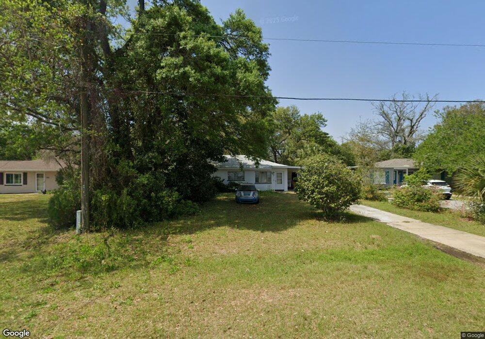
607 Lownde Ave Pensacola, FL 32507
Warrington NeighborhoodEstimated Value: $135,000 - $189,000
--
Bed
1
Bath
1,026
Sq Ft
$152/Sq Ft
Est. Value
About This Home
This home is located at 607 Lownde Ave, Pensacola, FL 32507 and is currently estimated at $156,208, approximately $152 per square foot. 607 Lownde Ave is a home located in Escambia County with nearby schools including Navy Point Elementary School, Jim C. Bailey Middle School, and Escambia High School.
Ownership History
Date
Name
Owned For
Owner Type
Purchase Details
Closed on
Aug 10, 2001
Sold by
Robertson Pat and Robertson Ida Pat
Bought by
Pollock Philip A and Pollock Cheryl E
Current Estimated Value
Home Financials for this Owner
Home Financials are based on the most recent Mortgage that was taken out on this home.
Original Mortgage
$30,800
Outstanding Balance
$11,971
Interest Rate
7.1%
Estimated Equity
$144,237
Create a Home Valuation Report for This Property
The Home Valuation Report is an in-depth analysis detailing your home's value as well as a comparison with similar homes in the area
Home Values in the Area
Average Home Value in this Area
Purchase History
| Date | Buyer | Sale Price | Title Company |
|---|---|---|---|
| Pollock Philip A | $38,500 | -- |
Source: Public Records
Mortgage History
| Date | Status | Borrower | Loan Amount |
|---|---|---|---|
| Open | Pollock Philip A | $30,800 |
Source: Public Records
Tax History Compared to Growth
Tax History
| Year | Tax Paid | Tax Assessment Tax Assessment Total Assessment is a certain percentage of the fair market value that is determined by local assessors to be the total taxable value of land and additions on the property. | Land | Improvement |
|---|---|---|---|---|
| 2024 | $1,222 | $98,844 | $17,250 | $81,594 |
| 2023 | $1,222 | $76,249 | $0 | $0 |
| 2022 | $1,116 | $81,123 | $8,625 | $72,498 |
| 2021 | $965 | $64,359 | $0 | $0 |
| 2020 | $906 | $57,289 | $0 | $0 |
| 2019 | $867 | $53,962 | $0 | $0 |
| 2018 | $863 | $52,641 | $0 | $0 |
| 2017 | $823 | $48,716 | $0 | $0 |
| 2016 | $816 | $47,405 | $0 | $0 |
| 2015 | $770 | $45,223 | $0 | $0 |
| 2014 | $732 | $43,040 | $0 | $0 |
Source: Public Records
Map
Nearby Homes
- 729 Lownde Ave
- 700 Mills Ave
- 714 Paulding Ave
- 507 Polk Ave
- 1310 Leeway Dr
- 1308 Leeway Dr
- 1306 Leeway Dr
- 1304 Leeway Dr
- 1804 Grundy St
- 1302 Leeway Dr
- 1300 Leeway Dr
- 601 W Sunset Ave
- 406 NW Syrcle Dr
- 110 Cousineau Rd
- 100 BLK Cousineau Rd
- Palm A Exterior Plan at Ellie's Cove
- 1400 Maritime Dr
- Palm B Interior Plan at Ellie's Cove
- 20 NW Gilliland Rd
- 6 Cousineau Rd
- 609 Lownde Ave
- 605 Lownde Ave
- 619 Lownde Ave
- 620 Wayne Ave
- 602 Wayne Ave
- 1502 Heinrich St
- 624 Wayne Ave
- 614 Lownde Ave
- 612 Lownde Ave
- 620 Lownde Ave
- 1508 Heinrich St
- 623 Lownde Ave
- 1408 Heinrich St
- 1505 Graupera St Unit 1503
- 624 Lownde Ave
- 619 Wayne Ave
- 605 Mills Ave
- 603 Mills Ave
- 621 Wayne Ave
- 601 Wayne Ave