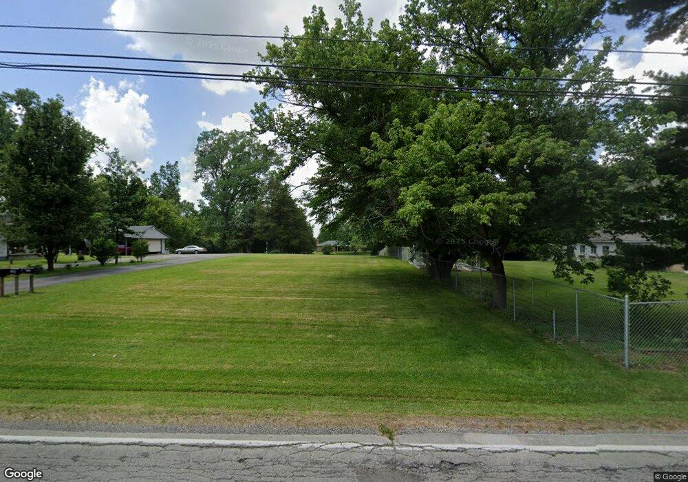
607 N Union Rd Dayton, OH 45417
Estimated Value: $170,000 - $217,000
3
Beds
1
Bath
1,624
Sq Ft
$120/Sq Ft
Est. Value
About This Home
This home is located at 607 N Union Rd, Dayton, OH 45417 and is currently estimated at $195,374, approximately $120 per square foot. 607 N Union Rd is a home located in Montgomery County with nearby schools including Trotwood-Madison Middle School and Trotwood-Madison High School.
Ownership History
Date
Name
Owned For
Owner Type
Purchase Details
Closed on
May 12, 2017
Sold by
Davis Leo K and Davis Loretta M
Bought by
Emmons James M and Emmons Teresa S
Current Estimated Value
Home Financials for this Owner
Home Financials are based on the most recent Mortgage that was taken out on this home.
Original Mortgage
$91,805
Interest Rate
3.78%
Mortgage Type
FHA
Purchase Details
Closed on
Jul 3, 2015
Sold by
Davis Leo K
Bought by
Davis Leo K and Davis Loretta M
Purchase Details
Closed on
Jun 27, 1997
Sold by
Hill George P and Hill Margaret H
Bought by
Davis Leo K and Davis Clara
Create a Home Valuation Report for This Property
The Home Valuation Report is an in-depth analysis detailing your home's value as well as a comparison with similar homes in the area
Home Values in the Area
Average Home Value in this Area
Purchase History
| Date | Buyer | Sale Price | Title Company |
|---|---|---|---|
| Emmons James M | $93,500 | Performance Title Agency Llc | |
| Davis Leo K | -- | Attorney | |
| Davis Leo K | $78,000 | -- |
Source: Public Records
Mortgage History
| Date | Status | Borrower | Loan Amount |
|---|---|---|---|
| Previous Owner | Emmons James M | $91,805 |
Source: Public Records
Tax History Compared to Growth
Tax History
| Year | Tax Paid | Tax Assessment Tax Assessment Total Assessment is a certain percentage of the fair market value that is determined by local assessors to be the total taxable value of land and additions on the property. | Land | Improvement |
|---|---|---|---|---|
| 2024 | $3,108 | $43,620 | $10,490 | $33,130 |
| 2023 | $3,108 | $43,620 | $10,490 | $33,130 |
| 2022 | $2,746 | $29,430 | $7,090 | $22,340 |
| 2021 | $2,746 | $29,430 | $7,090 | $22,340 |
| 2020 | $3,141 | $29,430 | $7,090 | $22,340 |
| 2019 | $2,403 | $22,780 | $7,090 | $15,690 |
| 2018 | $2,705 | $22,780 | $7,090 | $15,690 |
| 2017 | $1,326 | $22,940 | $7,250 | $15,690 |
| 2016 | $1,168 | $21,220 | $7,250 | $13,970 |
| 2015 | $1,149 | $21,220 | $7,250 | $13,970 |
| 2014 | $1,149 | $21,220 | $7,250 | $13,970 |
| 2012 | -- | $22,700 | $7,250 | $15,450 |
Source: Public Records
Map
Nearby Homes
- 0 Meeker Woods Unit 884863
- 6236 Carmin Ave
- 201 Parsons Ave
- 217 Parsons Ave
- 51 N Northampton Ave
- 1500 N Snyder Rd
- 0 Little Richmond Rd
- 6899 Little Richmond Rd
- 764 Miller Ave
- 7534 Little Richmond Rd
- 5328 Whaley Dr
- 8620 W 3rd St
- 71 Elkins Ave
- 1341 Marot Dr
- 6925 W Third St
- 5116 Rucks Rd
- 1303 Graystone Dr
- 316 Skinner Dr
- 72 Patton Ave
- 773 Goodlow Ave