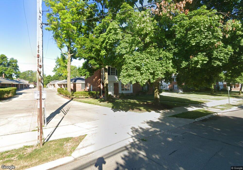
607 Notre Dame St Unit 20 Grosse Pointe, MI 48230
Estimated Value: $196,000 - $256,000
2
Beds
1
Bath
1,033
Sq Ft
$227/Sq Ft
Est. Value
About This Home
This home is located at 607 Notre Dame St Unit 20, Grosse Pointe, MI 48230 and is currently estimated at $234,801, approximately $227 per square foot. 607 Notre Dame St Unit 20 is a home located in Wayne County with nearby schools including Lewis Maire Elementary School, Pierce Middle School, and Grosse Pointe South High School.
Ownership History
Date
Name
Owned For
Owner Type
Purchase Details
Closed on
Jul 26, 2011
Sold by
Mayday Marguerite Colette and Mayday Richard R
Bought by
Choate Dennis and Choate Rose
Current Estimated Value
Purchase Details
Closed on
May 25, 2010
Sold by
Mayday Marion S and Mayday Richard R
Bought by
Mayday Richard R and Mayday Marguerite Colette
Purchase Details
Closed on
Feb 4, 2005
Sold by
Riley Carolyn B and Breitenbecher Margaret L
Bought by
Mayday Marion S
Create a Home Valuation Report for This Property
The Home Valuation Report is an in-depth analysis detailing your home's value as well as a comparison with similar homes in the area
Home Values in the Area
Average Home Value in this Area
Purchase History
| Date | Buyer | Sale Price | Title Company |
|---|---|---|---|
| Choate Dennis | $64,000 | Greco | |
| Mayday Richard R | -- | None Available | |
| Mayday Marion S | $179,000 | Lawyers Title Ins |
Source: Public Records
Tax History Compared to Growth
Tax History
| Year | Tax Paid | Tax Assessment Tax Assessment Total Assessment is a certain percentage of the fair market value that is determined by local assessors to be the total taxable value of land and additions on the property. | Land | Improvement |
|---|---|---|---|---|
| 2025 | $2,094 | $112,200 | $0 | $0 |
| 2024 | $2,094 | $109,100 | $0 | $0 |
| 2023 | $1,997 | $104,500 | $0 | $0 |
| 2022 | $3,660 | $91,900 | $0 | $0 |
| 2021 | $3,564 | $79,600 | $0 | $0 |
| 2019 | $3,508 | $71,600 | $0 | $0 |
| 2018 | $1,733 | $60,300 | $0 | $0 |
| 2017 | $3,011 | $59,700 | $0 | $0 |
| 2016 | $3,176 | $54,000 | $0 | $0 |
| 2015 | $4,947 | $52,100 | $0 | $0 |
| 2013 | $4,792 | $49,200 | $0 | $0 |
| 2012 | -- | $46,800 | $0 | $0 |
Source: Public Records
Map
Nearby Homes
- 616 Cadieux Rd
- 25 Village Ln
- 43 Cranford Ln
- 45 Cranford Ln
- 497 Neff Rd
- 16935 Maumee Ave
- 17012 Maumee Ave
- 674 Neff Rd
- 775 Notre Dame St
- 710 Neff Rd
- 379 Lakeland St
- 1036 Yorkshire Rd
- 386 Notre Dame St
- 387 Neff Rd
- 1386 Grayton St
- 795 Grosse Pointe Ct
- 459 Washington Rd
- 1031 Kensington Ave
- 320 Neff Rd
- 818 Neff Rd
- 609 Notre Dame St
- 605 Notre Dame St Unit F22
- 611 Notre Dame St Unit 21
- 603 Notre Dame St
- 625 Notre Dame St Unit E16
- 627 Notre Dame St Unit 18
- 615 Notre Dame St
- 598 Notre Dame St
- 598 Notre Dame St Unit DAME
- 613 Notre Dame St
- 629 Notre Dame St
- 631 Notre Dame St Unit 17
- 599 Notre Dame St
- 610 Notre Dame St
- 616 Notre Dame St
- 617 Notre Dame St
- 606 Notre Dame St
- 628 Cadieux Rd
- 630 Cadieux Rd
- 604 Notre Dame St