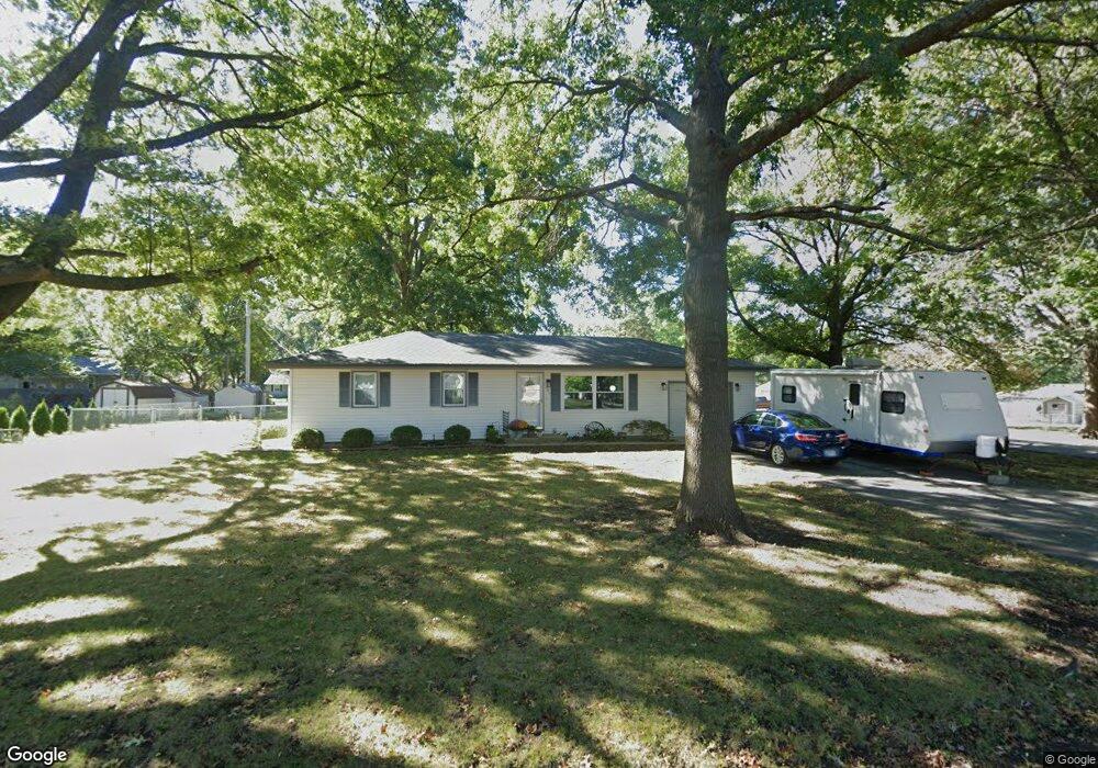
607 S 8th St Louisburg, KS 66053
Estimated Value: $241,000 - $270,000
3
Beds
2
Baths
984
Sq Ft
$255/Sq Ft
Est. Value
About This Home
This home is located at 607 S 8th St, Louisburg, KS 66053 and is currently estimated at $250,918, approximately $254 per square foot. 607 S 8th St is a home located in Miami County with nearby schools including Rockville Elementary School, Broadmoor Elementary School, and Louisburg Middle School.
Ownership History
Date
Name
Owned For
Owner Type
Purchase Details
Closed on
Aug 21, 2007
Sold by
Fraser James D and Fraser Lona D
Bought by
Fraser James D and Fraser Lona D
Current Estimated Value
Purchase Details
Closed on
Jul 14, 2005
Sold by
Cawby John M and Cawby Leah N
Bought by
Graves Lona D and Fraser James D
Home Financials for this Owner
Home Financials are based on the most recent Mortgage that was taken out on this home.
Original Mortgage
$98,000
Outstanding Balance
$57,076
Interest Rate
7.5%
Mortgage Type
Adjustable Rate Mortgage/ARM
Estimated Equity
$193,842
Create a Home Valuation Report for This Property
The Home Valuation Report is an in-depth analysis detailing your home's value as well as a comparison with similar homes in the area
Home Values in the Area
Average Home Value in this Area
Purchase History
| Date | Buyer | Sale Price | Title Company |
|---|---|---|---|
| Fraser James D | -- | Commonwealth Land Title Insu | |
| Graves Lona D | -- | Miami County Title Co Inc |
Source: Public Records
Mortgage History
| Date | Status | Borrower | Loan Amount |
|---|---|---|---|
| Open | Graves Lona D | $98,000 |
Source: Public Records
Tax History Compared to Growth
Tax History
| Year | Tax Paid | Tax Assessment Tax Assessment Total Assessment is a certain percentage of the fair market value that is determined by local assessors to be the total taxable value of land and additions on the property. | Land | Improvement |
|---|---|---|---|---|
| 2025 | $2,551 | $25,841 | $6,340 | $19,501 |
| 2024 | $2,551 | $24,852 | $5,589 | $19,263 |
| 2023 | $2,629 | $24,852 | $5,113 | $19,739 |
| 2022 | $2,465 | $21,516 | $4,770 | $16,746 |
| 2021 | $1,264 | $0 | $0 | $0 |
| 2020 | $2,232 | $0 | $0 | $0 |
| 2019 | $2,379 | $0 | $0 | $0 |
| 2018 | $2,251 | $0 | $0 | $0 |
| 2017 | $0 | $0 | $0 | $0 |
| 2016 | -- | $0 | $0 | $0 |
| 2015 | -- | $0 | $0 | $0 |
| 2014 | -- | $0 | $0 | $0 |
| 2013 | -- | $0 | $0 | $0 |
Source: Public Records
Map
Nearby Homes
- 902 S 10th St
- 904 S Rogers Rd
- 201 S 8th St
- 911 S 12th St
- 1206 Thomas Dr
- 25145 Metcalf St
- 0 Metcalf St
- 1200 S 13th St
- 1002 W Howard Place
- 0000 W 287th St
- 205 S Broadmoor St
- 208 Shoreline Dr
- 9960 K-68 Hwy
- Lot #1 N 3rd St
- 303 N Broadway St
- 9960 W K68 Hwy Hwy
- 0 Harvest Dr Unit HMS2564792
- 1103 N 2nd St E
- 1240 S 6th St E
- 1301 S 4th St E
- 804 S Mulberry St
- 606 S 9th St
- 808 S Mulberry St
- 804 S Doyle St
- 705 S Doyle St
- 702 S 9th St
- 708 S Mulberry St
- 706 S Doyle St
- 803 S Mulberry St
- 901 S Doyle St
- 707 S 8th St
- 801 S Mulberry St
- 603 S 9th St
- 701 S Doyle St
- 504 S 9th St
- 708 S 9th St
- 704 S Mulberry St
- 509 S 9th St
- 705 S Mulberry St
- 708 S 8th St