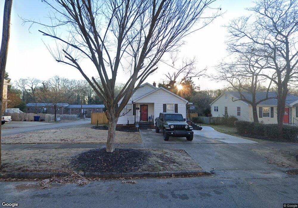
607 S Irwin Ave Spartanburg, SC 29306
Hampton Heights NeighborhoodEstimated Value: $149,000 - $164,000
3
Beds
1
Bath
1,024
Sq Ft
$155/Sq Ft
Est. Value
About This Home
This home is located at 607 S Irwin Ave, Spartanburg, SC 29306 and is currently estimated at $158,516, approximately $154 per square foot. 607 S Irwin Ave is a home located in Spartanburg County with nearby schools including Spartanburg High School, Spartanburg Preparatory School, and Montessori Academy.
Ownership History
Date
Name
Owned For
Owner Type
Purchase Details
Closed on
Apr 6, 2005
Sold by
Property Source Llc
Bought by
Byrd Brian K
Current Estimated Value
Home Financials for this Owner
Home Financials are based on the most recent Mortgage that was taken out on this home.
Original Mortgage
$67,150
Outstanding Balance
$34,675
Interest Rate
5.79%
Mortgage Type
Purchase Money Mortgage
Estimated Equity
$123,841
Purchase Details
Closed on
Aug 13, 2003
Sold by
Williams Dolly G and Lankford Rachel G
Bought by
Property Source Llc
Create a Home Valuation Report for This Property
The Home Valuation Report is an in-depth analysis detailing your home's value as well as a comparison with similar homes in the area
Home Values in the Area
Average Home Value in this Area
Purchase History
| Date | Buyer | Sale Price | Title Company |
|---|---|---|---|
| Byrd Brian K | $63,300 | Hanover Title Agency | |
| Property Source Llc | $48,000 | -- |
Source: Public Records
Mortgage History
| Date | Status | Borrower | Loan Amount |
|---|---|---|---|
| Open | Byrd Brian K | $67,150 |
Source: Public Records
Tax History Compared to Growth
Tax History
| Year | Tax Paid | Tax Assessment Tax Assessment Total Assessment is a certain percentage of the fair market value that is determined by local assessors to be the total taxable value of land and additions on the property. | Land | Improvement |
|---|---|---|---|---|
| 2025 | $1,060 | $3,043 | $481 | $2,562 |
| 2024 | $1,060 | $3,043 | $481 | $2,562 |
| 2023 | $1,060 | $3,043 | $481 | $2,562 |
| 2022 | $894 | $2,646 | $384 | $2,262 |
| 2021 | $894 | $2,646 | $384 | $2,262 |
| 2020 | $882 | $2,646 | $384 | $2,262 |
| 2019 | $882 | $2,646 | $384 | $2,262 |
| 2018 | $882 | $2,646 | $384 | $2,262 |
| 2017 | $798 | $2,301 | $408 | $1,893 |
| 2016 | $798 | $2,301 | $408 | $1,893 |
| 2015 | $767 | $2,301 | $408 | $1,893 |
| 2014 | $762 | $2,301 | $408 | $1,893 |
Source: Public Records
Map
Nearby Homes
- 134 Westover Dr
- 255 Edwards Ave
- 134 Edwards Ave
- 139 Carolina Ave
- 125 Westover Dr
- 483 Pinckney Ct
- 679 S Church St
- 860 S Church St
- 210 Sunny St
- 184 Home St
- 516 Pennwood Dr
- 121 Norris Ct
- 290 Hydrick St
- 813 S Liberty St
- 132 League St
- 815 S Liberty St
- 365 Amherst Dr
- 283 Hydrick St
- 265 Caulder Ave
- 266 Hydrick St
- 593 S Irwin Ave
- 611 S Irwin Ave
- 589 S Irwin Ave
- 120 Morningside Dr
- 120 Morningside Dr Unit A
- 120 Morningside Dr Unit A
- 120 Morningside Dr Unit B
- 120 Morningside Dr Unit C
- 617 S Irwin Ave
- 122 Morningside Dr
- 116 Morningside Dr Unit A
- 116 Morningside Dr Unit B
- 187 Morningside Dr
- 118 Morningside Dr
- 118 Morningside Dr Unit D
- 118 Morningside Dr Unit B
- 118 Morningside Dr Unit C
- 118 Morningside Dr Unit A
- 114 Morningside Dr Unit D
- 114 Morningside Dr Unit B