607 Sutton Ln Lincolnton, NC 28092
Estimated Value: $249,000 - $280,164
2
Beds
2
Baths
1,048
Sq Ft
$248/Sq Ft
Est. Value
About This Home
This home is located at 607 Sutton Ln, Lincolnton, NC 28092 and is currently estimated at $259,541, approximately $247 per square foot. 607 Sutton Ln is a home with nearby schools including Love Memorial Elementary School, West Lincoln Middle, and West Lincoln High School.
Ownership History
Date
Name
Owned For
Owner Type
Purchase Details
Closed on
Jan 23, 2014
Sold by
Sutton Travis S and Sutton Lauren M
Bought by
Sutton Lauren E and Sutton Spencer M
Current Estimated Value
Home Financials for this Owner
Home Financials are based on the most recent Mortgage that was taken out on this home.
Original Mortgage
$96,300
Interest Rate
4.44%
Mortgage Type
Construction
Create a Home Valuation Report for This Property
The Home Valuation Report is an in-depth analysis detailing your home's value as well as a comparison with similar homes in the area
Home Values in the Area
Average Home Value in this Area
Purchase History
| Date | Buyer | Sale Price | Title Company |
|---|---|---|---|
| Sutton Lauren E | -- | None Available |
Source: Public Records
Mortgage History
| Date | Status | Borrower | Loan Amount |
|---|---|---|---|
| Closed | Sutton Lauren E | $96,300 |
Source: Public Records
Tax History Compared to Growth
Tax History
| Year | Tax Paid | Tax Assessment Tax Assessment Total Assessment is a certain percentage of the fair market value that is determined by local assessors to be the total taxable value of land and additions on the property. | Land | Improvement |
|---|---|---|---|---|
| 2025 | $1,561 | $227,703 | $24,179 | $203,524 |
| 2024 | $1,541 | $227,703 | $24,179 | $203,524 |
| 2023 | $1,536 | $227,703 | $24,179 | $203,524 |
| 2022 | $1,058 | $126,745 | $18,548 | $108,197 |
| 2021 | $1,058 | $126,745 | $18,548 | $108,197 |
| 2020 | $918 | $126,745 | $18,548 | $108,197 |
| 2019 | $918 | $126,745 | $18,548 | $108,197 |
| 2018 | $910 | $109,979 | $17,042 | $92,937 |
| 2017 | $799 | $92,937 | $0 | $92,937 |
| 2016 | $799 | $108,604 | $15,667 | $92,937 |
| 2015 | $869 | $108,604 | $15,667 | $92,937 |
| 2014 | -- | $0 | $0 | $0 |
Source: Public Records
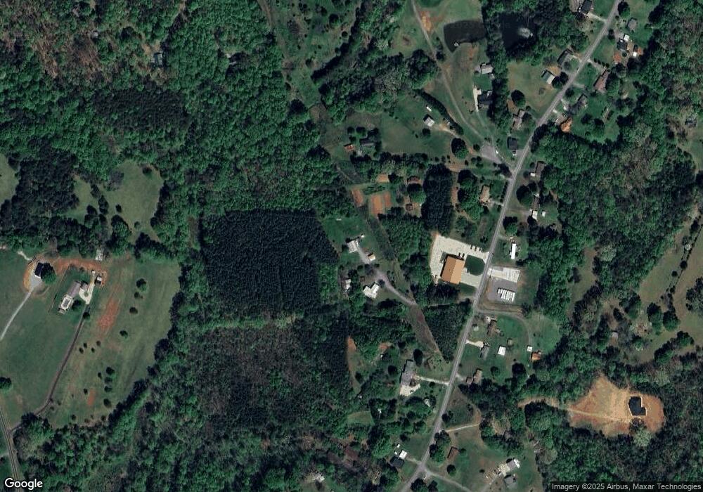
Map
Nearby Homes
- 2913 & 2901 Wesleyan Church Rd
- 2641 Southside Rd
- 2988 Wesleyan Church Rd
- 155 Golden Aster Dr
- 3156 Long Shoals Rd
- 2503 Tin Mine Rd
- 3076 Gates Rd
- 2319 Tin Mine Rd
- 170 Whitesides Dr
- TBD Southfork Rd
- 000 Southside Rd
- 864 Calloway Rd
- 511 Colorado Trail
- 3347 & 3349 Gastonia Hwy
- 238 Victory Grove Church Rd
- 2452 Salem Church Rd
- 584 Southside Church Rd
- 1433 Poovey Hill Ln
- 00 Smith Farm Rd
- 1218 W Highview Ln
- 599 Sutton Ln
- 602 Sutton Ln
- 2700 Long Shoals Rd
- 363 Golden Pond Ct
- 2790 Long Shoals Rd
- 2704 Long Shoals Rd
- 371 Golden Pond Ct
- 2739 Long Shoals Rd
- 2725 Long Shoals Rd
- 2759 Long Shoals Rd
- 2771 Long Shoals Rd
- 2785 Long Shoals Rd
- 2672 Long Shoals Rd
- 2713 Long Shoals Rd
- 2699 Long Shoals Rd
- 364 Golden Pond Ct
- 2767 Long Shoals Rd
- 2664 Long Shoals Rd
- 493 Polo Trail
- 2830 Long Shoals Rd