Estimated Value: $1,793,652
--
Bed
--
Bath
11,230
Sq Ft
$160/Sq Ft
Est. Value
About This Home
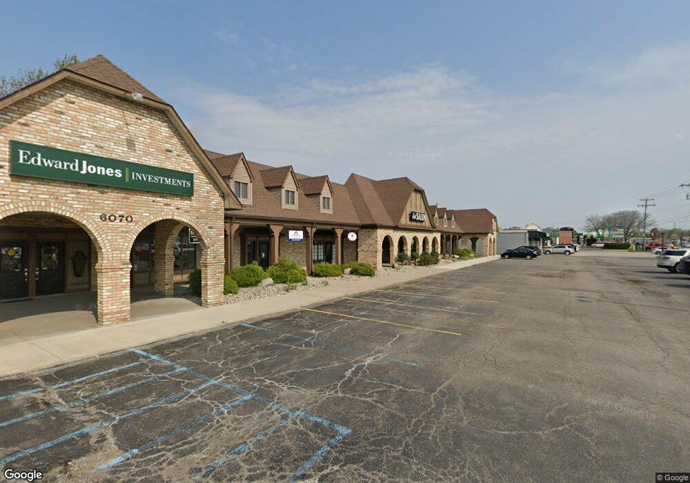
This home is located at 6070 Fenton Rd, Flint, MI 48507 and is currently estimated at $1,793,652, approximately $159 per square foot. 6070 Fenton Rd is a home located in Genesee County with nearby schools including Anderson Elementary School, McGrath Elementary School, and Grand Blanc West Middle School.
Ownership History
Date
Name
Owned For
Owner Type
Purchase Details
Closed on
Oct 30, 2020
Sold by
Kingsley Square Llc
Bought by
Pleasant Square Llc
Current Estimated Value
Purchase Details
Closed on
Apr 26, 2017
Sold by
Yosheff Paul and Yosheff Lyba
Bought by
Kingsley Squre Llc
Purchase Details
Closed on
Oct 30, 2001
Sold by
Auker Homes
Bought by
Yosheff Paul and Yosheff Luba
Create a Home Valuation Report for This Property
The Home Valuation Report is an in-depth analysis detailing your home's value as well as a comparison with similar homes in the area
Home Values in the Area
Average Home Value in this Area
Purchase History
| Date | Buyer | Sale Price | Title Company |
|---|---|---|---|
| Pleasant Square Llc | $890,000 | Mason Burgess Title | |
| Kingsley Squre Llc | $600,000 | Devon Title Agency | |
| Yosheff Paul | $2,100,000 | Cislo Title Company |
Source: Public Records
Tax History Compared to Growth
Tax History
| Year | Tax Paid | Tax Assessment Tax Assessment Total Assessment is a certain percentage of the fair market value that is determined by local assessors to be the total taxable value of land and additions on the property. | Land | Improvement |
|---|---|---|---|---|
| 2025 | $19,617 | $366,500 | $0 | $0 |
| 2024 | $15,235 | $352,000 | $0 | $0 |
| 2023 | $15,013 | $346,500 | $0 | $0 |
| 2022 | $18,991 | $349,100 | $0 | $0 |
| 2021 | $18,569 | $330,600 | $0 | $0 |
| 2020 | $14,198 | $328,300 | $0 | $0 |
| 2019 | $13,980 | $321,700 | $0 | $0 |
| 2018 | $17,680 | $320,300 | $0 | $0 |
| 2017 | $16,271 | $315,500 | $0 | $0 |
| 2016 | $16,007 | $306,600 | $0 | $0 |
| 2015 | $15,354 | $304,800 | $0 | $0 |
| 2014 | $12,075 | $287,500 | $0 | $0 |
| 2012 | -- | $312,400 | $312,400 | $0 |
Source: Public Records
Map
Nearby Homes
- 1037 E Hill Rd
- 1075 E Hill Rd
- 1195 Alton Ave
- 1096 Harding Dr
- 6137 Pebbleshire Dr
- 1329 Arrowwood Ln
- 1283 Woodnoll Dr
- 1226 Harding Dr
- 0000 Mckinley Blvd
- 1045 Leisure Dr Unit 7
- 00 Mckinley Blvd
- 000 Mckinley Blvd
- 1130 Leisure Dr Unit 21
- 00 Coolidge Dr
- 000 Coolidge Dr
- 0000 Coolidge Dr
- 1380 Sunset Blvd
- 5400 Ali Dr
- 1142 Linus St
- 1329 Rollins St
- 1040 Alton Ave
- 1030 Alton Ave
- 6020 Fenton Rd
- 1028 Kingston Ave
- 1036 Kingston Ave
- 1044 Kingston Ave
- 1062 Alton Ave
- 6010 Fenton Rd
- 1055 Alton Ave
- 1016 Kennebec Rd
- 1070 Alton Ave
- 1062 Kingston Ave
- 6099 Fenton Rd
- 1033 Kingston Ave
- 1034 Woodworth Dr
- 1033 Kingston Ave
- 1039 Kennebec Rd
- 6120 Fenton Rd
- 1071 Alton Ave
- 1043 Kingston Ave