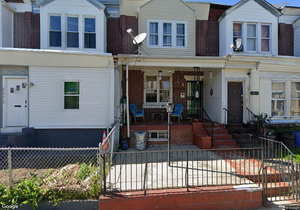
6071 Allman St Philadelphia, PA 19142
Kingsessing NeighborhoodEstimated Value: $81,000 - $103,499
2
Beds
1
Bath
960
Sq Ft
$100/Sq Ft
Est. Value
About This Home
This home is located at 6071 Allman St, Philadelphia, PA 19142 and is currently estimated at $95,625, approximately $99 per square foot. 6071 Allman St is a home located in Philadelphia County with nearby schools including Mitchell Elementary, John Bartram High School, and Independence Charter School West.
Ownership History
Date
Name
Owned For
Owner Type
Purchase Details
Closed on
Apr 26, 2021
Sold by
Smith George E
Bought by
Wade Vanessa Lynn
Current Estimated Value
Purchase Details
Closed on
Nov 9, 2000
Sold by
Philadelphia Housing Development Corp
Bought by
Mcmillan Brenda
Home Financials for this Owner
Home Financials are based on the most recent Mortgage that was taken out on this home.
Original Mortgage
$9,000
Interest Rate
7.81%
Create a Home Valuation Report for This Property
The Home Valuation Report is an in-depth analysis detailing your home's value as well as a comparison with similar homes in the area
Home Values in the Area
Average Home Value in this Area
Purchase History
| Date | Buyer | Sale Price | Title Company |
|---|---|---|---|
| Wade Vanessa Lynn | -- | None Listed On Document | |
| Mcmillan Brenda | $10,000 | First American Title Ins Co |
Source: Public Records
Mortgage History
| Date | Status | Borrower | Loan Amount |
|---|---|---|---|
| Previous Owner | Mcmillan Brenda | $9,000 | |
| Closed | Mcmillan Brenda | $72,000 |
Source: Public Records
Tax History Compared to Growth
Tax History
| Year | Tax Paid | Tax Assessment Tax Assessment Total Assessment is a certain percentage of the fair market value that is determined by local assessors to be the total taxable value of land and additions on the property. | Land | Improvement |
|---|---|---|---|---|
| 2025 | $1,065 | $88,100 | $17,620 | $70,480 |
| 2024 | $1,065 | $88,100 | $17,620 | $70,480 |
| 2023 | $1,065 | $76,100 | $15,220 | $60,880 |
| 2022 | $844 | $76,100 | $15,220 | $60,880 |
| 2021 | $844 | $0 | $0 | $0 |
| 2020 | $844 | $0 | $0 | $0 |
| 2019 | $780 | $0 | $0 | $0 |
| 2018 | $573 | $0 | $0 | $0 |
| 2017 | $573 | $0 | $0 | $0 |
| 2016 | $573 | $0 | $0 | $0 |
| 2015 | $3,996 | $0 | $0 | $0 |
| 2014 | -- | $40,900 | $3,903 | $36,997 |
| 2012 | -- | $4,800 | $654 | $4,146 |
Source: Public Records
Map
Nearby Homes
- 6068 Regent St
- 6079 Regent St
- 6076 Chester Ave
- 6082 Chester Ave
- 6038 Chester Ave
- 6034 Regent St
- 6041 Trinity St
- 6061 Reinhard St
- 6031 Reinhard St
- 6006 Kingsessing Ave
- 6109 Upland St
- 6148 Kingsessing Ave
- 6072 Upland St
- 6154 Kingsessing Ave
- 6001 Reinhard St
- 6124 Upland St
- 1927 S Salford St
- 6148 Upland St
- 6083 Upland St
- 6167 Upland St