6079 Curtice Rd Eaton Rapids, MI 48827
Estimated Value: $258,187 - $441,000
4
Beds
1
Bath
2,060
Sq Ft
$169/Sq Ft
Est. Value
About This Home
This home is located at 6079 Curtice Rd, Eaton Rapids, MI 48827 and is currently estimated at $347,797, approximately $168 per square foot. 6079 Curtice Rd is a home located in Ingham County with nearby schools including Mason High School.
Ownership History
Date
Name
Owned For
Owner Type
Purchase Details
Closed on
Jun 13, 2014
Sold by
Hanthorne Jennette
Bought by
Cantrell Christopher and Hanthorne Jennette
Current Estimated Value
Home Financials for this Owner
Home Financials are based on the most recent Mortgage that was taken out on this home.
Original Mortgage
$44,000
Outstanding Balance
$13,700
Interest Rate
4.18%
Mortgage Type
New Conventional
Estimated Equity
$334,097
Purchase Details
Closed on
May 4, 2010
Sold by
Hanthorne John L and Hanthorne Gloria
Bought by
Hanthorne John L and Hanthorne Gloria
Create a Home Valuation Report for This Property
The Home Valuation Report is an in-depth analysis detailing your home's value as well as a comparison with similar homes in the area
Home Values in the Area
Average Home Value in this Area
Purchase History
| Date | Buyer | Sale Price | Title Company |
|---|---|---|---|
| Cantrell Christopher | -- | Suprrior Title | |
| Hanthorne John L | -- | None Available |
Source: Public Records
Mortgage History
| Date | Status | Borrower | Loan Amount |
|---|---|---|---|
| Open | Cantrell Christopher | $44,000 |
Source: Public Records
Tax History
| Year | Tax Paid | Tax Assessment Tax Assessment Total Assessment is a certain percentage of the fair market value that is determined by local assessors to be the total taxable value of land and additions on the property. | Land | Improvement |
|---|---|---|---|---|
| 2025 | $2,611 | $110,700 | $50,200 | $60,500 |
| 2024 | $2,417 | $106,700 | $50,000 | $56,700 |
| 2023 | $2,417 | $85,600 | $31,700 | $53,900 |
| 2022 | $2,302 | $78,500 | $35,900 | $42,600 |
| 2021 | $2,268 | $79,400 | $0 | $79,400 |
| 2020 | $2,670 | $76,500 | $38,700 | $37,800 |
| 2019 | $2,596 | $60,500 | $22,600 | $37,900 |
| 2018 | $2,098 | $56,100 | $22,600 | $33,500 |
| 2017 | $1,834 | $56,100 | $22,600 | $33,500 |
| 2016 | -- | $53,900 | $22,600 | $31,300 |
| 2015 | -- | $52,600 | $45,140 | $7,460 |
| 2014 | -- | $50,700 | $45,140 | $5,560 |
Source: Public Records
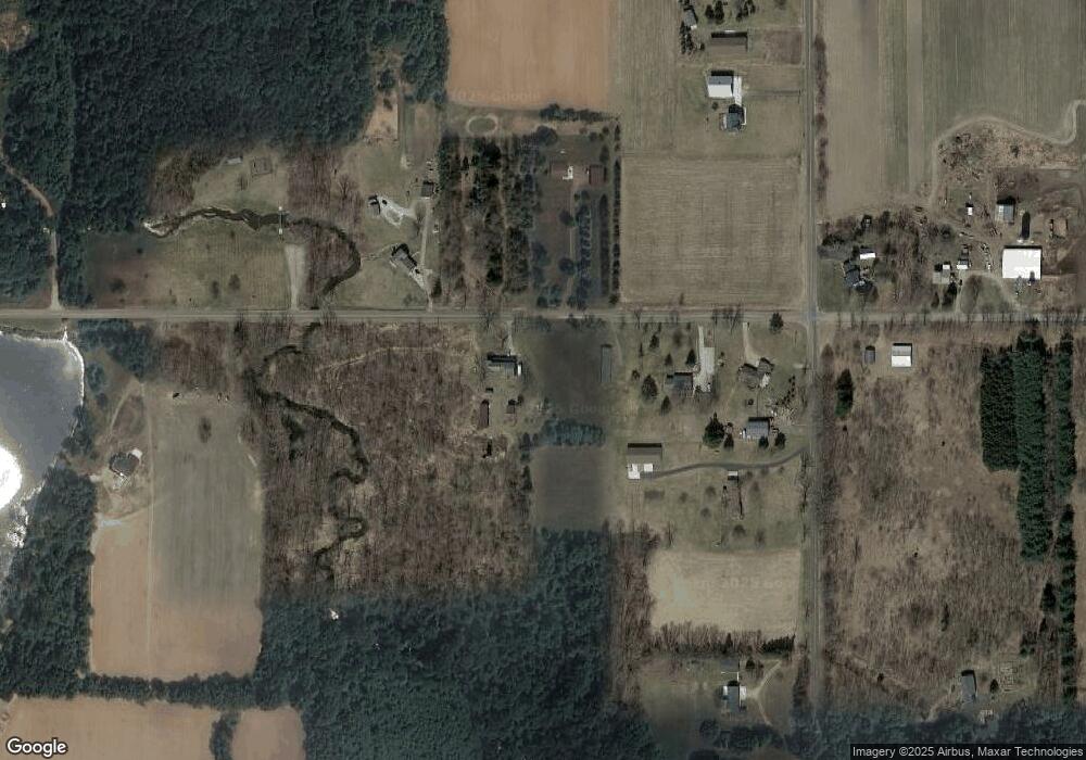
Map
Nearby Homes
- 6401 Curtice Rd
- 11249 Columbia Hwy
- 943 S Michigan Rd
- 4939 W Columbia Rd
- 1140 N Smith Rd
- 4789 Nichols Rd
- 9604 Island Hwy
- 0 S Aurelius Rd Unit 292647
- 0 Eifert Rd
- Parcel H Dawn Marie Ln
- Parcel B Dawn Marie Ln
- 380 Spicetree Ln Unit 48
- 376 Spicetree Ln Unit 47
- 6411 Pleasant River Dr
- 6454 Pleasant River Dr
- 49 Lilac Ln Unit 5
- 1463 N Onondaga Rd
- Vl Gale Rd
- 0 Barnes Rd Unit 294503
- 0 Barnes Rd Unit 294514
Your Personal Tour Guide
Ask me questions while you tour the home.