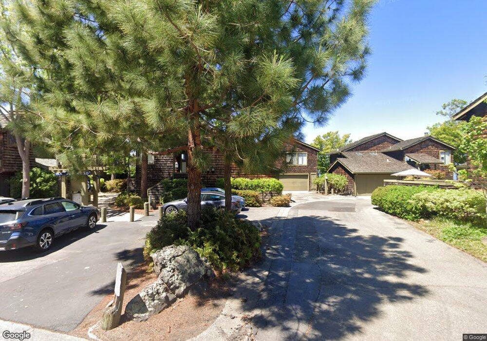
608 Harbor Rd Alameda, CA 94502
Harbor Bay/Bay Farm NeighborhoodEstimated Value: $927,345 - $1,056,000
2
Beds
2
Baths
1,437
Sq Ft
$689/Sq Ft
Est. Value
About This Home
This home is located at 608 Harbor Rd, Alameda, CA 94502 and is currently estimated at $990,086, approximately $688 per square foot. 608 Harbor Rd is a home located in Alameda County with nearby schools including Bay Farm School, Lincoln Middle School, and Alameda High School.
Ownership History
Date
Name
Owned For
Owner Type
Purchase Details
Closed on
Mar 25, 2019
Sold by
Knight Morgan F and Knight Dawn B
Bought by
Blease Darryl A and Rooney Gemma E
Current Estimated Value
Home Financials for this Owner
Home Financials are based on the most recent Mortgage that was taken out on this home.
Original Mortgage
$726,525
Outstanding Balance
$637,438
Interest Rate
4.3%
Mortgage Type
New Conventional
Estimated Equity
$352,648
Purchase Details
Closed on
Jan 30, 2018
Sold by
L & E Properties
Bought by
Knight Morgan F and Knight Dawn B
Home Financials for this Owner
Home Financials are based on the most recent Mortgage that was taken out on this home.
Original Mortgage
$640,000
Interest Rate
3.87%
Mortgage Type
Adjustable Rate Mortgage/ARM
Purchase Details
Closed on
Nov 23, 2012
Sold by
Lenert Sigrid V
Bought by
L & E Properties
Purchase Details
Closed on
May 30, 1996
Sold by
Lenert Sigrid V
Bought by
Lenert Sigrid and The Sigrid V Lenert Family Trust
Create a Home Valuation Report for This Property
The Home Valuation Report is an in-depth analysis detailing your home's value as well as a comparison with similar homes in the area
Home Values in the Area
Average Home Value in this Area
Purchase History
| Date | Buyer | Sale Price | Title Company |
|---|---|---|---|
| Blease Darryl A | $910,000 | Placer Title Company | |
| Knight Morgan F | $800,000 | Orange Coast Title Company O | |
| L & E Properties | -- | None Available | |
| Lenert Sigrid | -- | None Available | |
| Lenert Sigrid | -- | -- |
Source: Public Records
Mortgage History
| Date | Status | Borrower | Loan Amount |
|---|---|---|---|
| Open | Blease Darryl A | $726,525 | |
| Previous Owner | Knight Morgan F | $640,000 |
Source: Public Records
Tax History
| Year | Tax Paid | Tax Assessment Tax Assessment Total Assessment is a certain percentage of the fair market value that is determined by local assessors to be the total taxable value of land and additions on the property. | Land | Improvement |
|---|---|---|---|---|
| 2025 | $13,947 | $1,008,104 | $304,531 | $710,573 |
| 2024 | $13,947 | $988,202 | $298,560 | $696,642 |
| 2023 | $13,395 | $975,692 | $292,707 | $682,985 |
| 2022 | $13,088 | $949,564 | $286,969 | $669,595 |
| 2021 | $12,756 | $930,808 | $281,342 | $656,466 |
| 2020 | $12,601 | $928,200 | $278,460 | $649,740 |
| 2019 | $11,103 | $816,000 | $244,800 | $571,200 |
| 2018 | $6,525 | $432,900 | $129,870 | $303,030 |
| 2017 | $6,243 | $424,411 | $127,323 | $297,088 |
| 2016 | $6,243 | $416,091 | $124,827 | $291,264 |
| 2015 | $6,220 | $409,843 | $122,953 | $286,890 |
| 2014 | $5,954 | $401,815 | $120,544 | $281,271 |
Source: Public Records
Map
Nearby Homes
- 2959 Sea View Pkwy
- 18 Applegate Way
- 2819 Bayview Dr
- 114 Fundy Bay
- 3171 Bayview Dr
- 608 Centre Ct
- 36 Bannister Way
- 1100 Park Ave
- 641 Centre Ct
- 1037 Via Bonita
- 840 Oak St
- 954 Park St
- 1047 Fontana Dr
- 976 Park St
- 2106 Otis Dr Unit A
- 3032 Linda Vista
- 325 Kitty Hawk Rd Unit 207
- 325 Kitty Hawk Rd Unit 304
- 2031 Otis Dr Unit H
- 2312 San Antonio Ave
- 604 Harbor Rd
- 601 Harbor Rd
- 415 Harbor Rd
- 405 Harbor Rd
- 409 Harbor Rd
- 2710 Sea View Pkwy
- 2750 Sea View Pkwy
- 2756 Sea View Pkwy
- 709 Harbor Rd
- 703 Harbor Rd
- 30 Aughinbaugh Way
- 2760 Sea View Pkwy
- 2780 Sea View Pkwy
- 105 Brunswick Rd
- 201 Brunswick Rd
- 202 Harbor Rd
- 12 Aughinbaugh Way
- 611 Harbor Rd
- 806 Harbor Rd
- 206 Harbor Rd