Estimated Value: $336,000 - $567,000
--
Bed
--
Bath
1,420
Sq Ft
$289/Sq Ft
Est. Value
About This Home
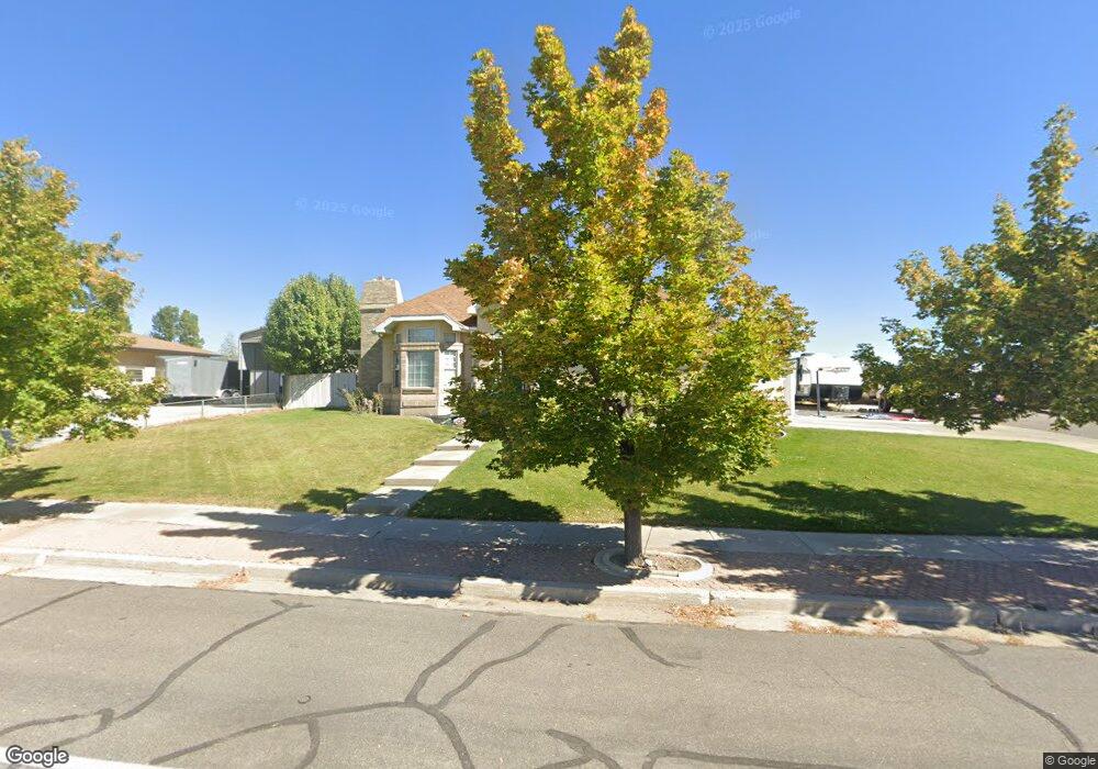
This home is located at 608 Homestead Blvd, Price, UT 84501 and is currently estimated at $409,859, approximately $288 per square foot. 608 Homestead Blvd is a home located in Carbon County with nearby schools including Castle Heights School, Mont Harmon Junior High School, and Carbon High School.
Ownership History
Date
Name
Owned For
Owner Type
Purchase Details
Closed on
Jun 24, 2014
Sold by
Torres Bueno Patsy and Torres Lennie Ben
Bought by
Mills Gerald G
Current Estimated Value
Home Financials for this Owner
Home Financials are based on the most recent Mortgage that was taken out on this home.
Original Mortgage
$176,248
Outstanding Balance
$133,919
Interest Rate
4.25%
Mortgage Type
FHA
Estimated Equity
$275,941
Create a Home Valuation Report for This Property
The Home Valuation Report is an in-depth analysis detailing your home's value as well as a comparison with similar homes in the area
Home Values in the Area
Average Home Value in this Area
Purchase History
| Date | Buyer | Sale Price | Title Company |
|---|---|---|---|
| Mills Gerald G | -- | Professional Title Services |
Source: Public Records
Mortgage History
| Date | Status | Borrower | Loan Amount |
|---|---|---|---|
| Open | Mills Gerald G | $176,248 |
Source: Public Records
Tax History Compared to Growth
Tax History
| Year | Tax Paid | Tax Assessment Tax Assessment Total Assessment is a certain percentage of the fair market value that is determined by local assessors to be the total taxable value of land and additions on the property. | Land | Improvement |
|---|---|---|---|---|
| 2025 | $2,619 | $215,547 | $13,634 | $201,913 |
| 2024 | $2,371 | $197,437 | $12,788 | $184,649 |
| 2023 | $1,914 | $169,928 | $12,014 | $157,914 |
| 2022 | $2,004 | $159,664 | $9,989 | $149,675 |
| 2021 | $1,719 | $212,462 | $15,262 | $197,200 |
| 2020 | $1,684 | $104,504 | $0 | $0 |
| 2019 | $1,496 | $97,344 | $0 | $0 |
| 2018 | $1,468 | $97,462 | $0 | $0 |
| 2017 | $1,450 | $97,462 | $0 | $0 |
| 2016 | $1,308 | $97,462 | $0 | $0 |
| 2015 | $1,308 | $97,462 | $0 | $0 |
| 2014 | $1,299 | $97,462 | $0 | $0 |
| 2013 | $1,231 | $91,447 | $0 | $0 |
Source: Public Records
Map
Nearby Homes
- 546 Windsor Rd
- 703 N Windsor Cir
- 1689 Eastridge Rd
- 639 N 1550 E
- 1827 E 8th N Unit 79
- 1841 E 8th N Unit 78
- 831 N 1820 E Unit 66
- 1830 E 840 N Unit 80
- 1855 E 8th N Unit 77
- 1840 E 840 N Unit 81
- 1858 E 840 N Unit 82
- 688 Birch Cir
- 1829 E 840 N Unit 87
- 1843 E 840 N Unit 86
- 879 N 1820 E Unit 69
- 1857 E 840 N Unit 85
- 824 N 1880 E Unit 74
- 1871 E 840 N Unit 84
- 838 N 1880 E Unit 73
- 1860 E 880 N
- 608 Homestead Blvd
- 628 Homestead Blvd
- 1716 Sagewood Rd
- 1685 Sagewood Rd
- 1685 Sagewood Rd
- 1685 Sagewood Rd
- 1685 Sagewood Rd
- 1685 Sagewood Rd
- 1685 Sagewood Rd
- 1685 Sagewood Rd
- 1685 Sagewood Rd
- 625 Homestead Blvd
- 1686 Sagewood Rd
- 580 Homestead Blvd
- 668 Homestead Blvd
- 645 Homestead Blvd
- 1665 Sagewood Rd
- 575 Homestead Blvd
- 1666 Sagewood Rd
- 1660 Warwick Cir