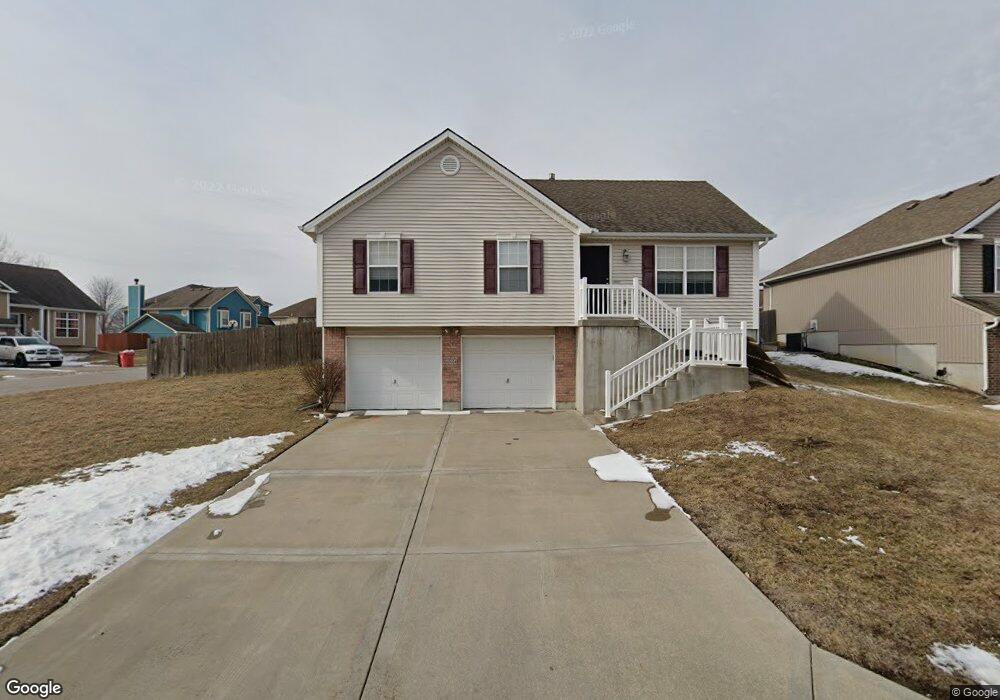
608 NW Par Dr Grain Valley, MO 64029
Estimated Value: $305,000 - $330,000
3
Beds
2
Baths
1,234
Sq Ft
$254/Sq Ft
Est. Value
About This Home
This home is located at 608 NW Par Dr, Grain Valley, MO 64029 and is currently estimated at $313,293, approximately $253 per square foot. 608 NW Par Dr is a home located in Jackson County with nearby schools including Grain Valley High School.
Ownership History
Date
Name
Owned For
Owner Type
Purchase Details
Closed on
Dec 30, 2010
Sold by
T E Woods Construction Inc
Bought by
Powell William J and Powell Melissa L
Current Estimated Value
Home Financials for this Owner
Home Financials are based on the most recent Mortgage that was taken out on this home.
Original Mortgage
$156,476
Outstanding Balance
$104,376
Interest Rate
4.41%
Mortgage Type
New Conventional
Estimated Equity
$208,917
Create a Home Valuation Report for This Property
The Home Valuation Report is an in-depth analysis detailing your home's value as well as a comparison with similar homes in the area
Home Values in the Area
Average Home Value in this Area
Purchase History
| Date | Buyer | Sale Price | Title Company |
|---|---|---|---|
| Powell William J | -- | First American Title |
Source: Public Records
Mortgage History
| Date | Status | Borrower | Loan Amount |
|---|---|---|---|
| Open | Powell William J | $156,476 |
Source: Public Records
Tax History Compared to Growth
Tax History
| Year | Tax Paid | Tax Assessment Tax Assessment Total Assessment is a certain percentage of the fair market value that is determined by local assessors to be the total taxable value of land and additions on the property. | Land | Improvement |
|---|---|---|---|---|
| 2025 | $4,359 | $42,214 | $6,483 | $35,731 |
| 2024 | $4,196 | $52,923 | $7,224 | $45,699 |
| 2023 | $4,196 | $52,923 | $8,047 | $44,876 |
| 2022 | $2,894 | $31,920 | $8,322 | $23,598 |
| 2021 | $2,826 | $31,920 | $8,322 | $23,598 |
| 2020 | $2,871 | $31,986 | $8,322 | $23,664 |
| 2019 | $2,812 | $31,986 | $8,322 | $23,664 |
| 2018 | $1,674,267 | $29,739 | $4,639 | $25,100 |
| 2017 | $2,798 | $29,739 | $4,639 | $25,100 |
| 2016 | $2,727 | $28,994 | $6,878 | $22,116 |
| 2014 | $2,638 | $27,835 | $6,430 | $21,405 |
Source: Public Records
Map
Nearby Homes
- 704 NW Eagle Dr
- 605 NW Silverstone Cir
- 706 NW Green Dr
- 1007 NW Long Dr
- 1206 NW Baytree Dr
- 1211 NW Scenic Dr
- 1208 NW Golfview Dr
- 1235 NW Ashley Ln
- 408 Front St
- 512 Broadway St
- 518 South St
- 618 NW Thieme St
- 2 Ooida Dr
- 805 NW Thieme St
- 207 Pebblebrook St
- 209 SW Cross Creek Dr
- 708 Pavillion Dr
- 1401 NW Hickory Ridge Ct
- 1403 NW Burr Oak Ct
- 2601 NE Wheatley Dr
- 610 NW Par Dr
- 607 NW Par Dr
- 609 NW Par Dr
- 700 NW Par Dr
- 604 NW Par Ct
- 951 NW Long Dr
- 611 NW Par Dr
- 931 NW Long Dr
- 702 NW Par Dr
- 613 NW Albatross Dr
- 615 NW Albatross Dr
- 953 NW Long Dr
- 701 NW Par Dr
- 929 NW Long Dr
- 610 NW Eagle Dr
- 617 NW Albatross Dr
- 602 NW Par Ct
- 704 NW Par Dr
- 608 NW Eagle Dr
- 703 NW Par Dr