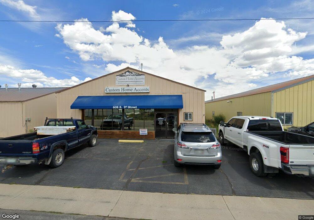
608 S 9th St Gunnison, CO 81230
Estimated Value: $544,294
--
Bed
2
Baths
4,000
Sq Ft
$136/Sq Ft
Est. Value
About This Home
This home is located at 608 S 9th St, Gunnison, CO 81230 and is currently estimated at $544,294, approximately $136 per square foot. 608 S 9th St is a home located in Gunnison County with nearby schools including Gunnison Elementary School, Gunnison Middle School, and Crested Butte Community School.
Ownership History
Date
Name
Owned For
Owner Type
Purchase Details
Closed on
Feb 3, 2021
Sold by
H & H Investments Llc
Bought by
S J Coleman Properties Llc
Current Estimated Value
Home Financials for this Owner
Home Financials are based on the most recent Mortgage that was taken out on this home.
Original Mortgage
$315,000
Outstanding Balance
$27,840
Interest Rate
2.6%
Mortgage Type
Commercial
Estimated Equity
$516,454
Purchase Details
Closed on
Jun 3, 2002
Sold by
Hawkins Harry L Trust
Bought by
H & H Investments Llc
Purchase Details
Closed on
May 17, 2002
Sold by
Hawkins Tim
Bought by
H & H Investments Llc
Purchase Details
Closed on
Nov 11, 1998
Sold by
Hawkins Harry L
Bought by
Hawkins Harry L Trust
Create a Home Valuation Report for This Property
The Home Valuation Report is an in-depth analysis detailing your home's value as well as a comparison with similar homes in the area
Home Values in the Area
Average Home Value in this Area
Purchase History
| Date | Buyer | Sale Price | Title Company |
|---|---|---|---|
| S J Coleman Properties Llc | $350,000 | Gunnison County Abstract Co | |
| H & H Investments Llc | -- | -- | |
| H & H Investments Llc | -- | -- | |
| Hawkins Harry L Trust | -- | -- |
Source: Public Records
Mortgage History
| Date | Status | Borrower | Loan Amount |
|---|---|---|---|
| Open | S J Coleman Properties Llc | $315,000 |
Source: Public Records
Tax History Compared to Growth
Tax History
| Year | Tax Paid | Tax Assessment Tax Assessment Total Assessment is a certain percentage of the fair market value that is determined by local assessors to be the total taxable value of land and additions on the property. | Land | Improvement |
|---|---|---|---|---|
| 2024 | $5,093 | $106,820 | $57,960 | $48,860 |
| 2023 | $5,093 | $98,450 | $57,960 | $40,490 |
| 2022 | $6,492 | $109,410 | $33,860 | $75,550 |
| 2021 | $5,685 | $109,410 | $33,860 | $75,550 |
| 2020 | $5,091 | $92,430 | $28,590 | $63,840 |
| 2019 | $4,975 | $92,430 | $28,590 | $63,840 |
| 2018 | $5,729 | $103,640 | $22,270 | $81,370 |
| 2017 | $5,801 | $103,640 | $22,270 | $81,370 |
| 2016 | $5,262 | $94,360 | $20,640 | $73,720 |
| 2015 | $1,991 | $94,360 | $20,640 | $73,720 |
| 2014 | $1,991 | $70,620 | $21,290 | $49,330 |
Source: Public Records
Map
Nearby Homes
- 000 Us Highway 50
- Lots 13-16 Us Highway 50 Frontage Rd
- 700 U S 50
- 308 S 11th St Unit 1
- 706 Andrew Ln
- TBD S 6th St
- 215 S 7th St
- 314 S 5th St
- 718 W New York Ave
- 302 S 5th St
- 288 S 5th St
- 1412 W Gunnison Ave
- 114 N 8th St
- 109 N 7th St
- 1208 W Tomichi Ave Unit 4
- 105 Ouray Ln Unit E
- 100 Ouray Ln Unit D
- 301 S 2nd St Unit 68
- 1314 W Tomichi Ave Unit 19
- 1310 W Tomichi Ave Unit 23
- 620 S 9th St
- 9th Street Unit 2 A
- 9th Street
- 600 W Us Highway 50
- 555 S 10th St
- S 10th Unit South 10th & Evans
- S 10th Unit D
- S 10th Unit C
- S 10th Unit A
- S 10th Unit B
- S 10th Unit G
- S 10th Unit H
- S 10th Unit E
- S 10th Unit F
- S 10th
- Lots 13-16 Highway 50 Frontage Rd
- TBD Us Highway 50 Frontage Rd
- W Bidwell St
- 881 W Bidwell Ave
- 1005 Rio Grande Ave