608 S Whitmore Rd Hastings, MI 49058
Estimated Value: $228,000 - $327,000
3
Beds
3
Baths
2,504
Sq Ft
$113/Sq Ft
Est. Value
About This Home
This home is located at 608 S Whitmore Rd, Hastings, MI 49058 and is currently estimated at $284,068, approximately $113 per square foot. 608 S Whitmore Rd is a home located in Barry County with nearby schools including Hastings High School.
Ownership History
Date
Name
Owned For
Owner Type
Purchase Details
Closed on
Aug 20, 2018
Sold by
Leep Mark and Leep Rhonda
Bought by
Highway Scott A
Current Estimated Value
Home Financials for this Owner
Home Financials are based on the most recent Mortgage that was taken out on this home.
Original Mortgage
$112,917
Outstanding Balance
$98,595
Interest Rate
4.75%
Mortgage Type
FHA
Estimated Equity
$185,473
Purchase Details
Closed on
May 12, 2006
Sold by
Wells Fargo Bank Na
Bought by
Wells Fargo Bank Na
Purchase Details
Closed on
Mar 30, 2006
Sold by
Havens Doug
Bought by
Wells Fargo Bank Na
Create a Home Valuation Report for This Property
The Home Valuation Report is an in-depth analysis detailing your home's value as well as a comparison with similar homes in the area
Home Values in the Area
Average Home Value in this Area
Purchase History
| Date | Buyer | Sale Price | Title Company |
|---|---|---|---|
| Highway Scott A | $115,000 | None Available | |
| Wells Fargo Bank Na | -- | None Available | |
| Wells Fargo Bank Na | $126,009 | None Available |
Source: Public Records
Mortgage History
| Date | Status | Borrower | Loan Amount |
|---|---|---|---|
| Open | Highway Scott A | $112,917 |
Source: Public Records
Tax History Compared to Growth
Tax History
| Year | Tax Paid | Tax Assessment Tax Assessment Total Assessment is a certain percentage of the fair market value that is determined by local assessors to be the total taxable value of land and additions on the property. | Land | Improvement |
|---|---|---|---|---|
| 2025 | $1,137 | $119,600 | $0 | $0 |
| 2024 | $1,137 | $107,900 | $0 | $0 |
| 2023 | $3,659 | $81,400 | $0 | $0 |
| 2022 | $3,659 | $81,400 | $0 | $0 |
| 2021 | $3,659 | $74,700 | $0 | $0 |
| 2020 | $1,776 | $79,100 | $0 | $0 |
| 2019 | $1,776 | $78,500 | $0 | $0 |
| 2018 | $0 | $68,600 | $0 | $0 |
| 2017 | $0 | $66,400 | $0 | $0 |
| 2016 | -- | $62,100 | $0 | $0 |
| 2015 | -- | $56,900 | $0 | $0 |
| 2014 | -- | $56,900 | $0 | $0 |
Source: Public Records
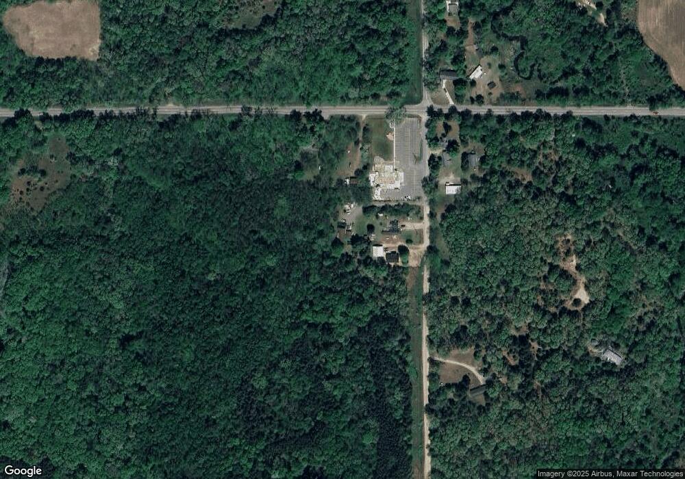
Map
Nearby Homes
- 727 S Whitmore Rd
- 1692 Erway Rd
- 5559 W M 179 Hwy
- 1361 Journey's Way
- Hampton Plan at Journey's Way
- Reno Plan at Journey's Way
- Charlotte Plan at Journey's Way
- Karolynn Plan at Journey's Way
- Oxford Plan at Journey's Way
- Bayberry Plan at Journey's Way
- 1408 Fairview Dr
- Lot 4 Journey's Way
- Parcel 2 Journey's Way
- 1812 Pine Bluff Dr
- 8293 Willson Dr
- 3467 Rork Rd
- VL W Irving Rd
- 0 Benzel Ct Unit Parcel 1 25026265
- Parcel B W Irving Rd
- 2138 Rozell Dr
- 610 S Whitmore Rd
- 620 S Whitmore Rd
- 519 S Whitmore Rd
- 5250 Chief Noonday Rd
- 0 Chief Noonday Rd Unit APP 4
- 5980 Chief Noonday Rd
- 425 S Whitmore Rd
- 5980 W M 179 Hwy
- 401 S Whitmore Rd
- 5884 Chief Noonday Rd
- 711 S Whitmore Rd
- 371 S Whitmore Rd
- 5884 W M 179 Hwy
- 331 S Whitmore Rd
- 5704 W M 179 Hwy
- 5613 W M 179 Hwy
- 345 Faraway Dr
- 311 Faraway Dr
- 5573 W M 179 Hwy
- 5602 W M 179 Hwy