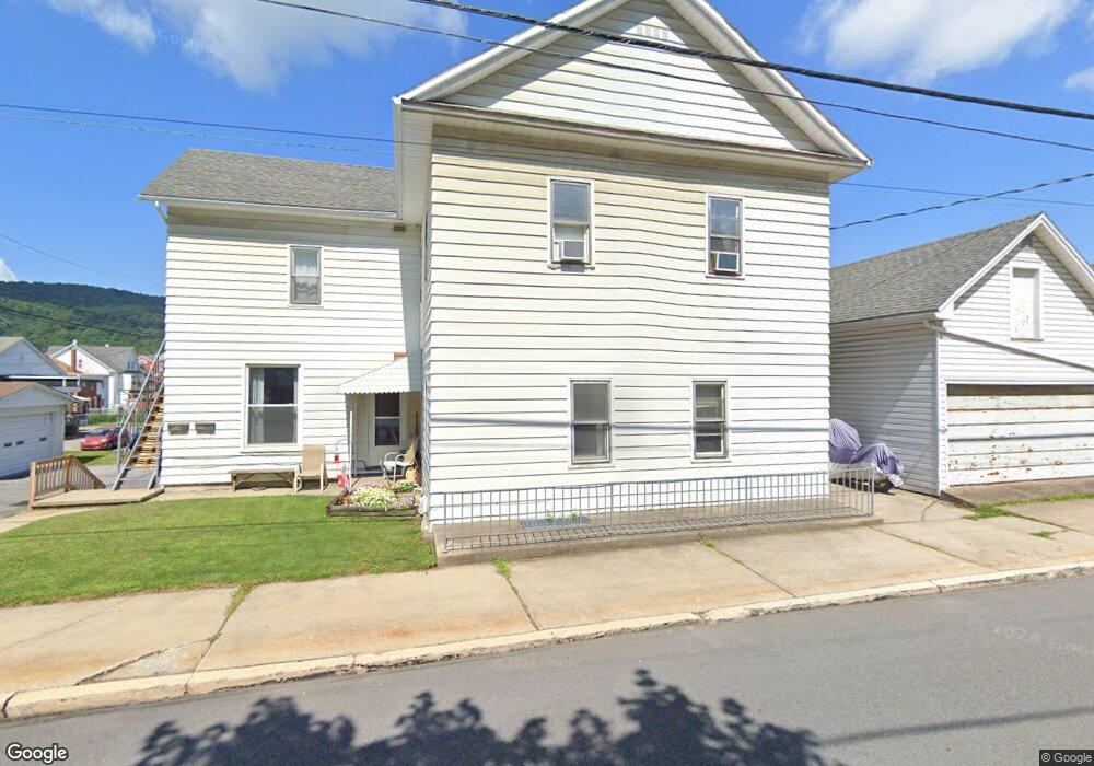
608 Spang St Unit 12 Roaring Spring, PA 16673
Estimated Value: $139,000 - $705,000
--
Bed
--
Bath
2,946
Sq Ft
$143/Sq Ft
Est. Value
About This Home
This home is located at 608 Spang St Unit 12, Roaring Spring, PA 16673 and is currently estimated at $422,000, approximately $143 per square foot. 608 Spang St Unit 12 is a home located in Blair County with nearby schools including Spring Cove Elementary School, Spring Cove Middle School, and Central High School.
Ownership History
Date
Name
Owned For
Owner Type
Purchase Details
Closed on
Jul 29, 2022
Sold by
Dbm Investments Llp
Bought by
Knisely Donald E
Current Estimated Value
Purchase Details
Closed on
Feb 5, 2007
Sold by
Stump Anna A and Stump Anna
Bought by
Dbm Investments Llp
Home Financials for this Owner
Home Financials are based on the most recent Mortgage that was taken out on this home.
Original Mortgage
$58,811
Interest Rate
6.16%
Mortgage Type
Purchase Money Mortgage
Create a Home Valuation Report for This Property
The Home Valuation Report is an in-depth analysis detailing your home's value as well as a comparison with similar homes in the area
Home Values in the Area
Average Home Value in this Area
Purchase History
| Date | Buyer | Sale Price | Title Company |
|---|---|---|---|
| Knisely Donald E | -- | Mcquaide Blasko | |
| Dbm Investments Llp | $110,000 | Allegheny Real Estate Closin |
Source: Public Records
Mortgage History
| Date | Status | Borrower | Loan Amount |
|---|---|---|---|
| Previous Owner | Dbm Investments Llp | $58,811 |
Source: Public Records
Tax History Compared to Growth
Tax History
| Year | Tax Paid | Tax Assessment Tax Assessment Total Assessment is a certain percentage of the fair market value that is determined by local assessors to be the total taxable value of land and additions on the property. | Land | Improvement |
|---|---|---|---|---|
| 2025 | $2,405 | $120,000 | $12,500 | $107,500 |
| 2024 | $2,253 | $120,000 | $12,500 | $107,500 |
| 2023 | $2,202 | $120,000 | $12,500 | $107,500 |
| 2022 | $2,175 | $120,000 | $12,500 | $107,500 |
| 2021 | $2,175 | $120,000 | $12,500 | $107,500 |
| 2020 | $2,172 | $120,000 | $12,500 | $107,500 |
| 2019 | $2,116 | $120,000 | $12,500 | $107,500 |
| 2018 | $1,955 | $120,000 | $12,500 | $107,500 |
| 2017 | $15,230 | $122,600 | $12,500 | $110,100 |
| 2016 | $459 | $10,290 | $580 | $9,710 |
| 2015 | $459 | $10,290 | $580 | $9,710 |
| 2014 | $459 | $10,290 | $580 | $9,710 |
Source: Public Records
Map
Nearby Homes
- 304 Poplar St
- 1194 Spang St Unit ext.
- 717 New St
- 628 Locust St
- 932 Beech St
- 452 Shawnee Dr
- 15033 Dunnings Hwy
- 113 Place Lafayette Ln
- 1310 Cove Lane Rd
- 161 Pepple Rd
- 0 Dunnings Hwy Unit 63202
- 1066 Oak Terrace Dr
- 1246 Oak Terrace Dr
- 328 Rubob Farm Ln
- 563 Lock Mountain Rd
- 00 Ridge Run Rd Unit Lot 167
- 00 Ridge Run Rd Unit Lot 227
- 00 Iron Masters Rd Unit Lot 128
- 00 Iron Masters Rd Unit Lot 275
- . Heverly Ave