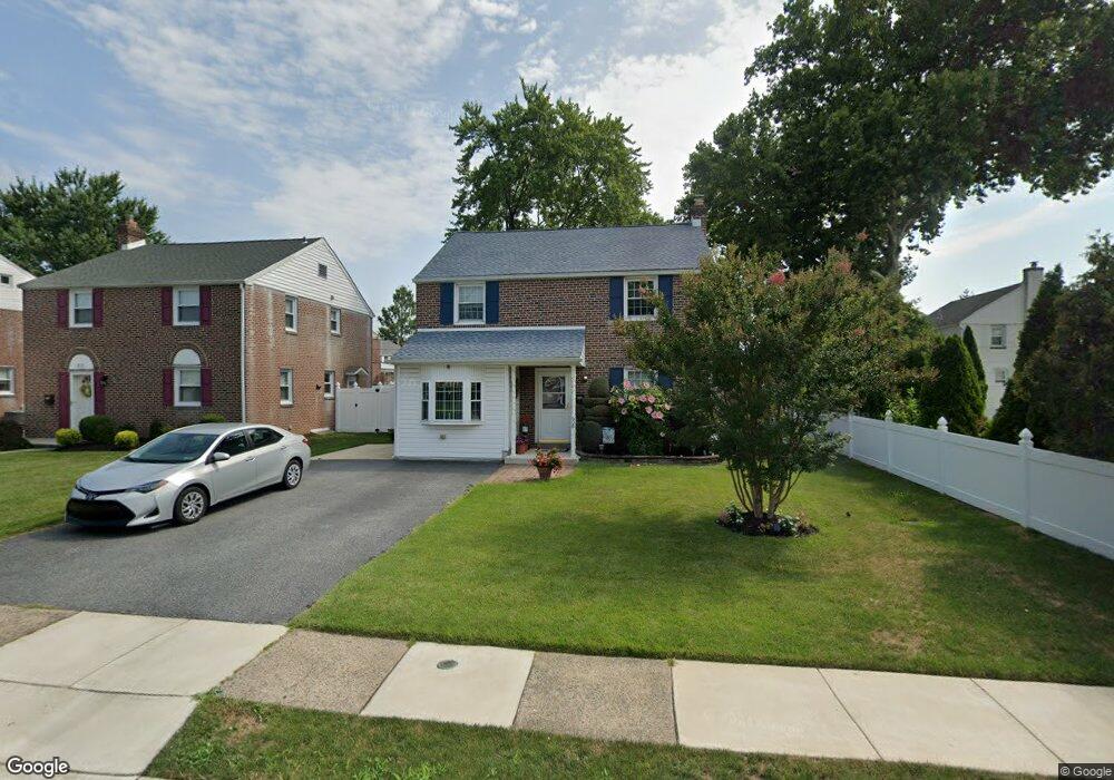
608 Stanbridge Rd Morton, PA 19070
Estimated Value: $347,765 - $398,000
3
Beds
1
Bath
1,506
Sq Ft
$247/Sq Ft
Est. Value
About This Home
This home is located at 608 Stanbridge Rd, Morton, PA 19070 and is currently estimated at $372,441, approximately $247 per square foot. 608 Stanbridge Rd is a home located in Delaware County with nearby schools including Amosland El School, Ridley Middle School, and Ridley High School.
Ownership History
Date
Name
Owned For
Owner Type
Purchase Details
Closed on
Dec 30, 2008
Sold by
Hanley Edward J and Estate Of Rachel E Hanley
Bought by
Marconi Anthony F and Marconi Lorraine E
Current Estimated Value
Home Financials for this Owner
Home Financials are based on the most recent Mortgage that was taken out on this home.
Original Mortgage
$168,000
Outstanding Balance
$110,697
Interest Rate
5.99%
Mortgage Type
Purchase Money Mortgage
Estimated Equity
$261,744
Create a Home Valuation Report for This Property
The Home Valuation Report is an in-depth analysis detailing your home's value as well as a comparison with similar homes in the area
Home Values in the Area
Average Home Value in this Area
Purchase History
| Date | Buyer | Sale Price | Title Company |
|---|---|---|---|
| Marconi Anthony F | $210,000 | None Available |
Source: Public Records
Mortgage History
| Date | Status | Borrower | Loan Amount |
|---|---|---|---|
| Open | Marconi Anthony F | $168,000 |
Source: Public Records
Tax History Compared to Growth
Tax History
| Year | Tax Paid | Tax Assessment Tax Assessment Total Assessment is a certain percentage of the fair market value that is determined by local assessors to be the total taxable value of land and additions on the property. | Land | Improvement |
|---|---|---|---|---|
| 2025 | $6,665 | $191,960 | $65,120 | $126,840 |
| 2024 | $6,665 | $191,960 | $65,120 | $126,840 |
| 2023 | $6,375 | $191,960 | $65,120 | $126,840 |
| 2022 | $6,171 | $191,960 | $65,120 | $126,840 |
| 2021 | $9,552 | $191,960 | $65,120 | $126,840 |
| 2020 | $6,682 | $118,290 | $33,180 | $85,110 |
| 2019 | $6,560 | $118,290 | $33,180 | $85,110 |
| 2018 | $6,478 | $118,290 | $0 | $0 |
| 2017 | $6,478 | $118,290 | $0 | $0 |
| 2016 | $649 | $118,290 | $0 | $0 |
| 2015 | $662 | $118,290 | $0 | $0 |
| 2014 | $649 | $118,290 | $0 | $0 |
Source: Public Records
Map
Nearby Homes
- 706 Brooke Ave
- 734 Brooke Cir
- 2202 Clayton Rd
- 1919 Pershing Ave
- 510 Amosland Rd
- 668 Hutchinson Terrace
- 810 Quince Ln
- 425 Hutchinson Terrace
- 2329 Armstrong Ave
- 370 Amosland Rd
- 361 Amosland Rd
- 357 Cedar Ave
- 363 Holmes Rd
- 31 Faraday Ct
- 2335 Poe Rd
- 1908 Franklin Ave
- 2608 Grand Ave
- 339 Sutton Ave
- 31 Silver Lake Terrace Unit 32
- 115 President Ave
- 612 Stanbridge Rd
- 2115 6th Ave
- 609 Circle Terrace
- 2119 6th Ave
- 616 Stanbridge Rd
- 605 Circle Terrace
- 613 Circle Terrace
- 2121 6th Ave
- 620 Stanbridge Rd
- 609 Stanbridge Rd
- 605 Stanbridge Rd
- 613 Stanbridge Rd
- 601 Stanbridge Rd
- 617 Stanbridge Rd
- 624 Stanbridge Rd
- 615 Circle Terrace
- 2109 6th Ave
- 621 Stanbridge Rd
- 2114 6th Ave
- 616 Circle Terrace